

 Road
 Weather


About
Stigafoss is a waterfall on the Stigá river in Iceland's South Coast.
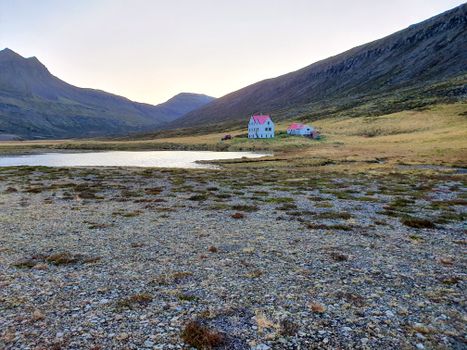
At 138 metres high, it is the second-highest waterfall in Iceland (Glymur being the highest). The waterfall is already visible from the ring road that runs around Iceland, but is nonetheless difficult to reach: a cart track leads part of the way there, but for the last long stretch you have to find your own way. The river Stigá has its source in the Öræfajökull glacier.
Translated from Icelandic Wikipedia · CC BY-SA 4.0
Map of Stigafoss
Map
63.9320°N, 16.5982°W · South Coast
Tours near Stigafoss
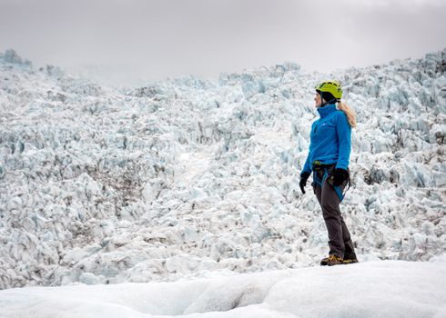 Skaftafell 3 hours Easy Level Glacier Hikefrom 14.613 ISK · 3 h
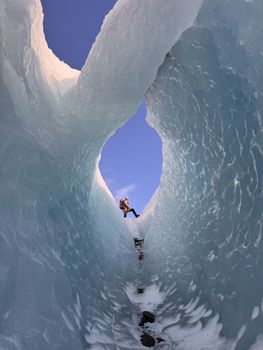 Skaftafell Beyond The Limit - 6 hour Adventurefrom 25.400 ISK · 6 h
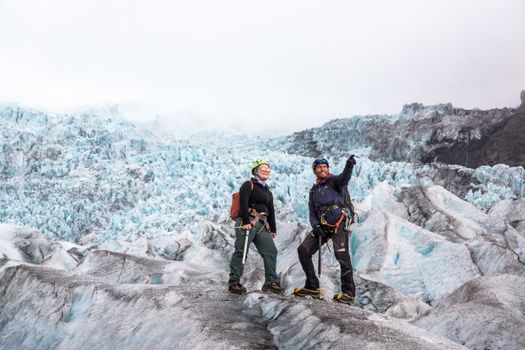 Skaftafell 5-Hours Adventure Glacier Hikefrom 20.759 ISK · 5 h
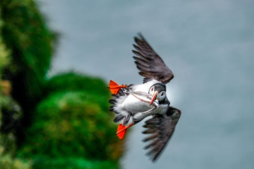 Ingólfshöfði Puffin Tourfrom 12.500 ISK · 2 h 30 min
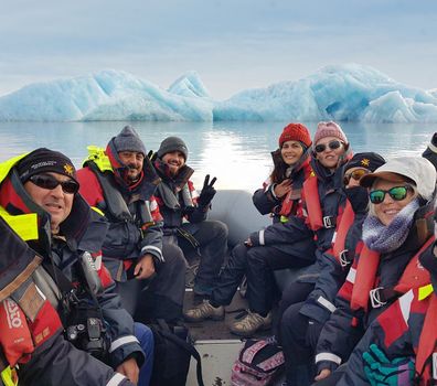 Fjallsárlón - Iceberg boat tourfrom 11.300 ISK · 45 min
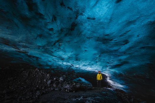 Vatnajökull Premium Ice Cave Tourfrom 25.900 ISK · 3 h 30 min
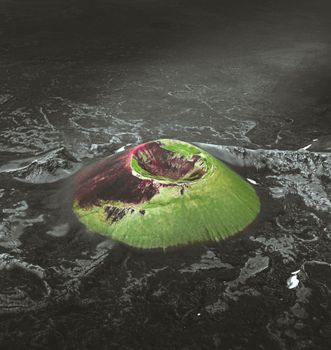 Laki Craters Airplane Tour from Skaftafellfrom 51.900 ISK · 50 min
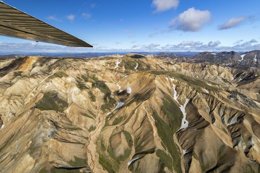 Landmannalaugar & Highland Wonders Airplane Tour from Skaftafellfrom 67.900 ISK · 1 h 15 min
 Skaftafell ATV one hour sightseeingfrom 19.557 ISK · 1 h
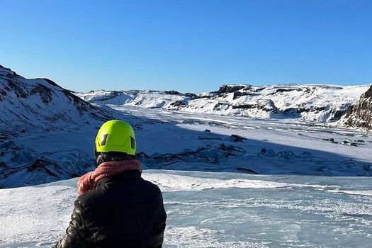 Glacier Hike Experience on Sólheimajökull Glacier - Meet on locationfrom 15.990 ISK · 3 h
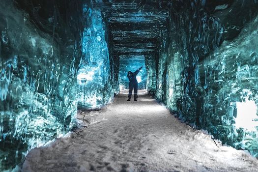 Ice Cave and Snowmobile Tour from Gullfossfrom 42.891 ISK · 4 h
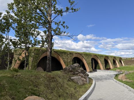 Laugarás Lagoon Birki - Premium Lagoonfrom 7.900 ISK · 2 hAll 1,631 toursBy activity and region
Stigafoss weather and conditions
Last updated
2°Cheavy drizzle · feels -8°C15 m/sgusts 208 h 41 mdaylight · 08:30 – 17:11

Tonight
Northern lights forecast by region
In season now · Winter in IcelandGlacier Hike Experience on Sólheimajökull Glacier - Meet on locationfrom 15.990 ISK · 3 hAll 1,631 tours
Cars & campers
−12%exclusive discountFree cancellation KEF airport pickup 24/74.8
 Transmission
 Fuel
 Seats
 Drive


 Sleeps
Photos & videos
Nearby
km column = your drive
- 1Sionyfoss4 km
- 2Grófarlækjarfoss4 km
- 3Múlafoss8 km
- 4Hangandifoss9 km
- 5
 Svartifoss21 km

 Hot springs
All hot springs →
 Fuel
- 1
 Fagurhólsmýri6 km · 310.9 kr/L
- 2Freysnes16 km · 308.6 kr/L
- 3
 Kirkjubæjarklaustur72 km · 308.7 kr/L
 Supermarkets


 Tours
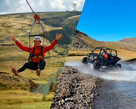 Adrenaline Combo: Off-Road Buggy & Mega Zipline Experiencefrom 29.300 ISK · 3 hours
 Buggy Adventure in Þórsmörkfrom 89.990 ISK · 5 hours
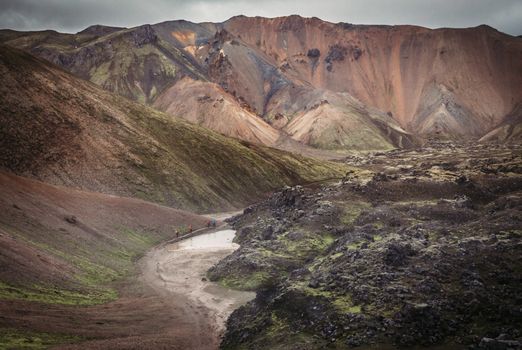 Bus transfer from Landmannalaugar to Hella / Reykjavikfrom 12.220 ISK · 4 hours
Frequently
asked
questions
How do I get to Stigafoss?
Stigafoss is located in South Coast. Check live road conditions on this page before you drive.
Is Stigafoss free to visit?
Most Icelandic waterfalls are free to enter. Parking may cost 700–1000 ISK — use the Parka app or pay on-site.
What is the best time to visit Stigafoss?
Stigafoss is accessible year-round. Summer offers the best light; winter can be dramatic but check road conditions first.
Data & sources
Everything on this page comes from the sources below. Live feeds refresh automatically.
 PhotographyHero & gallery photography · Bromr · CC BY-SA 3.0
 Icelandic WikipediaEncyclopedic description · CC BY-SA 4.0
 VegagerðinLive road status & cameras · Icelandic Road Administration
 Open-MeteoWeather forecast · CC BY 4.0
 NOAA SWPCAurora (planetary Kp) forecast · public domain
 OpenStreetMapInteractive-map data · ODbL
 Esri, Maxar & Earthstar GeographicsSatellite imagery for the 3D terrain render · GIS User Community
Spotted an error, or have something to add? Help us keep this page accurate.
Iceland nowfrom 19 Sep 06:10