




 Road
Road  Weather


About
Magnúsarfoss is a 10-meter waterfall on the Stórilækur stream in Iceland's South Coast.
It lies on the Stórilækur stream (which flows into the Skaftafellsá) and is the first waterfall below Svartifoss; the next ones downstream are called Hundafoss and Þjófafoss. It has a drop of 9 m and a width of 2 m. The waterfall's notable feature is a small reconstructed hydroelectric power station that, from 1925, supplied the Bölti farm with electricity from a Francis turbine at an effective head of 12 m (output equivalent to 9 kW), with water fed through wooden pipes of 10–12 inches inner diameter; the Öræfi area was not connected to the general electricity grid until 1973. Also in 1925, a separate hydroelectric plant (1 kW, head 33 m, pipe length 100 m) was operated for the Hæðir farm.
Translated from Icelandic Wikipedia · CC BY-SA 4.0
Map of Magnúsarfoss
64.0211°N, 16.9799°W · South Coast
Tours near Magnúsarfoss
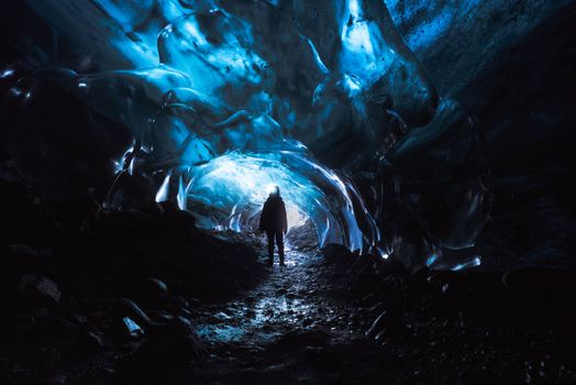 Skaftafell Blue Ice Cave and Glacier Walk Tourfrom 19.999 ISK · 3 h
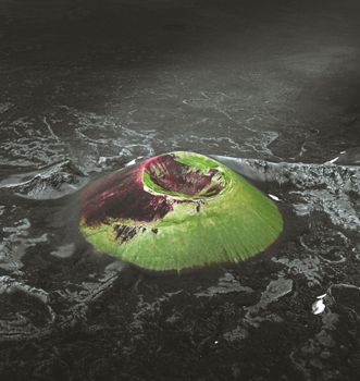 Laki Craters Airplane Tour from Skaftafellfrom 51.900 ISK · 50 min
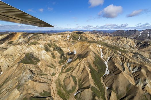 Landmannalaugar & Highland Wonders Airplane Tour from Skaftafellfrom 67.900 ISK · 1 h 15 min
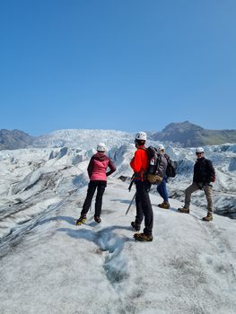 Skaftafell 3 Hour Glacier Walkfrom 17.900 ISK · 3 h
 Rótarfjallshnúkur skiingfrom 64.900 ISK · 10 h
 Lagoons, Glaciers & Colorful Mountains Airplane Tour from Skaftafellfrom 51.900 ISK · 50 min
 Hvannadalshnúkur The Great Withe Onefrom 79.900 ISK · 14 h
 Skaftafell Glacier Adventurefrom 23.400 ISK · 4 h 30 min
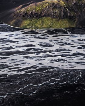 Black Sands & Riverbeds Airplane Tour from Skaftafellfrom 49.900 ISK · 45 min
 Solheimajokull Ice Climbing & Glacier Hikefrom 31.381 ISK · 4 h
 Early Bird Ice Cavefrom 25.000 ISK · 3 h 30 min
 Laugarás Lagoon Birki - Premium Lagoonfrom 9.900 ISK · 2 hAll 1,648 toursBy activity and region
Magnúsarfoss weather and conditions
Last updated

Cars & campers
 KEF airport pickup 24/74.8
 Transmission
 Fuel
Fuel Seats
Seats Drive
Drive

 Sleeps
Photos & videos
Nearby
km column = your drive
- 1
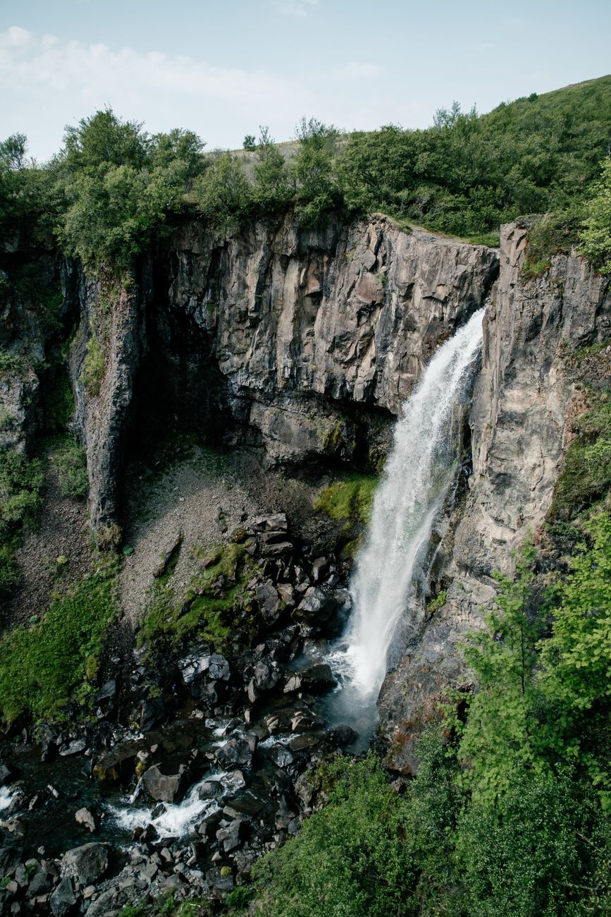 Hundafoss< 1 km
 - 2Þjófafoss< 1 km
- 3Nafnlausifoss< 1 km
- 4
 Svartifoss1 km
 - 5Morsárfoss11 km

 Hot springs
- 1Guðlaug29 km
- 2Geothermal hot spring near Skaftárhreppur59 km
- 3Hoffell Hot Tubs89 km

 Fuel
Fuel
- 1Freysnes5 km · 308.6 kr/L
- 2
 Fagurhólsmýri23 km · 310.9 kr/L
 - 3
 Kirkjubæjarklaustur58 km · 308.7 kr/L
 Supermarkets


 Tours
Tours
 Adrenaline Combo: Off-Road Buggy & Mega Zipline Experiencefrom 29.300 ISK · 3 hours
  Buggy Adventure in Þórsmörkfrom 89.990 ISK · 5 hours
  Bus transfer from Landmannalaugar to Hella / Reykjavikfrom 12.220 ISK · 4 hours
Frequently
asked
questions
How do I get to Magnúsarfoss?
Is Magnúsarfoss free to visit?
What is the best time to visit Magnúsarfoss?
Data & sources
Everything on this page comes from the sources below. Live feeds refresh automatically.
 PhotographyHero & gallery photography · Debivort at en.wikipedia · CC BY-SA 3.0
 Icelandic WikipediaEncyclopedic description · CC BY-SA 4.0
 VegagerðinLive road status & cameras · Icelandic Road Administration
 Open-MeteoWeather forecast · CC BY 4.0
 NOAA SWPCAurora (planetary Kp) forecast · public domain
 OpenStreetMapInteractive-map data · ODbL
 Esri, Maxar & Earthstar GeographicsSatellite imagery for the 3D terrain render · GIS User Community
Spotted an error, or have something to add? Help us keep this page accurate.