
 Road
 Weather


Map of Nautagil
Map
64.5956°N, 14.8674°W · East Iceland
Plan your visit
 Off the main road
- 13 km from Route 1
 Nearest town
- Djúpivogur — 28.7 km away
 Distance from Reykjavík
- 344 km in a straight line
 What else is close
- 98 mapped places within 20 km
Tours near Nautagil
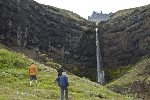 Valleys and Waterfallsfrom 42.000 ISK · 5 h
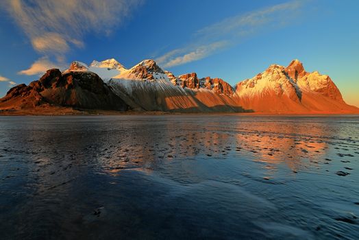 Djúpivogur: Jökulsárlón & Diamond Beach Cruise Tourfrom 29.550 ISK · 6 h 30 min
 Northern Lights Chase from Glacier Lagoonfrom 25.000 ISK · 5 h
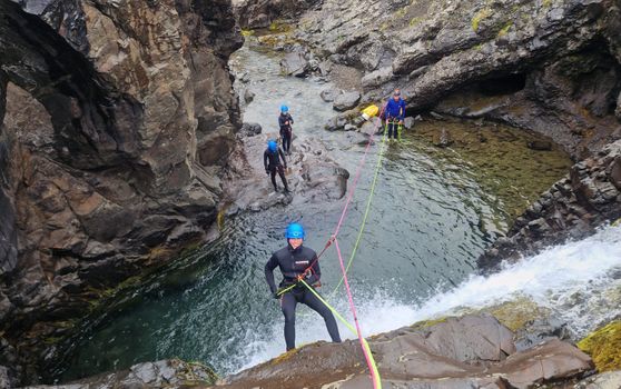 Half-day Canyoning under Vatnajökullfrom 34.900 ISK · 5 h
 Glaciers of Höfn - Where ice shapes lifefrom 2.990 ISK · 1 h
 Museumfrom 3.000 ISK · 1 h
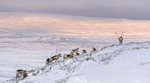 Wild Reindeer Experiencefrom 36.500 ISK · 4 h
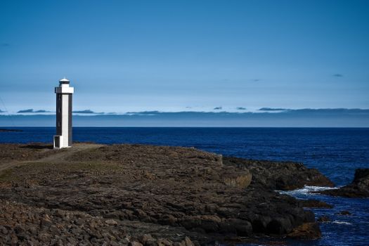 Streiti Coastlinefrom 17.500 ISK · 2 h 30 min
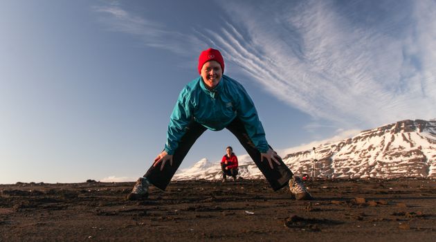 Mindfulness Yoga hike in Breiðdalsvíkfrom 8.700 ISK · 2 hNorthern Lights Chase from Glacier Lagoonfrom 25.000 ISK · 5 h
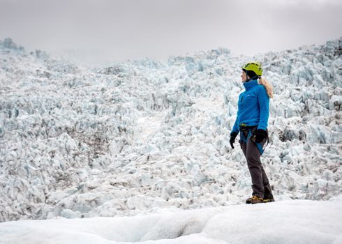 Skaftafell 3 hours Easy Level Glacier Hikefrom 14.613 ISK · 3 h
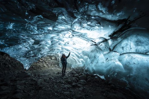 Ice Cave Discoveryfrom 34.900 ISK · 6 hAll 1,631 toursBy activity and region
Nautagil weather and conditions
Last updated
2°Clight drizzle · feels -3°C7 m/sgusts 118 h 41 mdaylight · 08:23 – 17:04

Tonight
Northern lights forecast by region
In season now · Winter in IcelandNorthern Lights Chase from Glacier Lagoonfrom 25.000 ISK · 5 hAll 1,631 tours
Cars & campers
−12%exclusive discountFree cancellation KEF airport pickup 24/74.8
 Transmission
 Fuel
 Seats
 Drive


 Sleeps
Photos & videos
No verified videos yet — we only show footage confirmed to be Nautagil, no lookalikes. Search YouTube
Nearby
km column = your drive
- 1Partsgil6 km
- 2Krossgil6 km
- 3
 Starmýrardalur13 km
- 4Skyndidalur20 km
- 5Reipsdalur23 km

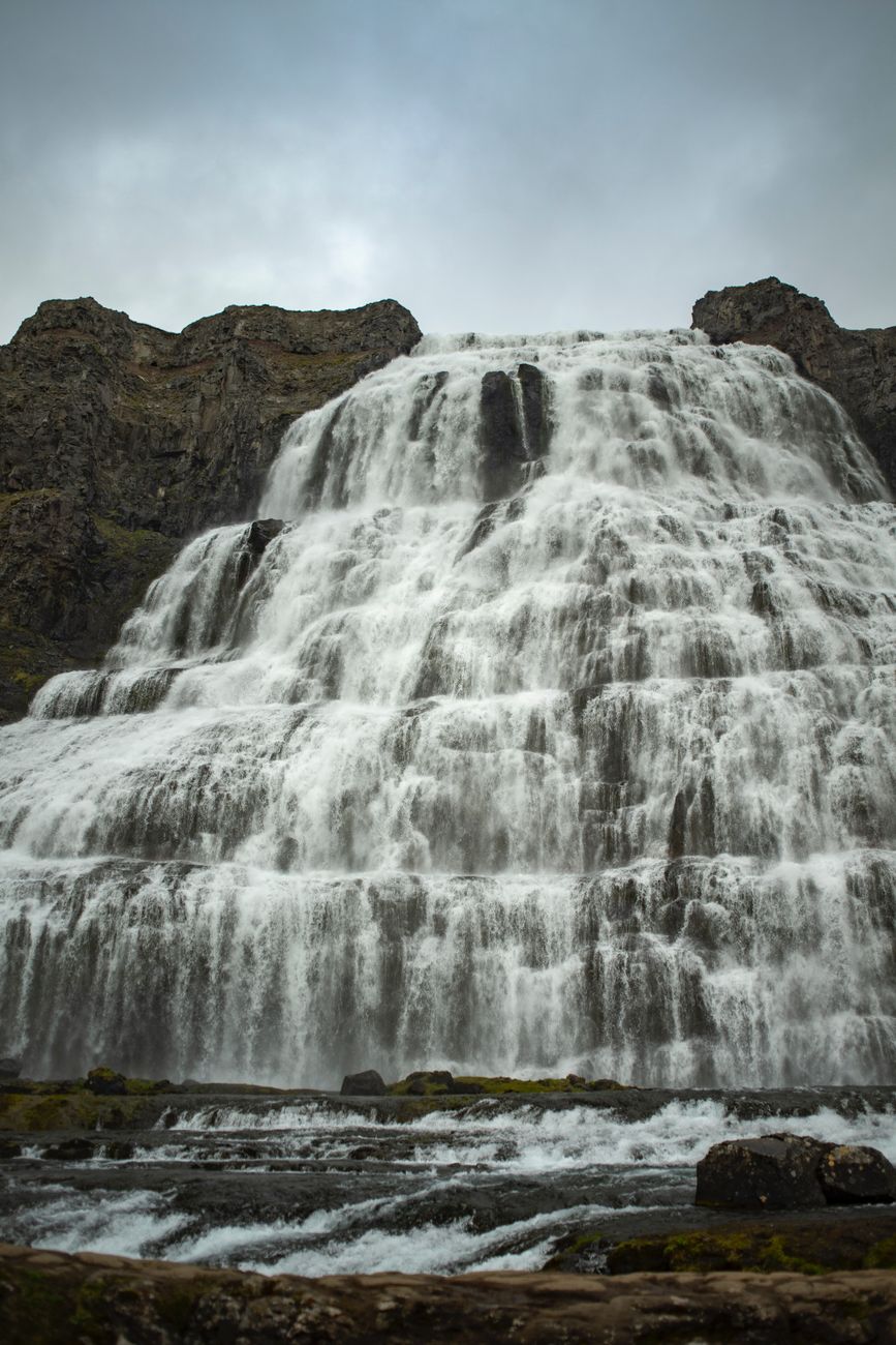
 Waterfalls

 Hot springs
- 1Djúpavogskörin26 km
- 2Natural hot pot near Múlaþing29 km
- 3Hoffell Hot Tubs32 km

 Fuel

 Supermarkets


 Tours
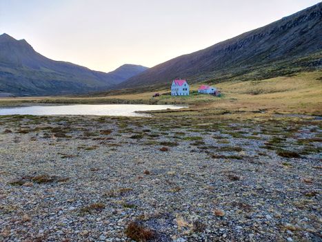 Abandoned Fjords Super Jeep Tourfrom 42.000 ISK · 5 hours
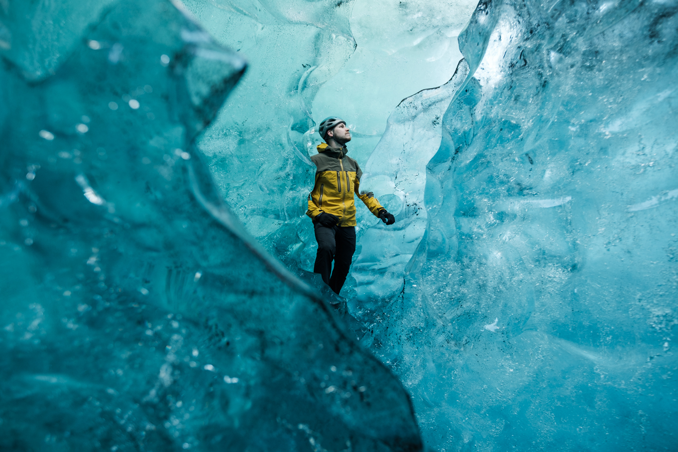 Blue Ice Discoveryfrom 24.900 ISK · 4 hours
 Breidamerkurjökull Glacier Hikefrom 15.491 ISK · 3 hours
Frequently
asked
questions
How do I get to Nautagil?
Nautagil is a valley in East Iceland. Check live road conditions on this page before you drive — some valleys are reached by F-roads that need a 4×4 and open only in summer, while roadside valleys suit any car.
When is the best time to visit Nautagil?
Lowland valleys are accessible year-round, though winter brings short daylight and snow. Highland valleys are best in summer (roughly late June to early September), when mountain roads open and rivers drop. Weather in valleys can differ from the surrounding uplands — carry layers.
Can I hike in Nautagil?
Many Icelandic valleys have walking routes along the valley floor or up the surrounding slopes. Conditions vary — tell someone your route, check the forecast, and treat highland tracks as serious terrain. There are no staffed facilities in most valleys.
Is Nautagil worth visiting?
Nautagil is one of East Iceland’s valleys. Iceland’s valleys range from saga-history farmland and wooded floors to raw highland troughs — use the map and directions on this page to decide whether it fits your route.
Data & sources
Everything on this page comes from the sources below. Live feeds refresh automatically.
 Wikimedia CommonsHero & gallery photography · NASA Johnson Space Center / ROBERT MARKOWITZ NASA-JSC · Wikimedia Commons · Public domain
 VegagerðinVisitor access & practical facts
 VegagerðinLive road status & cameras · Icelandic Road Administration
 Open-MeteoWeather forecast · CC BY 4.0
 NOAA SWPCAurora (planetary Kp) forecast · public domain
 OpenStreetMapInteractive-map data · ODbL
 Esri, Maxar & Earthstar GeographicsSatellite imagery for the 3D terrain render · GIS User Community
Spotted an error, or have something to add? Help us keep this page accurate.
Iceland nowfrom 19 Sep 06:10