



 Road
Road  Weather


About
Hafrafellsháls rises to 343 m in East Iceland — the 329th highest of the 371 peaks we map there. Nearest road is Route 1, 11 km away.
Map of Hafrafellsháls
Map
64.2844°N, 15.6974°W · East Iceland
Plan your visit
 Elevation
- 343 m above sea level
 Off the main road
- 10.6 km from Route 1
 Nearest town
- Nesjahverfi — 23 km away
 Distance from Reykjavík
- 302 km in a straight line
 What else is close
- 48 mapped places within 20 km
Tours near Hafrafellsháls
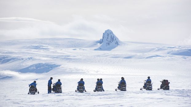 Snowmobile tour on Vatnajökull Glacierfrom 31.500 ISK · 3 h
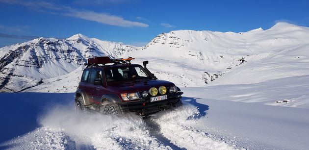 Super Jeep Glacier Tourfrom 31.000 ISK · 3 h
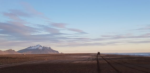 Super Jeep Frozen Glacier Lagoon Tourfrom 23.500 ISK · 3 h
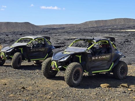 Buggy tours - beach and secret glacier lagoon - 4-5 hoursfrom 54.500 ISK · 4 h
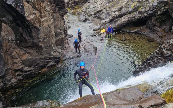 Half-day Canyoning under Vatnajökullfrom 34.900 ISK · 5 h
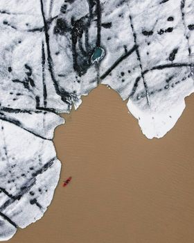 Glacier Kayak Adventure at Heinabergslónfrom 20.900 ISK · 3 h 30 min
 Northern Lights Chase from Glacier Lagoonfrom 25.000 ISK · 5 h
 Glaciers of Höfn - Where ice shapes lifefrom 2.990 ISK · 1 h
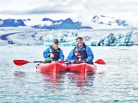 Kayaking at The Glacier Lagoonfrom 18.500 ISK · 1 h 30 min
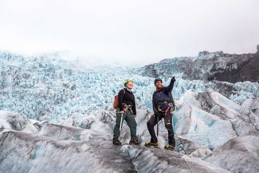 Skaftafell 5-Hours Adventure Glacier Hikefrom 20.775 ISK · 5 h
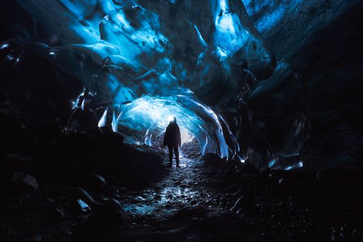 Skaftafell Blue Ice Cave and Glacier Walk Tourfrom 19.999 ISK · 3 hNorthern Lights Chase from Glacier Lagoonfrom 25.000 ISK · 5 hAll 1,648 toursBy activity and region
Hafrafellsháls weather and conditions
Last updated
1°Cclear · feels -5°C4 m/sgusts 109 h 50 mdaylight · 07:53 – 17:43

Tonight
Northern lights forecast by region
In season now · Winter in IcelandSkaftafell 5-Hours Adventure Glacier Hikefrom 20.775 ISK · 5 hAll 1,648 tours
Cars & campers
−12%exclusive discountFree cancellation KEF airport pickup 24/74.8
KEF airport pickup 24/74.8
 Transmission
 Fuel
Fuel Seats
Seats Drive
Drive

 Sleeps
Photos & videos
No verified videos yet — we only show footage confirmed to be Hafrafellsháls, no lookalikes. Search YouTube
Nearby
km column = your drive
- 1Skálafellshnúta4 km
- 2Geitakinn6 km
- 3Hafrafell7 km
- 4Litlafell10 km
- 5Grjóbotnstindur13 km

 Waterfalls
 Hot springs
- 1Geothermal hot spring near Hornafjörður21 km
- 2Hoffell Hot Tubs21 km
- 3Geothermal hot spring near Höfn24 km

 Fuel
Fuel

 Supermarkets


 Tours
Tours
 Abandoned Fjords Super Jeep Tourfrom 42.000 ISK · 5 hours
 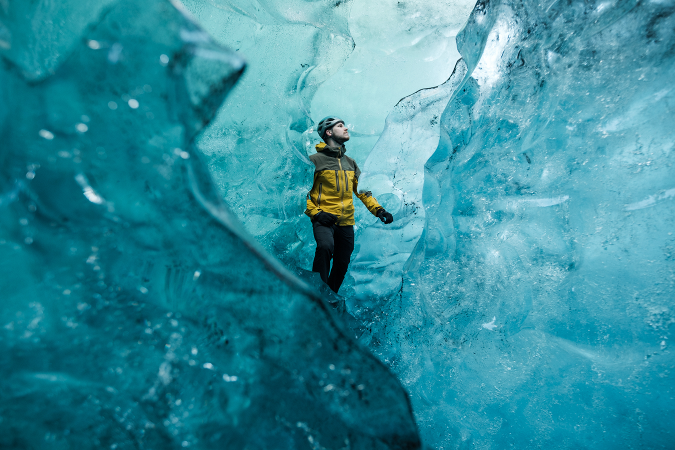 Blue Ice Discoveryfrom 24.900 ISK · 4 hours
  Breidamerkurjökull Glacier Hikefrom 15.377 ISK · 3 hours
Frequently
asked
questions
How do I get to Hafrafellsháls?
Hafrafellsháls is in East Iceland. Check live road conditions on this page before you drive — highland trailheads often need a 4×4, and some access roads only open in summer.
Can I hike Hafrafellsháls without a guide?
It depends on the route and conditions. Lower Icelandic peaks are hikeable in summer with proper boots, layers and a forecast check, but weather turns fast even in July. Tell someone your route and register plans on safetravel.is.
When is the best time to hike Hafrafellsháls?
June to September, when snow has cleared from the trails and daylight is long. Winter ascents are serious mountaineering. Always check the forecast on vedur.is before you set out.
How tall is Hafrafellsháls?
Hafrafellsháls is 343 m above sea level, according to OpenStreetMap and Wikidata records.
Data & sources
Everything on this page comes from the sources below. Live feeds refresh automatically.
 Wikimedia CommonsHero & gallery photography · Hansueli Krapf · Wikimedia Commons · CC BY-SA 4.0
 VegagerðinVisitor access & practical facts
 VegagerðinLive road status & cameras · Icelandic Road Administration
 Open-MeteoWeather forecast · CC BY 4.0
 NOAA SWPCAurora (planetary Kp) forecast · public domain
 OpenStreetMapInteractive-map data · ODbL
 Esri, Maxar & Earthstar GeographicsSatellite imagery for the 3D terrain render · GIS User Community
Spotted an error, or have something to add? Help us keep this page accurate.
Iceland nowfrom 19 Sep 06:10