


 Road
 Weather


About
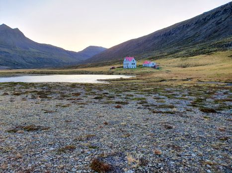
A 580 km² uninhabited peninsula at the top of the Westfjords, protected as a nature reserve — no roads, no power lines, reached only by boat or on foot.
Abandoned farmsteads, fog rolling over Hornbjarg, and an arctic fox trotting past your tent like it pays rent. The quietest place in Iceland that still has a ferry timetable.
This is expedition hiking, not a day trip. Boats run roughly mid-June to late August, rivers are unbridged, there is zero phone signal in most bays, and the weather cancels plans without asking. Carry everything in and out, and build a spare day around the boat.
Map of Hornstrandir
66.3889°N, 22.5288°W · Westfjords
Plan your visit
 Off the main road
- 38.6 km from Route 61
 Nearest town
- Hnífsdalur — 41 km away
 Distance from Reykjavík
- 251 km in a straight line
 What else is close
- 98 mapped places within 20 km
Tours that include Hornstrandir
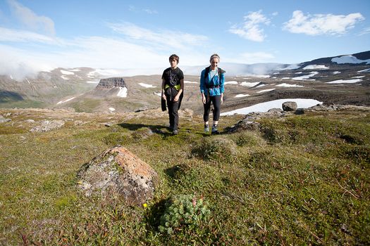 Hornstrandir Panoramafrom 63.100 ISK · 10 h
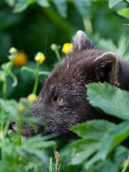 Wildlife and Arctic Foxesfrom 63.100 ISK · 10 h
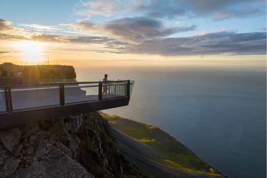 Peaks and Minesfrom 35.000 ISK · 4 h
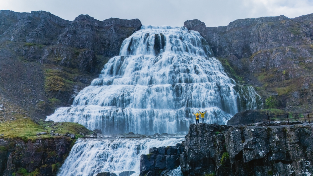 Dynjandi Waterfall & Iceland’s Oldest Bookstore - Westfjords Cruise Tourfrom 21.490 ISK · 4 h
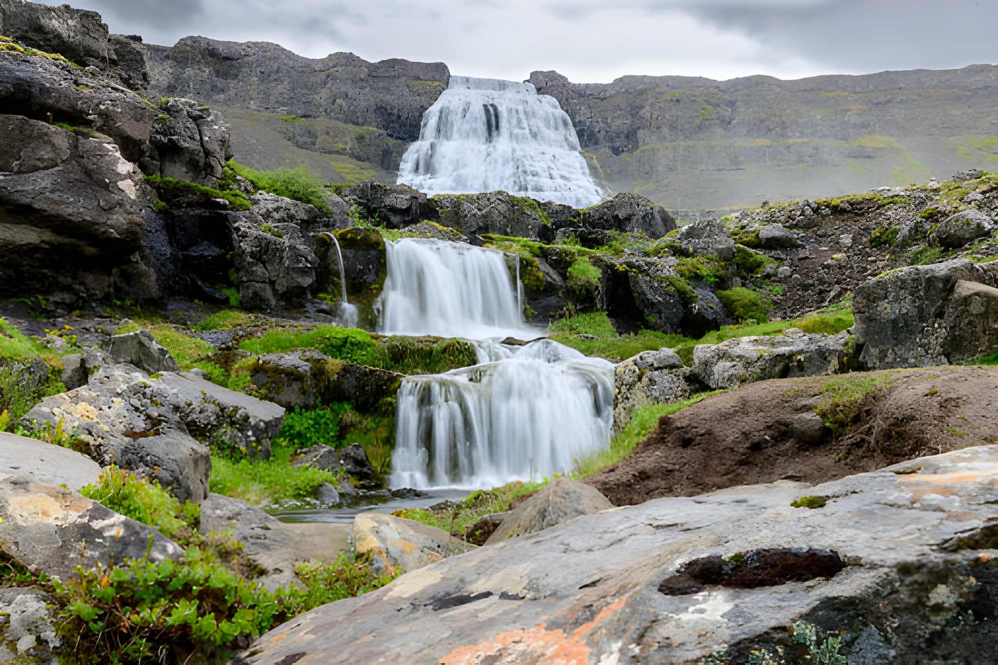 Dynjandi Waterfall and Farm Visit: Small Group Tour from Isafjordur Portfrom 18.120 ISK · 3 h 30 min
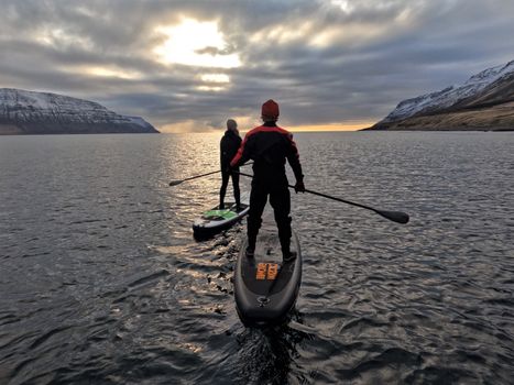 Lake Escapefrom 35.000 ISK · 4 h
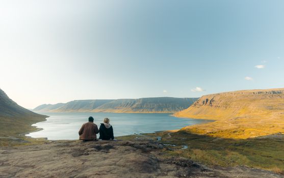 Hike and Waterfall tripfrom 55.000 ISK · 6 h
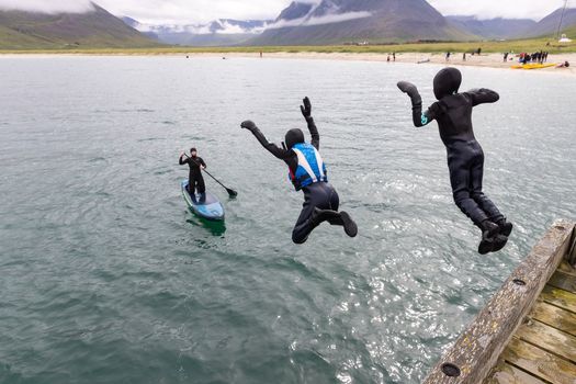 Hit the fjords with those boards.from 60.000 ISK · 7 h
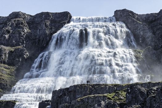 Dynjandi Waterfall & Farm Tour from Isafjordur Portfrom 17.990 ISK · 3 h 30 min
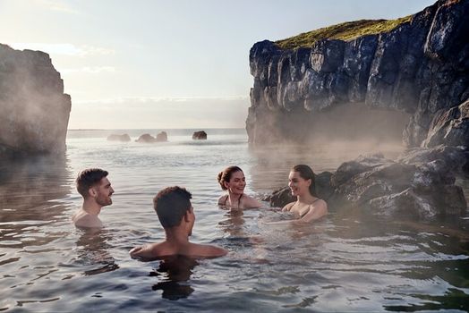 South Coast & Sky Lagoon Sér Pass Tourfrom 32.590 ISK · 13 h
 Blue Ice - Glacier Hike & Ice Climbing from Reykjavíkfrom 32.990 ISK · 13 h 30 min
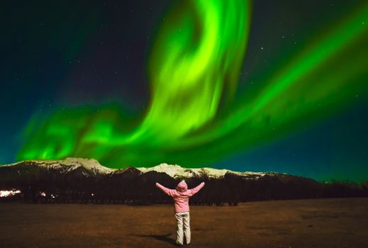 Northern Lights Tour Led by Local Hunters - Hotel pickup availablefrom 11.990 ISK · 4 hAll 1,631 toursBy activity and region
Hornstrandir weather and conditions
Last updated

Cars & campers
 KEF airport pickup 24/74.8

 Transmission
 Fuel
 Seats
 Drive


 Sleeps
Photos & videos
No verified videos yet — we only show footage confirmed to be Hornstrandir, no lookalikes. Search YouTube
Nearby
 Waterfalls

 Hot springs
- 1Geothermal hot spring near Árneshreppur37 km
- 2Natural hot pot near Strandabyggð42 km
- 3Geothermal hot spring near Bolungarvíkurkaupstaður42 km

 Fuel


 Supermarkets


 Tours
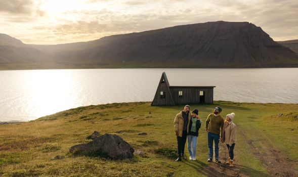 Avoid the crowdsfrom 60.000 ISK · 6 hours
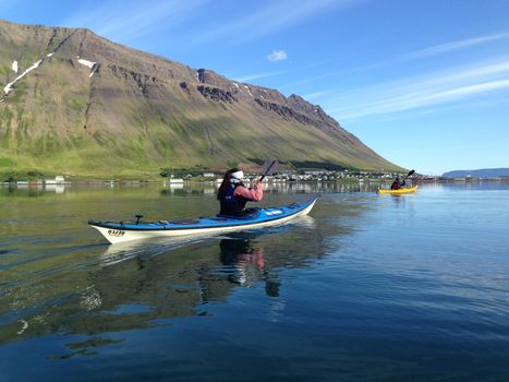 Bike and Kayak Combofrom 27.900 ISK · 7 hours
 BIRD CLIFFS & BEAUTIFUL BEACHES - bikingfrom 36.800 ISK · 9 hours
Frequently
asked
questions
How do you get to Hornstrandir?
Can you drive to Hornstrandir?
When is the Hornstrandir season?
Are the arctic foxes in Hornstrandir dangerous?
Data & sources
Everything on this page comes from the sources below. Live feeds refresh automatically.
 Wikimedia CommonsHero & gallery photography · Mickaël Delcey (Silverkey) · Wikimedia Commons · CC BY-SA 3.0
 VegagerðinVisitor access & practical facts
 VegagerðinLive road status & cameras · Icelandic Road Administration
 Open-MeteoWeather forecast · CC BY 4.0
 NOAA SWPCAurora (planetary Kp) forecast · public domain
 OpenStreetMapInteractive-map data · ODbL
 Esri, Maxar & Earthstar GeographicsSatellite imagery for the 3D terrain render · GIS User Community
Spotted an error, or have something to add? Help us keep this page accurate.