



 Road
Road  Weather
  No photo of Laugafell - Ferðafélag Akureyrar yet
Been here? Be the first to add a photo


Map of Laugafell - Ferðafélag Akureyrar
Map
65.0272°N, 18.3325°W · Highlands
Plan your visit
 Getting there
- Road F752 (Skagafjl.: Laugafell-Sprengisl.)
 Nearest town
- Hrafnagil — 63.1 km away
 Distance from Reykjavík
- 198 km in a straight line
 What else is close
- 17 mapped places within 20 km
 Good to know
- Reached on an F-road. Icelandic law requires a 4WD vehicle on F-roads, and they open only for the summer season — check the current status before setting out.
Tours near Laugafell - Ferðafélag Akureyrar
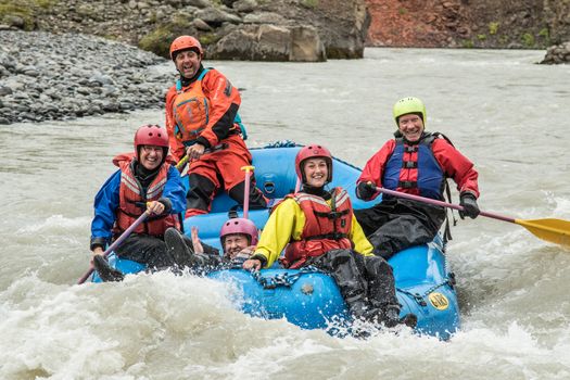 Family Rafting (West)from 21.990 ISK · 3 h 30 min
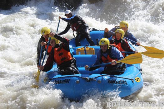 Extreme River Raftingfrom 33.000 ISK · 4 h 30 min
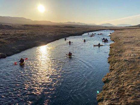 Kayak tripfrom 14.900 ISK · 2 h 15 min
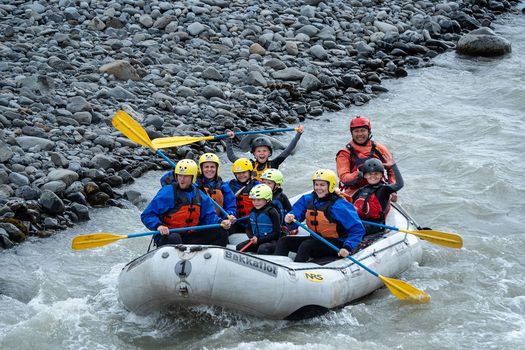 Family River raftingfrom 22.000 ISK · 3 h
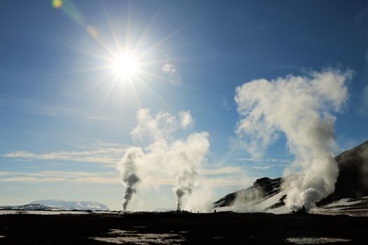 Lake Mývatn & Northern Ligths - Winter Combofrom 35.840 ISK · 3 days
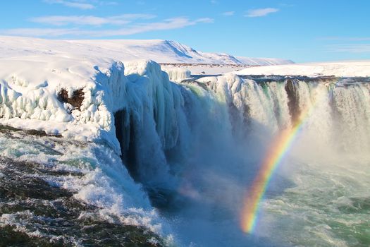 Goðafoss, Forest Lagoon & Northern Lights - Winter Combofrom 35.840 ISK · 3 days
 Dettifoss & Goðafoss Waterfall w/packed Lunch Small Group from Akureyri Portfrom 36.000 ISK · 7 h
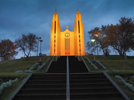 Akureyri City Walk & Local Foodfrom 16.900 ISK · 3 h
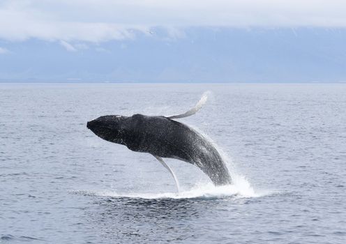 Whale Watching from Akureyrifrom 13.990 ISK · 2 h 30 min
 Blue Ice - Glacier Hike & Ice Climbing from Reykjavíkfrom 32.990 ISK · 13 h 30 min
 Golden Circle and Laugarás Lagoon Lerki Admissionfrom 23.039 ISK · 9 h 30 min
 Spirit of the Aurora (28 person max vehicle)from 14.990 ISK · 5 hAll 1,648 toursBy activity and region
Laugafell - Ferðafélag Akureyrar weather and conditions
Last updated
3°Cpartly cloudy · feels -4°C10 m/sgusts 159 h 45 mdaylight · 08:06 – 17:51

Tonight
Northern lights forecast by region
In season now · Winter in IcelandBlue Ice - Glacier Hike & Ice Climbing from Reykjavíkfrom 32.990 ISK · 13 h 30 minAll 1,648 tours
Cars & campers
−12%exclusive discountFree cancellation KEF airport pickup 24/74.8
KEF airport pickup 24/74.8
 Transmission
 Fuel
Fuel Seats
Seats Drive
Drive

 Sleeps
Photos & videos

No photos or videos yet
Been to Laugafell - Ferðafélag Akureyrar? Help other travellers — add the first photo or video.
 Search YouTube
Nearby
km column = your drive
- 1Ingólfsskáli í Lambahrauni - Ferðafélag Skagfirðinga27 km
- 2Helgaskáli32 km
- 3Hildarsel í Austurdal - Ferðafélag Skagfirðinga32 km
- 4Nýidalur35 km
- 5Eiríksskáli (Svínárnes)41 km

 Waterfalls
 Hot springs
All hot springs →
 Fuel
Fuel
- 1
 Kjarnagata72 km · 308.7 kr/L
 - 2
 Akureyri Leiruvegur72 km · 310.9 kr/L
 - 3Mýrarvegur73 km · 279.7 kr/L
 Supermarkets


 Tours
Tours
 (Cruise Ships) Lake Mývatn and Goðafossfrom 25.300 ISK · 6 hours 30 minutes
 (RS) Lake Myvatn & Godafoss Waterfall Day Tour from Akureyrifrom 25.900 ISK · 6 hours
  A Gourmet golden circle - a taste of Iceland combined with amazing nature attractions!from 159.000 ISK · 8 hours
Frequently
asked
questions
How do I book Laugafell - Ferðafélag Akureyrar?
Laugafell - Ferðafélag Akureyrar is a backcountry hut in Highlands. Booking is handled by the operating touring association — check huts.is for the current reservation system, and book well ahead in summer.
What should I bring to Laugafell - Ferðafélag Akureyrar?
Huts provide mattresses but not bedding, so bring a sleeping bag (a liner adds warmth). Pack your own food and a stove — most huts have a shared kitchen but no shop. Cash or a card for the warden, layers for cold nights, and a headtorch.
How do I get to Laugafell - Ferðafélag Akureyrar?
Laugafell - Ferðafélag Akureyrar is in Highlands. Highland huts often sit on an F-road that needs a 4×4 and only opens in summer, and some are reached on foot along a multi-day trail. Check live road conditions on this page and safetravel.is before you set out, and tell someone your route.
Is there a warden at Laugafell - Ferðafélag Akureyrar?
Many Icelandic huts are staffed by a warden in the summer season — a good source on trail conditions and weather. Outside the staffed season huts may be unlocked but unserviced. Never rely on a hut being open or having space without a booking.
Data & sources
Everything on this page comes from the sources below. Live feeds refresh automatically.
 VegagerðinVisitor access & practical facts
 VegagerðinLive road status & cameras · Icelandic Road Administration
 Open-MeteoWeather forecast · CC BY 4.0
 NOAA SWPCAurora (planetary Kp) forecast · public domain
 OpenStreetMapInteractive-map data · ODbL
 Esri, Maxar & Earthstar GeographicsSatellite imagery for the 3D terrain render · GIS User Community
Spotted an error, or have something to add? Help us keep this page accurate.
Iceland nowfrom 19 Sep 06:10