




 Road
Road  Weather


Map of Malarrif
Map
64.7294°N, 23.8208°W · West Iceland
Plan your visit
 Getting there
- Road 574 (Hellnar-Helliss.)
 Off the main road
- 19.3 km from Route 54
 Nearest town
- Ólafsvík — 19 km away
 Distance from Reykjavík
- 111 km in a straight line
 What else is close
- 175 mapped places within 20 km
Tours near Malarrif
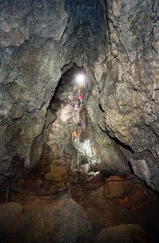 Vatnshellir Lava Cave Tourfrom 5.900 ISK · 50 min
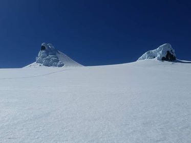 Snæfellsjökull Glacier Snow-cat Tourfrom 18.000 ISK · 3 h
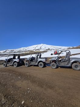 Buggy tours around Snæfellsjökull. 1 hour tourfrom 17.900 ISK · 1 h
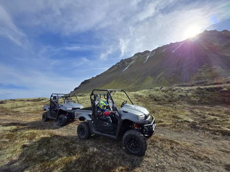 Buggy tours around Snæfellsjökull. 2 hour tourfrom 26.900 ISK · 2 h 30 min
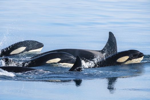 Whale Watching Ólafsvík - Snaefellsnesfrom 14.000 ISK · 3 h
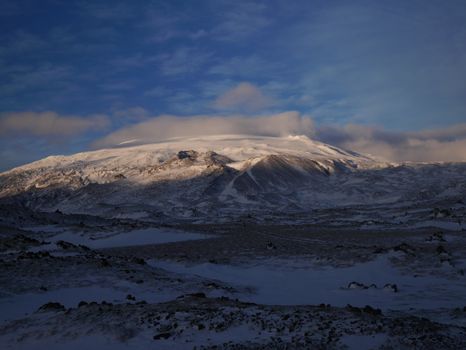 Snæfellsjökullfrom 59.900 ISK · 6 h
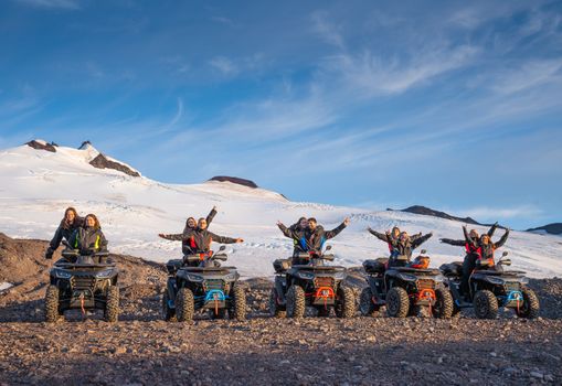 ATV Tour - Snæfellsjökull Glacier & Lava Fieldsfrom 19.900 ISK · 2 h
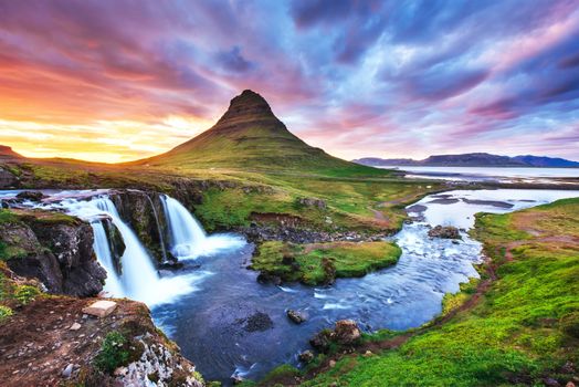 Snæfellsnes Peninsula Tour from Grundarfjordur Portfrom 26.240 ISK · 5 h
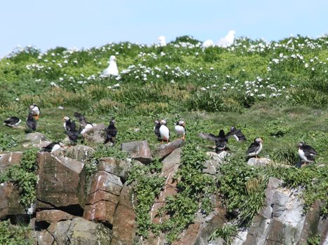 Puffin Tourfrom 8.500 ISK · 1 h 30 min
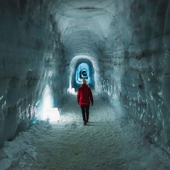 Into The Glacier - From Húsafellfrom 27.900 ISK · 4 h
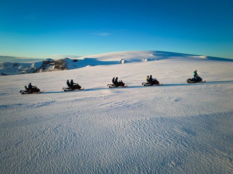 Snowmobile on Langjökull Glacier - Meet us in Husafellfrom 33.490 ISK · 2 h
 Golden Circle and Laugarás Lagoon Lerki Admissionfrom 23.039 ISK · 9 h 30 minAll 1,648 toursBy activity and region
Malarrif weather and conditions
Last updated
8°Covercast · feels 0°C11 m/sgusts 149 h 47 mdaylight · 08:27 – 18:14

Tonight
Northern lights forecast by region
In season now · Winter in IcelandInto The Glacier - From Húsafellfrom 27.900 ISK · 4 hAll 1,648 tours
Cars & campers
−12%exclusive discountFree cancellation KEF airport pickup 24/74.8
KEF airport pickup 24/74.8
 Transmission
 Fuel
Fuel Seats
Seats Drive
Drive

 Sleeps
Photos & videos
No verified videos yet — we only show footage confirmed to be Malarrif, no lookalikes. Search YouTube
Nearby
km column = your drive
- 1Svaða24 km
- 2Þrælaboði28 km
- 3Vallabæjarboði28 km
- 4Djúpiboði36 km
- 5Máfahnúksboði36 km

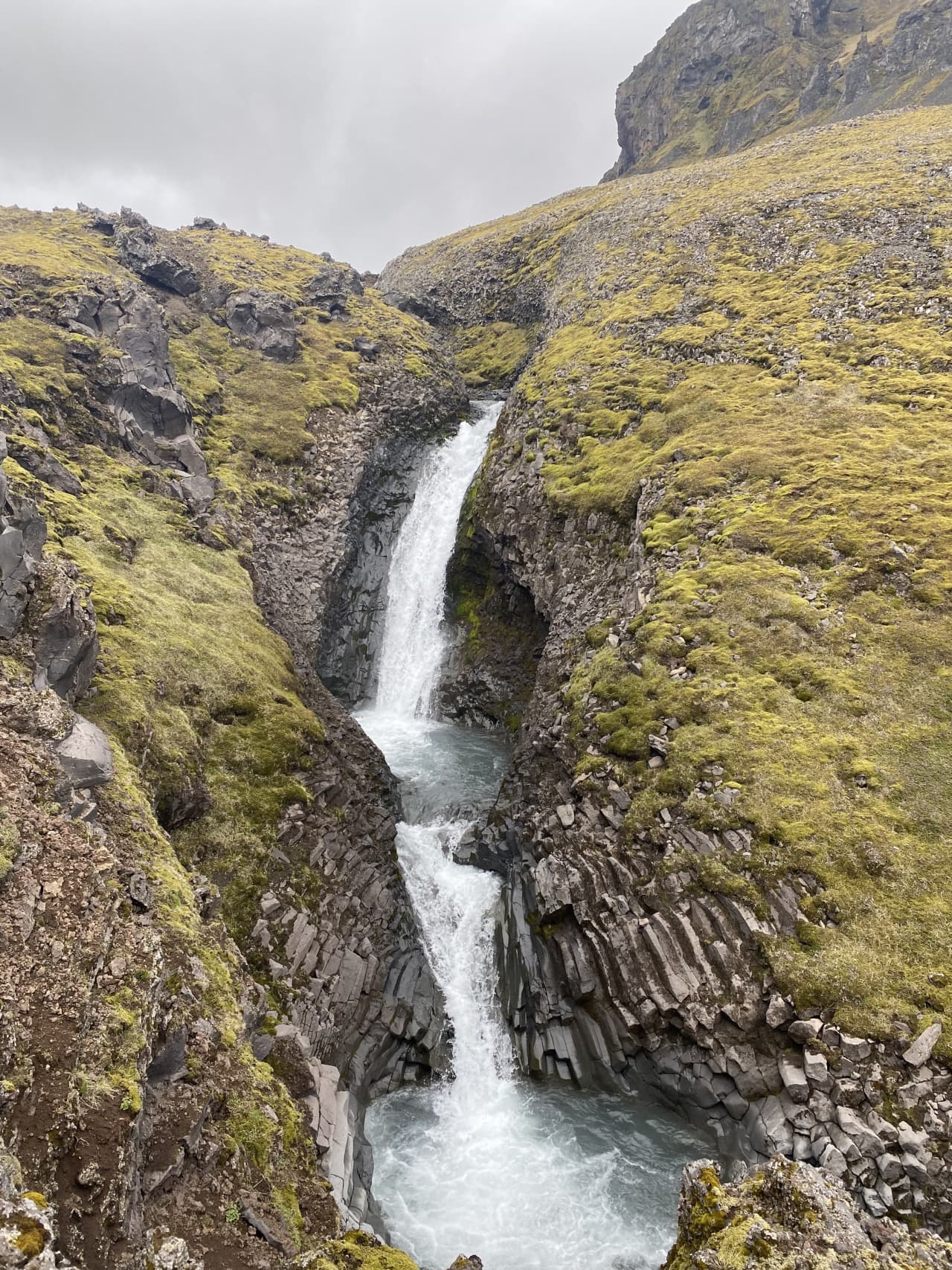
 Waterfalls

 Hot springs
- 1Geothermal hot spring near Snæfellsbær31 km
- 2Natural hot pot near Grundarfjarðarbær34 km
- 3Geothermal hot spring near Grundarfjarðarbær43 km

 Fuel
Fuel
- 1
 Arnarstapi10 km · 308.7 kr/L
 - 2
 Ólafsvík19 km · 310.9 kr/L
 - 3Hellissandur21 km · 310.9 kr/L
 Supermarkets


 Tours
Tours
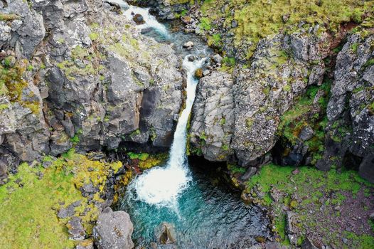 Day Trek to Akrafjall: The Troll's Mountainfrom 17.656 ISK · 6 hours 30 minutes
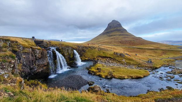 From Grundarfjörður Port: Private Snaefellsness Tourfrom 269.900 ISK · 8 hours
 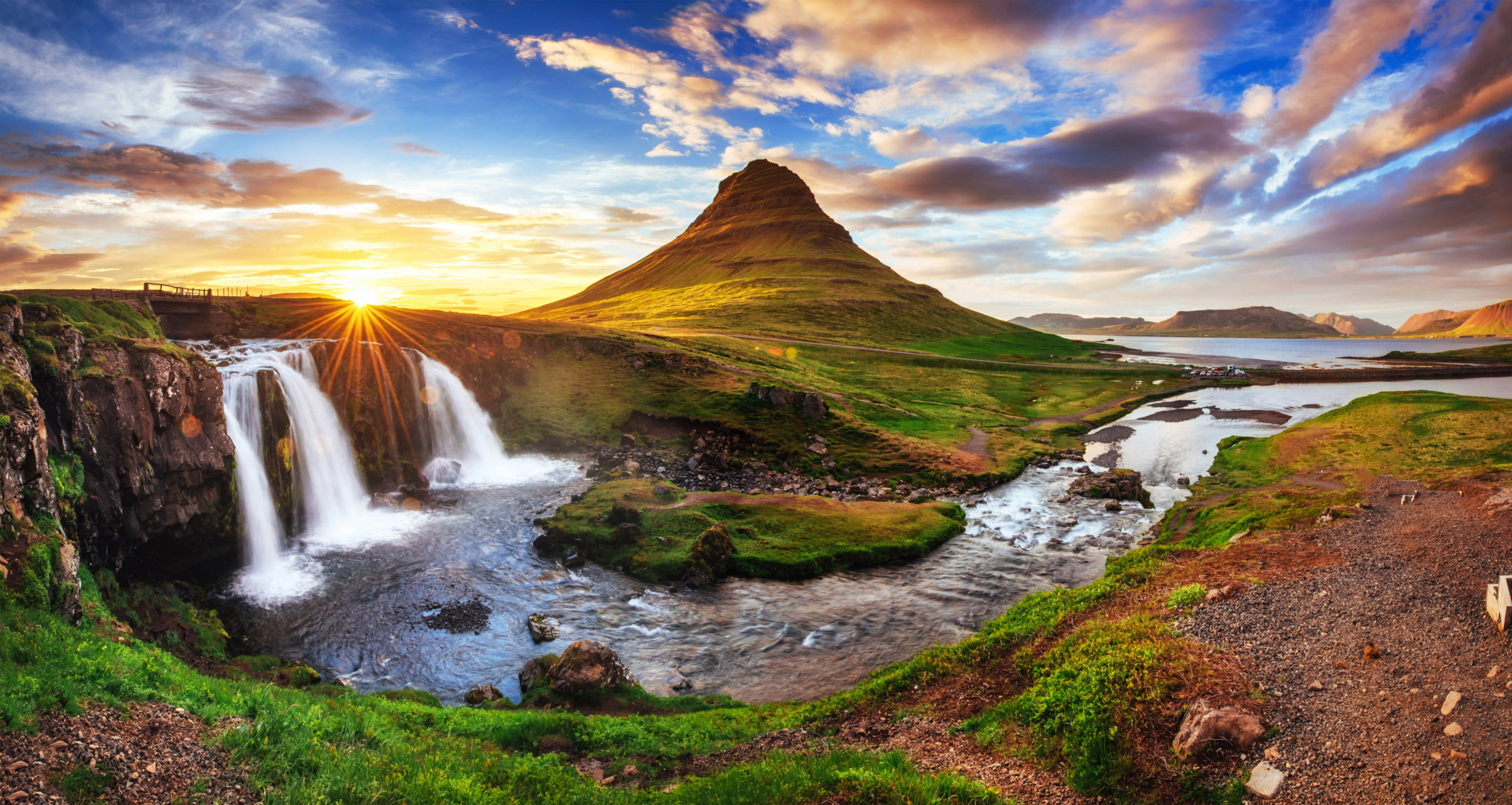 Grundarfjörður Cruise Tour: Snæfellsnes Peninsula from the portfrom 24.500 ISK · 5 hours 30 minutes
Frequently
asked
questions
How do I get to Malarrif?
Malarrif is in West Iceland. Most Icelandic islands are reached only by boat — a scheduled ferry where one exists, otherwise a private or chartered vessel. Crossings depend on the weather and are cancelled in rough seas, so check the marine forecast and never assume you can leave on schedule.
Can I visit Malarrif?
It depends on access and protection status. Some Icelandic islands are open by ferry or summer boat tour; many are uninhabited seabird colonies where landing is restricted during the nesting season. Where visits are allowed, go with a licensed operator and keep your distance from nesting birds.
When is the best time to visit Malarrif?
Summer (June to August) is when ferries and boat tours run their full schedules, seas are calmer and seabird colonies are active. Many operators do not run in winter, so plan an island visit for the warmer months and book ahead in peak season.
Is Malarrif inhabited?
Most of Iceland's islands are uninhabited, with no facilities, shelter or scheduled transport — Heimaey in the Westman Islands is the notable exception. Treat any small island as a place with no services: bring supplies, tell someone your plan and allow flexibility for the weather.
Data & sources
Everything on this page comes from the sources below. Live feeds refresh automatically.
 Wikimedia CommonsHero & gallery photography · Richard Bartz · Wikimedia Commons · CC BY-SA 3.0
 VegagerðinVisitor access & practical facts
 VegagerðinLive road status & cameras · Icelandic Road Administration
 Open-MeteoWeather forecast · CC BY 4.0
 NOAA SWPCAurora (planetary Kp) forecast · public domain
 OpenStreetMapInteractive-map data · ODbL
 Esri, Maxar & Earthstar GeographicsSatellite imagery for the 3D terrain render · GIS User Community
Spotted an error, or have something to add? Help us keep this page accurate.
Iceland nowfrom 19 Sep 06:10