





 Road
Road  Weather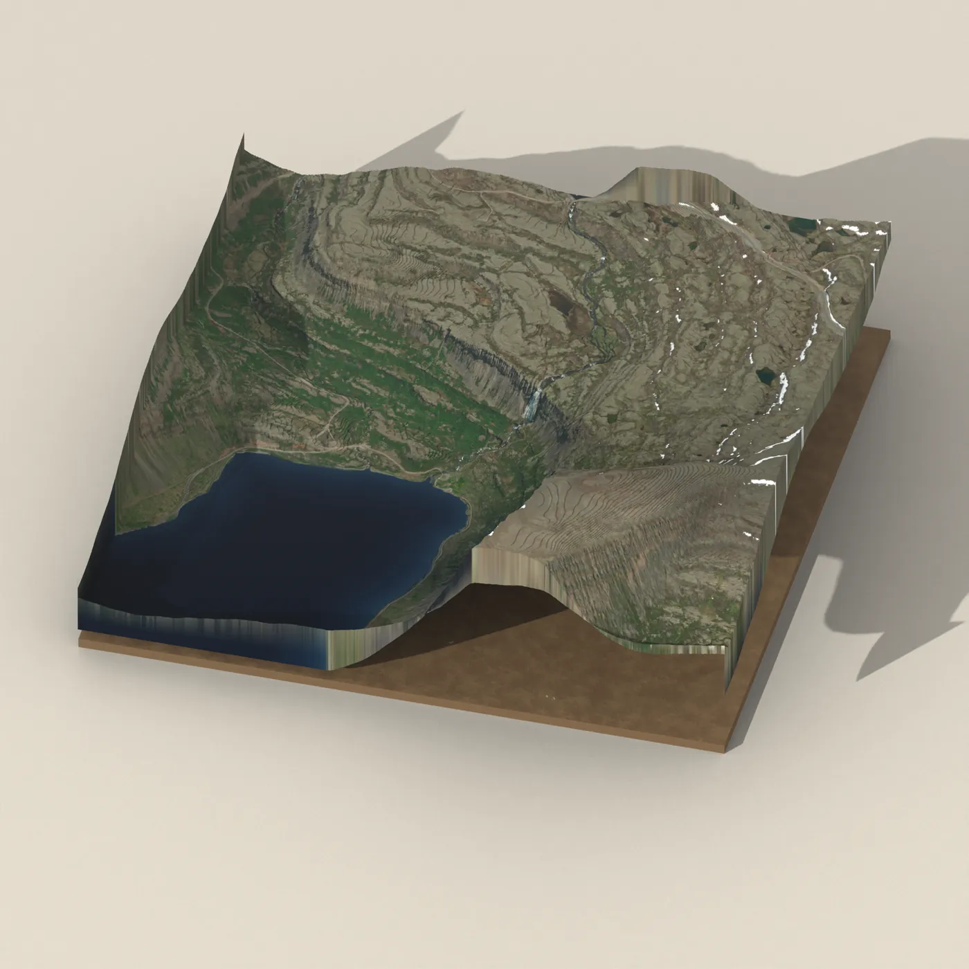


About
Dynjandislaug is a hot spring with a natural water temperature of about 25°C in the Westfjords of Iceland.
OpenStreetMap's map data puts the temperature at about 25°C — mild by hot-spring standards, so don't expect a scorching soak.
There's nothing quite like soaking in geothermal water surrounded by Icelandic landscape. Time slows down.
Bring a towel and change of clothes. Changing facilities at natural springs range from 'basic hut' to 'behind that rock over there.'
Map of Dynjandislaug
65.7347°N, 23.2073°W · Westfjords
Tours near Dynjandislaug
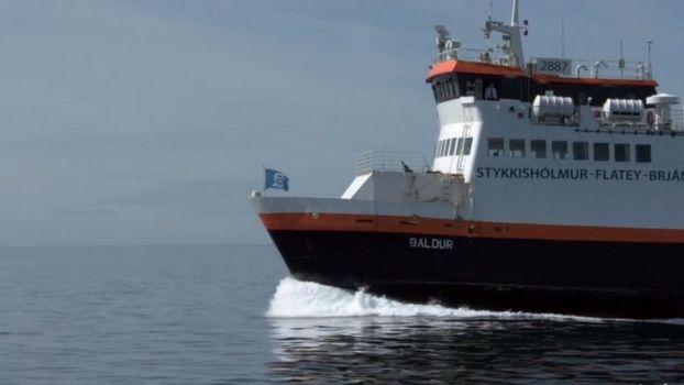 Brjánslækur - Flateyfrom 3.560 ISK · 1 h
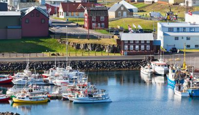 Brjánslækur - Flatey - Stykkishólmurfrom 6.300 ISK · 2 h 30 min
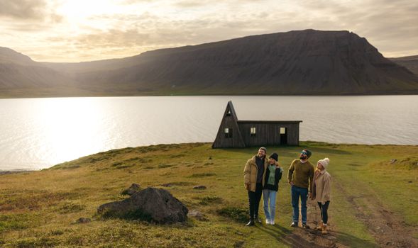 Avoid the crowdsfrom 60.000 ISK · 6 h
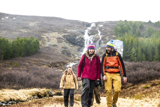 Choose your lake. Ride that wake.from 60.000 ISK · 7 h
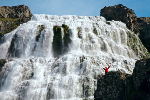 Sightseeing and water sports experience in Westfjords visiting Dynjandi waterfallfrom 60.000 ISK · 7 h
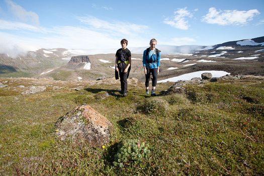 Hornstrandir Panoramafrom 63.100 ISK · 10 h
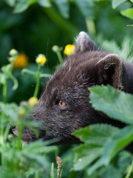 Wildlife and Arctic Foxesfrom 63.100 ISK · 10 h
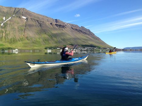 Bike and Kayak Combofrom 27.900 ISK · 7 h
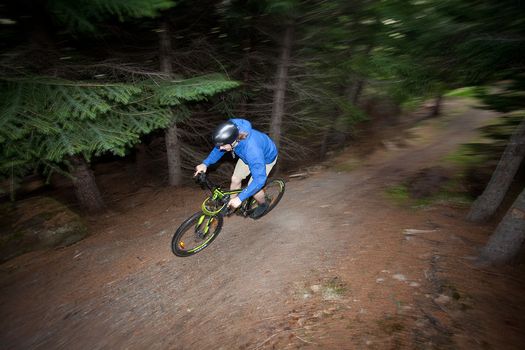 Around the Wallsfrom 16.500 ISK · 2 h 30 min
 Blue Ice - Glacier Hike & Ice Climbing from Reykjavíkfrom 32.990 ISK · 13 h 30 min
 Golden Circle and Laugarás Lagoon Lerki Admissionfrom 23.039 ISK · 9 h 30 min
 Spirit of the Aurora (28 person max vehicle)from 14.990 ISK · 5 hAll 1,648 toursBy activity and region
Dynjandislaug weather and conditions
Last updated

Cars & campers
 KEF airport pickup 24/74.8
 Transmission
 Fuel
Fuel Seats
Seats Drive
Drive

 Sleeps
Photos & videos

No photos or videos yet
Been to Dynjandislaug? Help other travellers — add the first photo or video.
 Search YouTube
Nearby
km column = your drive
- 1
.jpg?width=1280) Reykjafjarðarlaug17 km
Reykjafjarðarlaug17 km - 2
Hellulaug18 km
- 3Geothermal hot spring near Vesturbyggð19 km
- 4Galtahryggjarlaug27 km
- 5Geothermal hot spring near Súðavíkurhreppur27 km

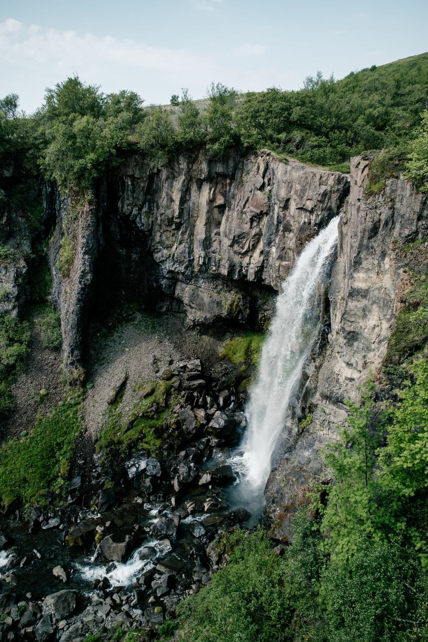
 Waterfalls
 Fuel
Fuel
- 1
 Flókalundur18 km · 310.9 kr/L
 - 2Bíldudalur19 km · 308.6 kr/L
- 3Þingeyri20 km · 310.9 kr/L
 Supermarkets


 Tours
Tours
- Avoid the crowdsfrom 60.000 ISK · 6 hours
- Bike and Kayak Combofrom 27.900 ISK · 7 hours
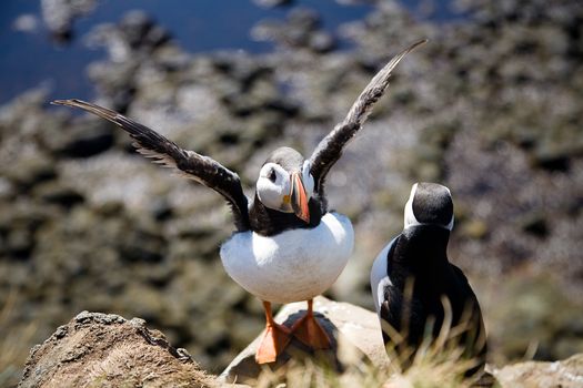 BIRD CLIFFS & BEAUTIFUL BEACHES - bikingfrom 36.800 ISK · 9 hours
Frequently
asked
questions
How do I get to Dynjandislaug?
Is Dynjandislaug free to visit?
What is the best time to visit Dynjandislaug?
Data & sources
Everything on this page comes from the sources below. Live feeds refresh automatically.
 OpenStreetMapWater temperature · ODbL
 VegagerðinLive road status & cameras · Icelandic Road Administration
 Open-MeteoWeather forecast · CC BY 4.0
 NOAA SWPCAurora (planetary Kp) forecast · public domain
 OpenStreetMapInteractive-map data · ODbL
 Esri, Maxar & Earthstar GeographicsSatellite imagery for the 3D terrain render · GIS User Community
Spotted an error, or have something to add? Help us keep this page accurate.