
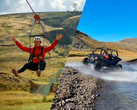
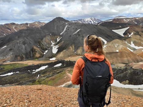

 Road
 Weather


Map of Snæfell
Map
64.7972°N, 15.5755°W · East Iceland
Plan your visit
 Off the main road
- 45.8 km from Route 95
 Nearest town
- Nesjahverfi — 56.3 km away
 Distance from Reykjavík
- 313 km in a straight line
 What else is close
- 73 mapped places within 20 km
Tours that include Snæfell
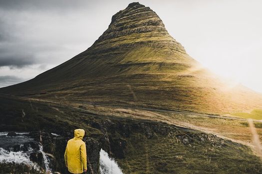 Snæfellsnes in Spanish with lunch included at a farm by minibusfrom 28.990 ISK · 12 h
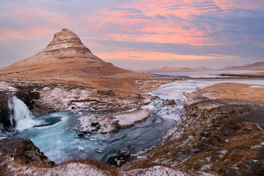 Snæfellsnes Peninsula and Kirkjufell Small Group Tourfrom 18.990 ISK · 11 h
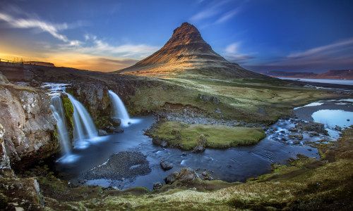 The mysterious Snæfellsnes National Park | Small Group Day Tourfrom 18.900 ISK · 11 h
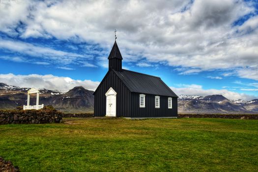 Snæfellsnes Peninsula Small Group Tourfrom 19.490 ISK · 11 h
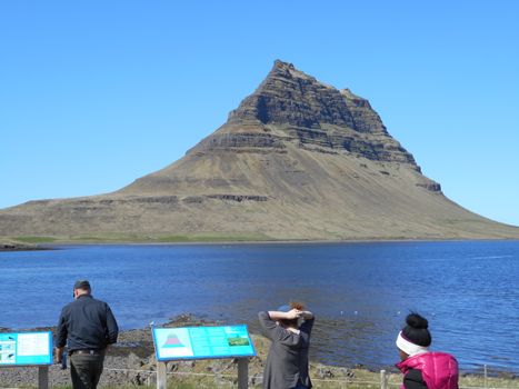 Snæfellsnes Peninsulafrom 59.900 ISK · 9 h 30 min
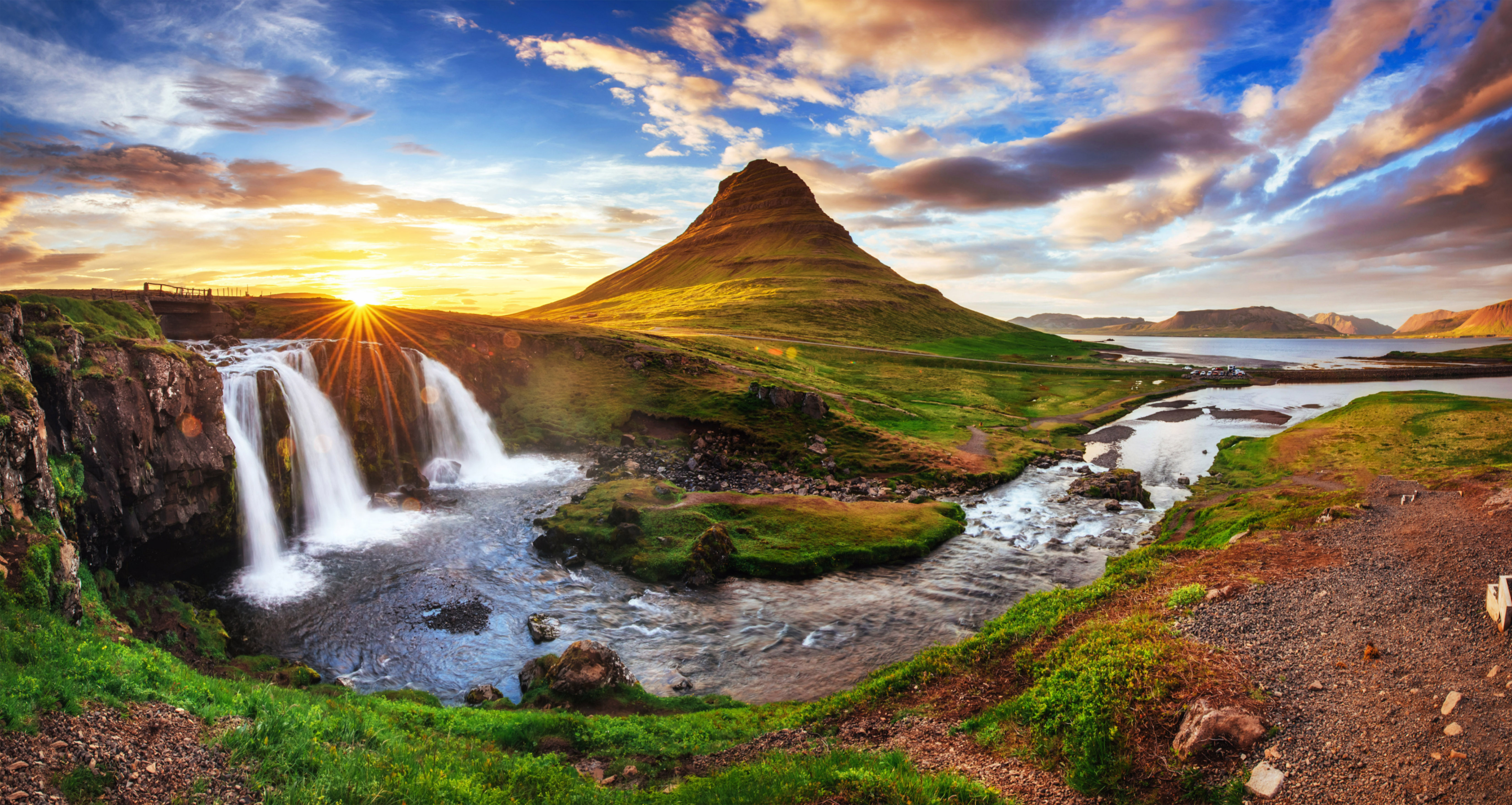 Grundarfjörður Cruise Tour: Snæfellsnes Peninsula from the portfrom 24.500 ISK · 5 h 30 min
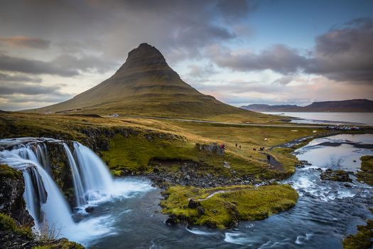 Snæfellsnes Peninsula Tourfrom 17.490 ISK · 11 h
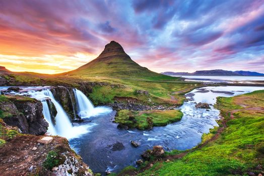 Snæfellsnes Peninsula Tour from Grundarfjordur Portfrom 26.240 ISK · 5 h
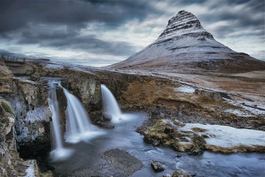 Snaefellsnes Peninsula Minibus Tourfrom 17.561 ISK · 12 h
 Northern Lights Chase from Glacier Lagoonfrom 25.000 ISK · 5 h
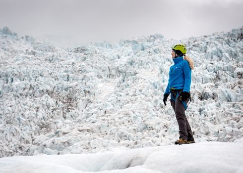 Skaftafell 3 hours Easy Level Glacier Hikefrom 14.613 ISK · 3 h
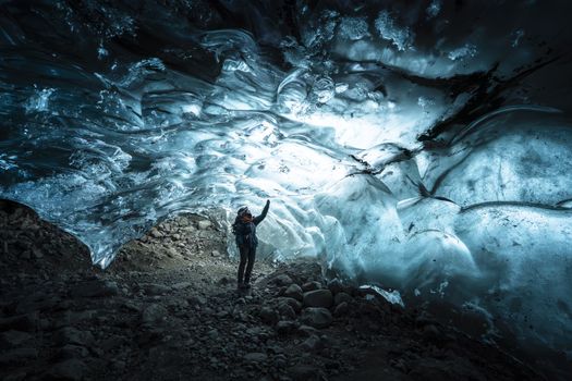 Ice Cave Discoveryfrom 34.900 ISK · 6 hAll 1,631 toursBy activity and region
Snæfell weather and conditions
Last updated
-4°Cfog · feels -9°C4 m/swind8 h 39 mdaylight · 08:26 – 17:06

Tonight
Northern lights forecast by region
In season now · Winter in IcelandNorthern Lights Chase from Glacier Lagoonfrom 25.000 ISK · 5 hAll 1,631 tours
Cars & campers
−12%exclusive discountFree cancellation KEF airport pickup 24/74.8
 Transmission
 Fuel
 Seats
 Drive


 Sleeps
Photos & videos
No verified videos yet — we only show footage confirmed to be Snæfell, no lookalikes. Search YouTube
Nearby
 Waterfalls

 Hot springs


 Fuel
- 1Hallormsstaður51 km · 308.6 kr/L
- 2
 Nesjar56 km · 310.9 kr/L
- 3Skjöldólfsstaðir62 km · 308.6 kr/L
 Supermarkets


 Tours
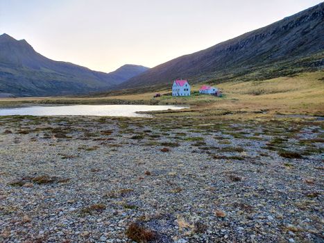 Abandoned Fjords Super Jeep Tourfrom 42.000 ISK · 5 hours
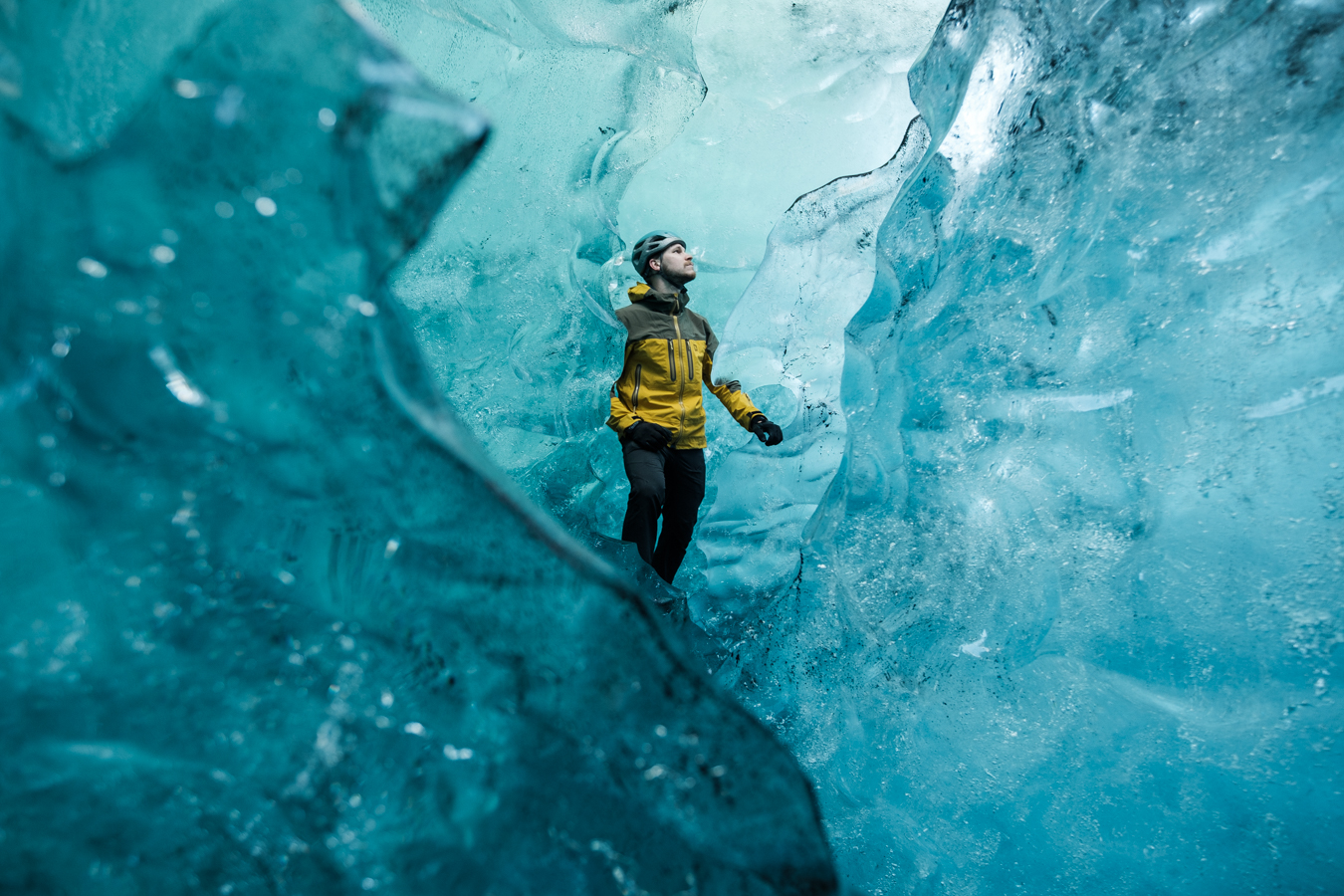 Blue Ice Discoveryfrom 24.900 ISK · 4 hours
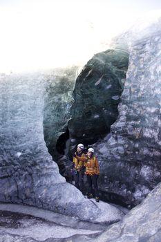 Breidamerkurjökull Glacier Hikefrom 15.491 ISK · 3 hours
Frequently
asked
questions
Is it safe to visit Snæfell?
Snæfell is an active volcanic system, so safety depends on the current status. Before you go, check safetravel.is (travel alerts), the Icelandic Met Office at vedur.is (seismic and eruption monitoring) and Almannavarnir (Civil Protection). Never approach an erupting or restricted area on your own, and follow any marked routes and perimeters exactly.
How do I get to Snæfell?
Snæfell is in East Iceland. Check live road conditions on this page before you drive — many volcanic centres sit in the highlands and need a 4×4 and an F-road that only opens in summer. Road status is at road.is.
Do I need a guide for Snæfell?
Any summit attempt or glacier-capped route on Snæfell needs proper gear and, in most cases, a certified guide. Some viewpoints are reachable from the road without one, but always tell someone your plan, check the forecast, and turn back if conditions change.
Has Snæfell erupted recently?
Iceland’s volcanoes are monitored continuously by the Icelandic Met Office. For the current eruption status and history of Snæfell, check vedur.is — treat any online summary, including this page, as background, not a live hazard reading.
Data & sources
Everything on this page comes from the sources below. Live feeds refresh automatically.
 Wikimedia CommonsHero & gallery photography · Rémih · Wikimedia Commons · CC BY-SA 4.0
 VegagerðinVisitor access & practical facts
 VegagerðinLive road status & cameras · Icelandic Road Administration
 Open-MeteoWeather forecast · CC BY 4.0
 NOAA SWPCAurora (planetary Kp) forecast · public domain
 OpenStreetMapInteractive-map data · ODbL
 Esri, Maxar & Earthstar GeographicsSatellite imagery for the 3D terrain render · GIS User Community
Spotted an error, or have something to add? Help us keep this page accurate.
Iceland nowfrom 19 Sep 06:10