



 Road
Road  Weather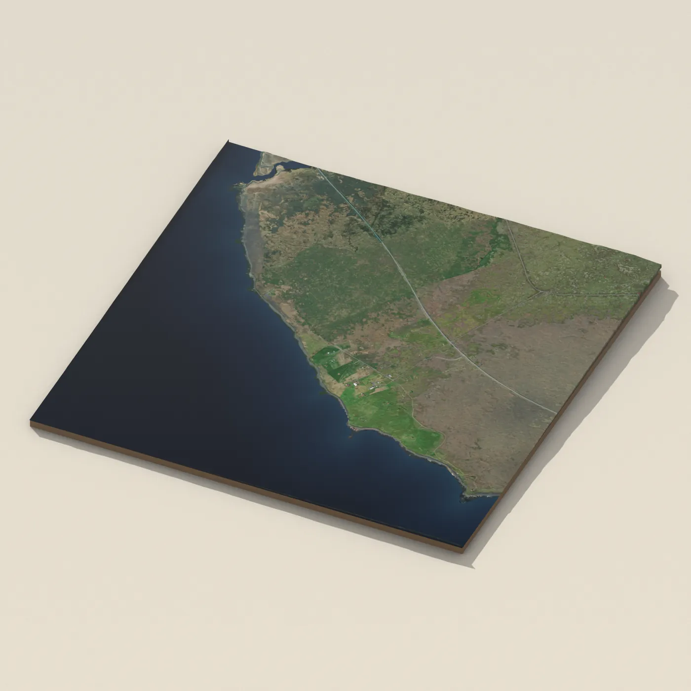
No photo of T-bær yet — be the first to add one


Map of T-bær
Map
63.8328°N, 21.6876°W · West Iceland
Tours near T-bær
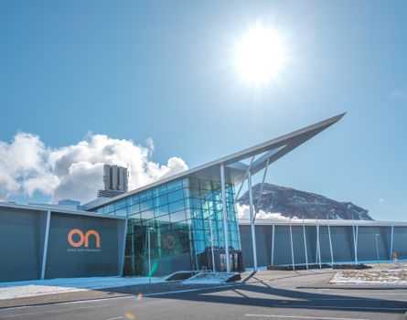 Geothermal Exhibition: Self-Guided Audio Tour and Entry Ticketfrom 2.650 ISK · 1 h
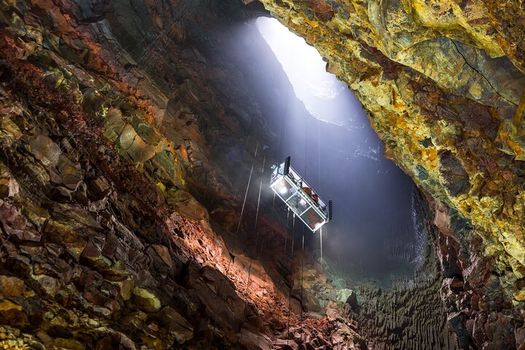 Inside The Volcano Hiking Tour with Pickup from Reykjavíkfrom 55.500 ISK · 6 h
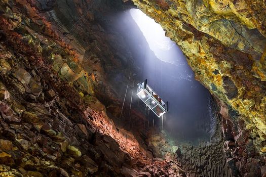 Inside The Volcano Hiking Tour - Self-drivefrom 51.000 ISK · 4 h
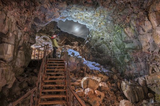 Evening Lava Tunnel Tourfrom 8.900 ISK · 1 h
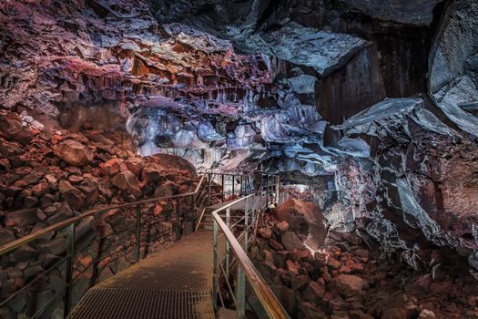 Standard Lava Tunnel Tourfrom 8.900 ISK · 1 h
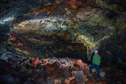 The Lava Falls Adventure tourfrom 27.900 ISK · 3 h
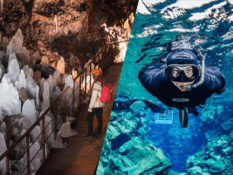 Black & Blue - Lava Tunnel + Silfra Snorkelingfrom 23.990 ISK · 5 h
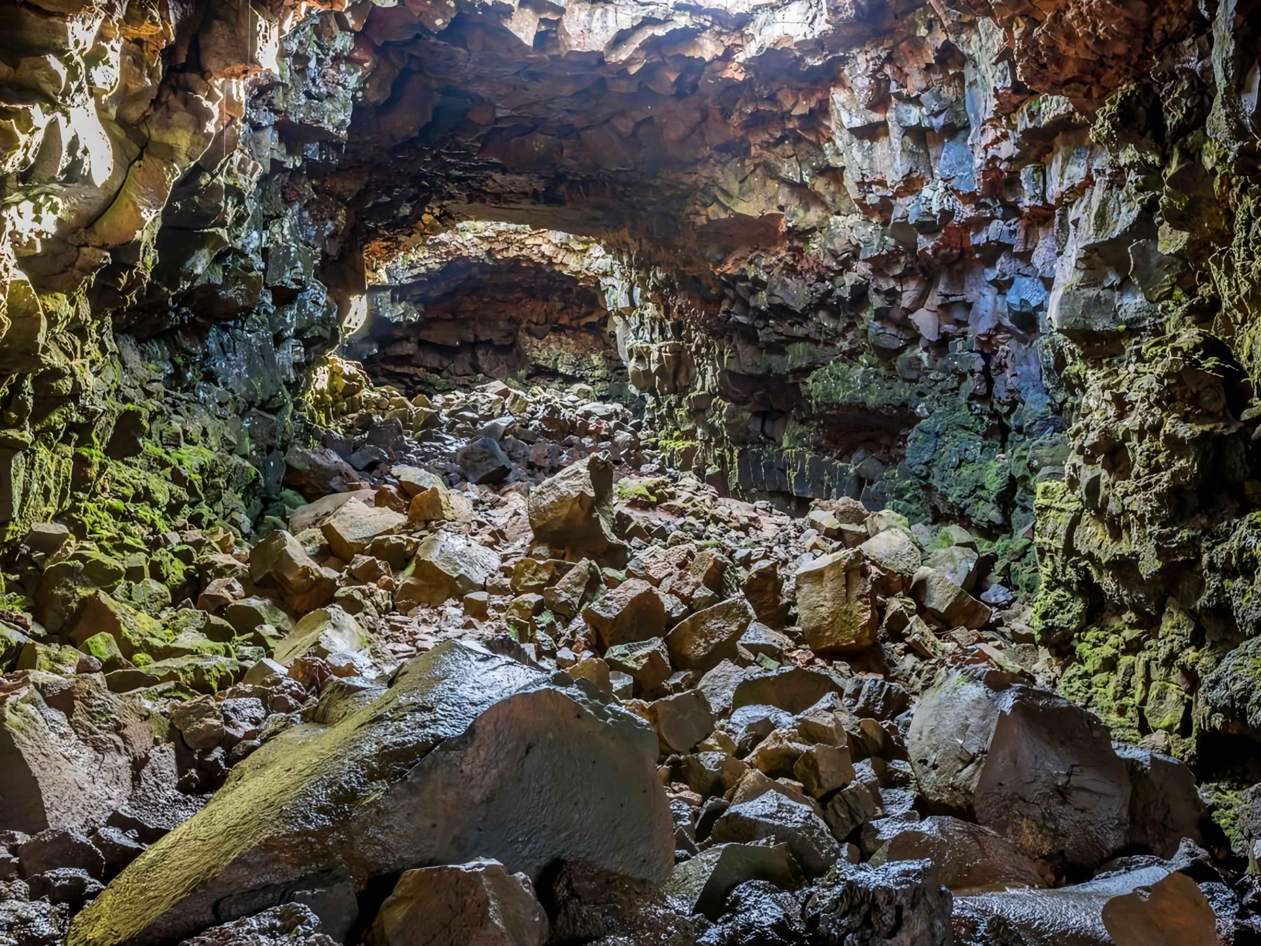 Lava Tunnel Tour (Back to Back)from 8.475 ISK · 3 h
 Geothermal Sprint Through Krýsuvíkfrom 55.500 ISK · 3 h
 Into The Glacier - From Húsafellfrom 27.900 ISK · 4 h
 Snowmobile on Langjökull Glacier - Meet us in Husafellfrom 33.490 ISK · 2 h
 Golden Circle and Laugarás Lagoon Lerki Admissionfrom 23.039 ISK · 9 h 30 minAll 1,648 toursBy activity and region
T-bær weather and conditions
Last updated
9°Clight drizzle · feels 3°C10 m/sgusts 199 h 53 mdaylight · 08:16 – 18:09
Prices
Published rates
This campsite hasn’t published a rate card — expect standard per-person nightly fees and check locally before you pitch.

Tonight
Northern lights forecast by region
In season now · Winter in IcelandInto The Glacier - From Húsafellfrom 27.900 ISK · 4 hAll 1,648 tours
Cars & campers
−12%exclusive discountFree cancellation KEF airport pickup 24/74.8
KEF airport pickup 24/74.8
 Transmission
 Fuel
Fuel Seats
Seats Drive
Drive

 Sleeps
Photos & videos

No photos or videos yet
Been to T-bær? Help other travellers — add the first photo or video.
 Search YouTube
Nearby
km column = your drive
- 1Gata Free Camping1 km
- 2
 Hjalli53 km
 - 3
Akranes58 km
- 4
Stóri – Lambhagi 462 km
- 5Stóri-Lambhagi 4 Tjaldsvæði62 km

 Waterfalls
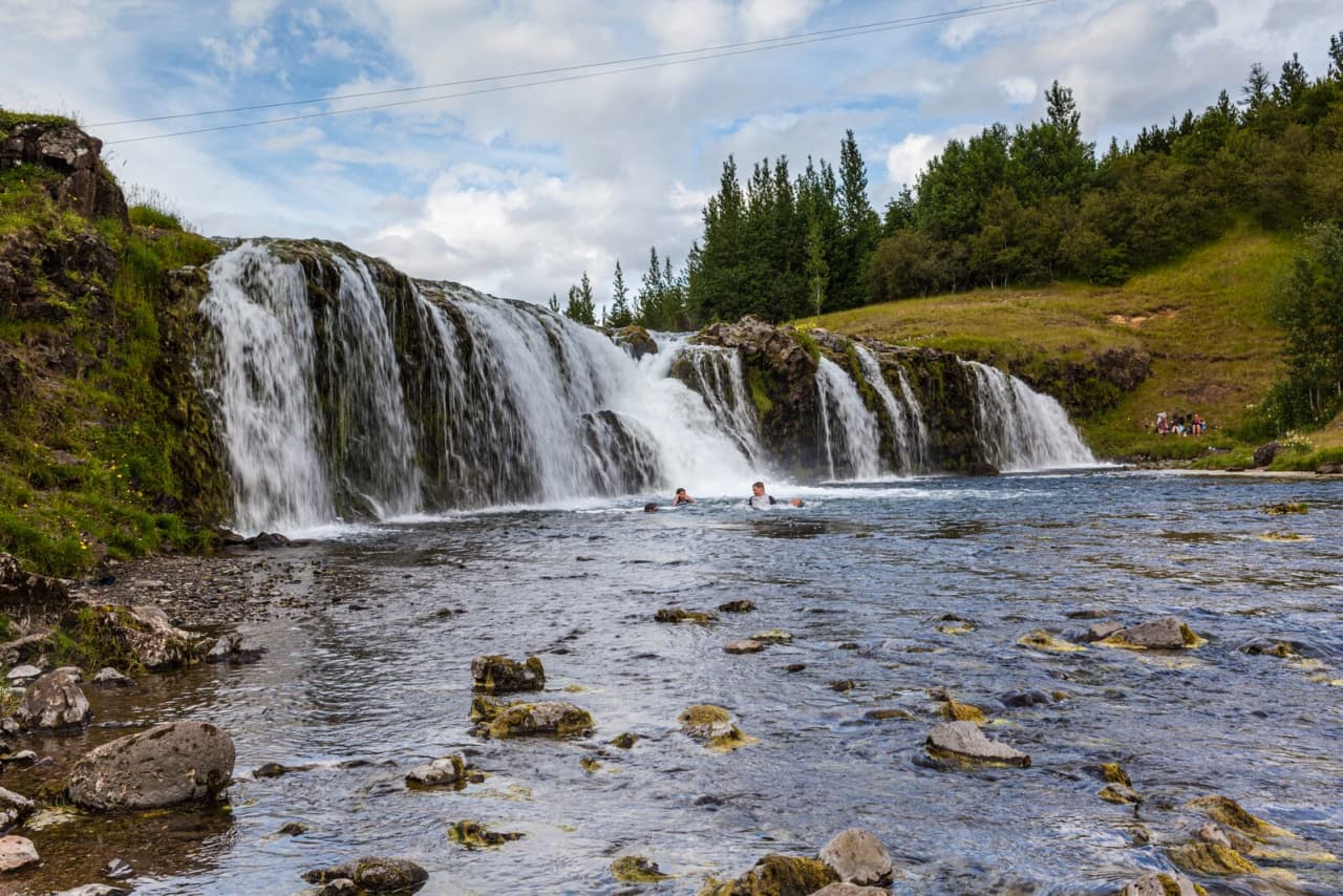
 Hot springs
- 1Geothermal hot spring near Þorlákshöfn15 km
- 2
 Geothermal hot spring near Hafnarfjarðarkaupstaður19 km
 - 3Geothermal hot spring near Ölfus25 km

 Fuel
Fuel
- 1Þorlákshöfn15 km · 308.6 kr/L
- 2
 Eyrarbakki27 km · 308.7 kr/L
 - 3Einhella27 km · 279.7 kr/L
 Supermarkets


 Tours
Tours
 Day Trek to Akrafjall: The Troll's Mountainfrom 17.656 ISK · 6 hours 30 minutes
 From Grundarfjörður Port: Private Snaefellsness Tourfrom 269.900 ISK · 8 hours
 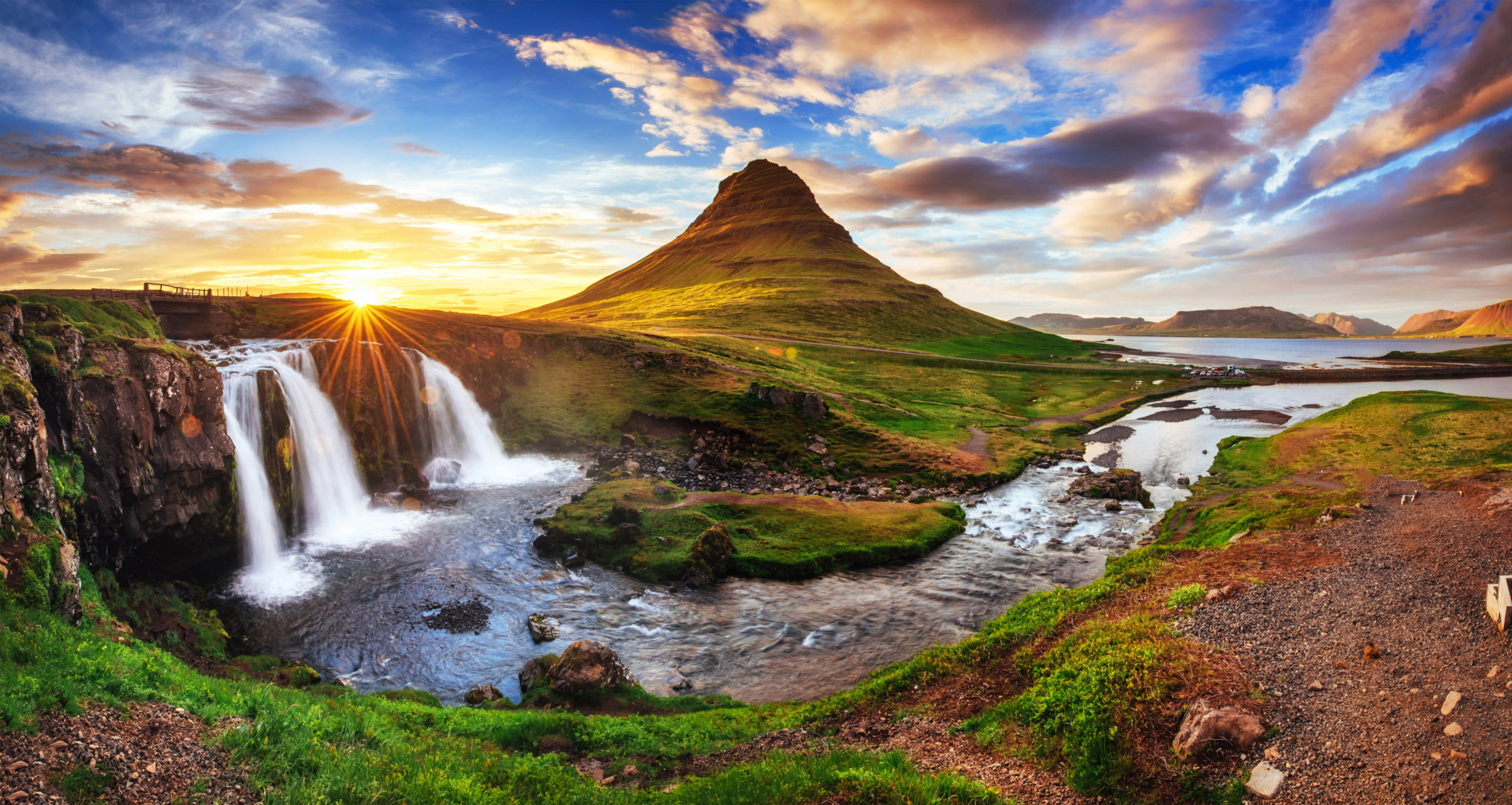 Grundarfjörður Cruise Tour: Snæfellsnes Peninsula from the portfrom 24.500 ISK · 5 hours 30 minutes
Frequently
asked
questions
Can I wild camp near T-bær instead?
No. Sleeping in a car, van or camper outside a designated campsite has been illegal in Iceland since 2015 — use a mapped site like this one.
Do I need to book T-bær in advance?
T-bær is first-come, first-served — no advance booking. Arrive earlier in the day during July and August, when Icelandic campsites fill up fast.
When is T-bær open?
Most Icelandic campsites open June through August or September. Confirm directly with T-bær for exact dates, especially outside peak summer.
What facilities does T-bær have?
Facility details for T-bær aren't fully documented yet — contact the site directly or check on arrival. Basic Icelandic campsites typically have at least a toilet block.
Data & sources
Everything on this page comes from the sources below. Live feeds refresh automatically.
 VegagerðinLive road status & cameras · Icelandic Road Administration
 Open-MeteoWeather forecast · CC BY 4.0
 NOAA SWPCAurora (planetary Kp) forecast · public domain
 OpenStreetMapInteractive-map data · ODbL
 Esri, Maxar & Earthstar GeographicsSatellite imagery for the 3D terrain render · GIS User Community
Spotted an error, or have something to add? Help us keep this page accurate.
Iceland nowfrom 19 Sep 06:10