




 Road
Road  Weather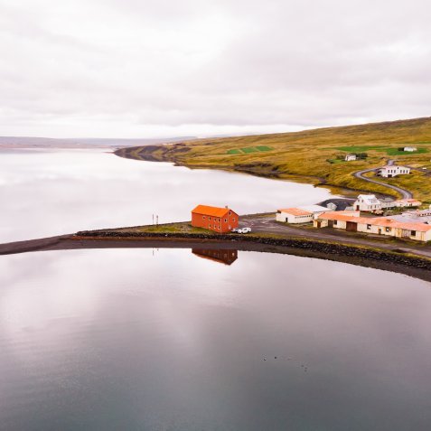


About
Borðeyri sits by Hrútafjörður in North Iceland, on the edge of one of the country's smallest villages. The seaside campsite has windbreaks against the northern wind, a service house, and a football pitch and playground nearby. Watch for seals in the fjord. Open May to September, drop-in.
Borðeyri is tiny — one of Iceland's smallest villages — but the setting on Hrútafjörður earns the stop. The campsite is flat, with windbreaks holding off the northern wind, and it sits right by the sea. An early-morning or late-night walk along the shore, when the fjord goes still, is the thing to do. There's wildlife to watch for: varied birdlife and seals in the fjord, and the sunsets can be worth staying up for. The village itself has a surprising amount of history, with old houses still standing and information signs to read as you wander. The service house has two toilets, dishwashing, hot and cold water, and electricity, and there's a football pitch and playground close by. The same operators run the Tangahús guesthouse a hundred metres off, and in summer the restored Riishús opens as a café and local market nearby.
Wild camping rules have tightened. Use designated campsites to stay on the right side of the law.
Map of Borðeyri
65.2085°N, 21.0994°W · West Iceland
Plan your visit
 Season
- May to september
 Walk-ins
- Accepted — first-come, first-served
 Advance booking
- Not offered
 Getting there
- Road 68 (Borðeyri)
 Off the main road
- 0.1 km from Route 68
 Nearest town
- Laugarbakki — 17.2 km away
 Distance from Reykjavík
- 125 km in a straight line
 What else is close
- 45 mapped places within 20 km
Tours near Borðeyri
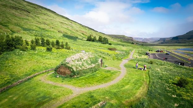 Experience the Settlement Period Farm of Eirik the Red and Leif Eirikssonfrom 2.900 ISK · 1 h
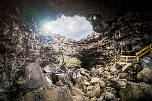 Cave Explorerfrom 9.000 ISK · 1 h 30 min
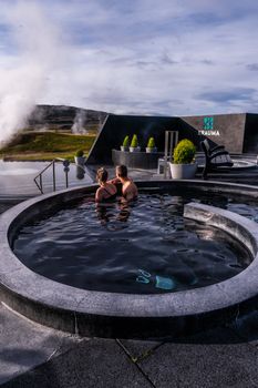 Krauma nature baths - Admission feefrom 7.900 ISK · 1 h
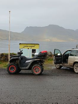 3 Hour Djúpuvík Adventure - ATVfrom 39.000 ISK · 3 h 30 min
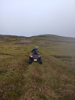 1 Hour Drangsnes Adventure - ATVfrom 18.000 ISK · 1 h 30 min
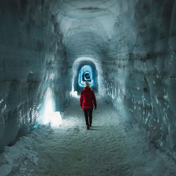 Into The Glacier - From Húsafellfrom 27.900 ISK · 4 h
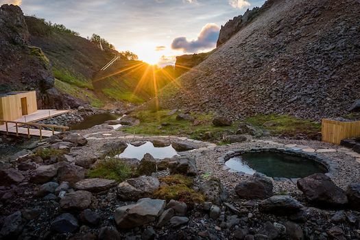 Husafell Canyon Bathsfrom 10.900 ISK · 1 h 45 min
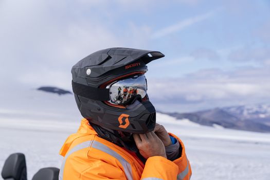 Into The Glacier - With Snowmobiling From Húsafellfrom 36.900 ISK · 4 h 30 min
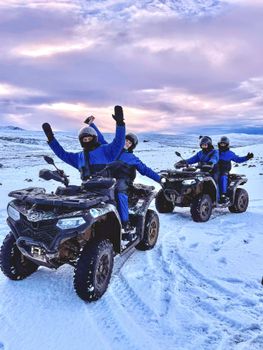 ATV Quad Adventure in Húsafell: Rivers & Mountain Viewsfrom 17.990 ISK · 1 hInto The Glacier - From Húsafellfrom 27.900 ISK · 4 h
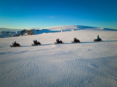 Snowmobile on Langjökull Glacier - Meet us in Husafellfrom 33.490 ISK · 2 h
 Golden Circle and Laugarás Lagoon Lerki Admissionfrom 23.039 ISK · 9 h 30 minAll 1,648 toursBy activity and region
Amenities
 Electricity
 Shower
 Cold water
 Hot water
 Toilets
 Dishwashing facilities
 Walking paths
 Playground
 Food service
Facilities listed by tjalda.is
Borðeyri weather and conditions
Last updated
- Adults
- 2,000 ISK
- Children
- Free
- Electricity
- 1,000 ISK
- Lodging tax: included
- Shower included
Rates via tjalda.is · retrieved 2026-07-17

Cars & campers
 KEF airport pickup 24/74.8
 Transmission
 Fuel
Fuel Seats
Seats Drive
Drive

 Sleeps
Photos & videos
Nearby
km column = your drive
- 1Camping Borðeyri< 1 km
- 2Saeberg Camping6 km
- 3
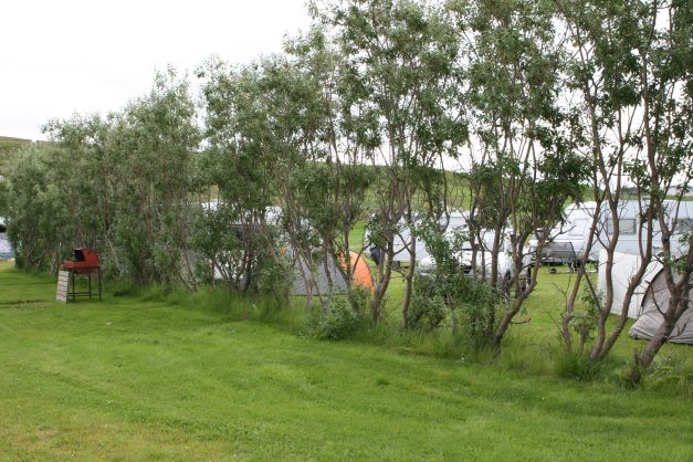 Langafit Laugarbakka16 km
 - 4
Kirkjuhvammur, Hvammstanga23 km
- 5
 Hvammstangi23 km

 Waterfalls
 Hot springs
- 1Geothermal hot spring near Húnaþing vestra5 km
- 2Natural hot pot near Húnaþing vestra6 km
- 3Natural hot pot near Dalabyggð33 km

 Fuel
Fuel
- 1
 Staðarskáli7 km · 310.9 kr/L
 - 2
 Laugarbakki16 km · 279.8 kr/L
 - 3Hvammstangi22 km · 308.6 kr/L
 Supermarkets
- 1Kaupfélag Vestur-Húnvetninga22 km
- 2Krambúð33 km
- 3Kaupfélag Steingrímsfjarðar56 km

 Tours
Tours
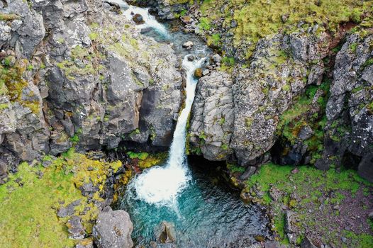 Day Trek to Akrafjall: The Troll's Mountainfrom 17.656 ISK · 6 hours 30 minutes
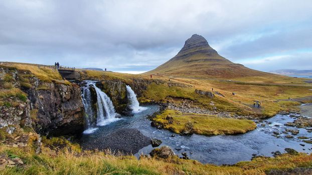 From Grundarfjörður Port: Private Snaefellsness Tourfrom 269.900 ISK · 8 hours
 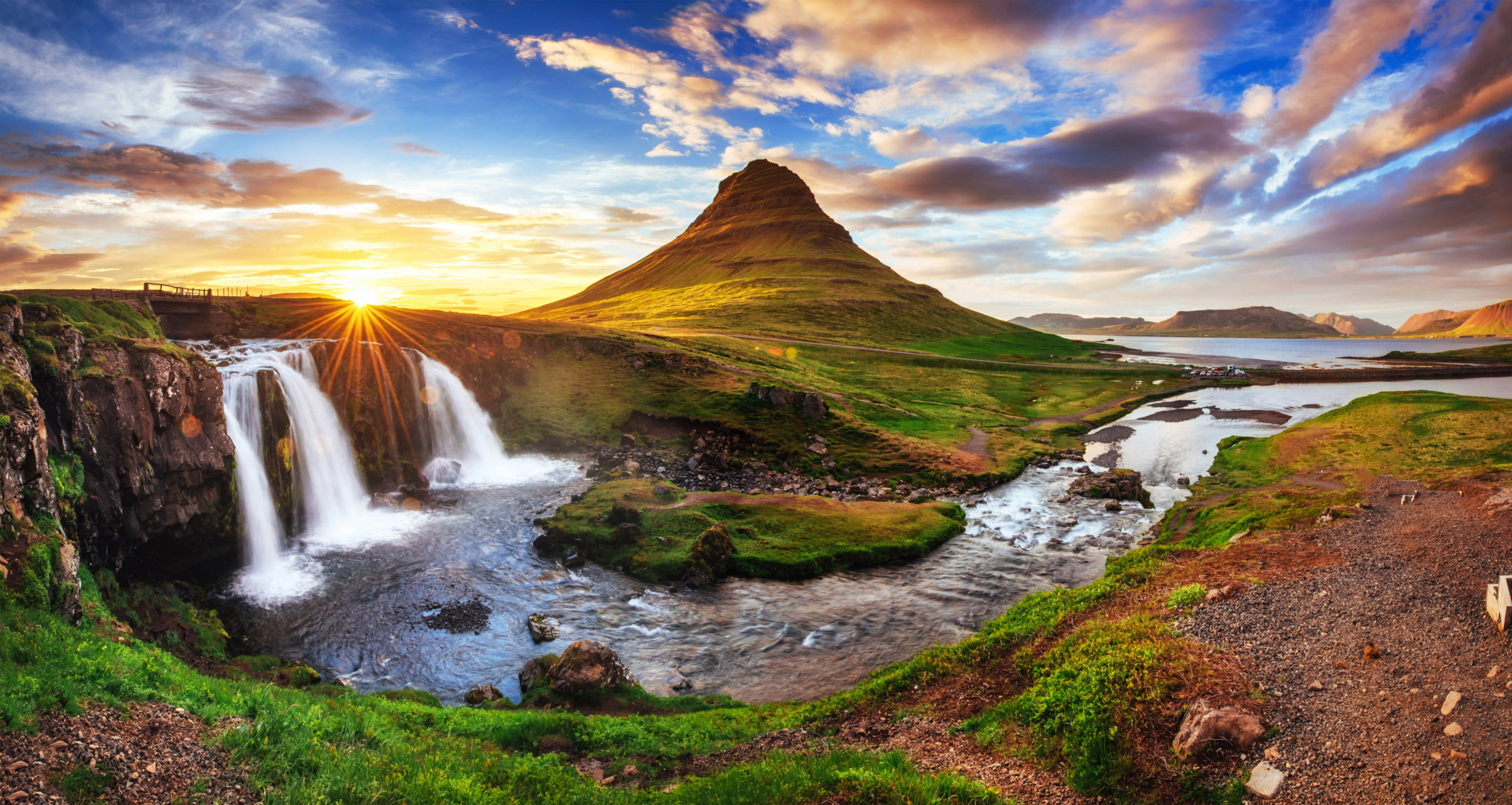 Grundarfjörður Cruise Tour: Snæfellsnes Peninsula from the portfrom 24.500 ISK · 5 hours 30 minutes
Frequently
asked
questions
Can I wild camp near Borðeyri instead?
Do I need to book Borðeyri in advance?
When is Borðeyri open?
What facilities does Borðeyri have?
Data & sources
Everything on this page comes from the sources below. Live feeds refresh automatically.
 PhotographyHero & gallery photography · Photo: tjalda.is
 tjalda.isCampsite facts · About text by Map of Iceland (claude-opus-4-8, 2026-07)
 VegagerðinLive road status & cameras · Icelandic Road Administration
 Open-MeteoWeather forecast · CC BY 4.0
 NOAA SWPCAurora (planetary Kp) forecast · public domain
 OpenStreetMapInteractive-map data · ODbL
 Esri, Maxar & Earthstar GeographicsSatellite imagery for the 3D terrain render · GIS User Community
Spotted an error, or have something to add? Help us keep this page accurate.