




 Road
Road  Weather


About
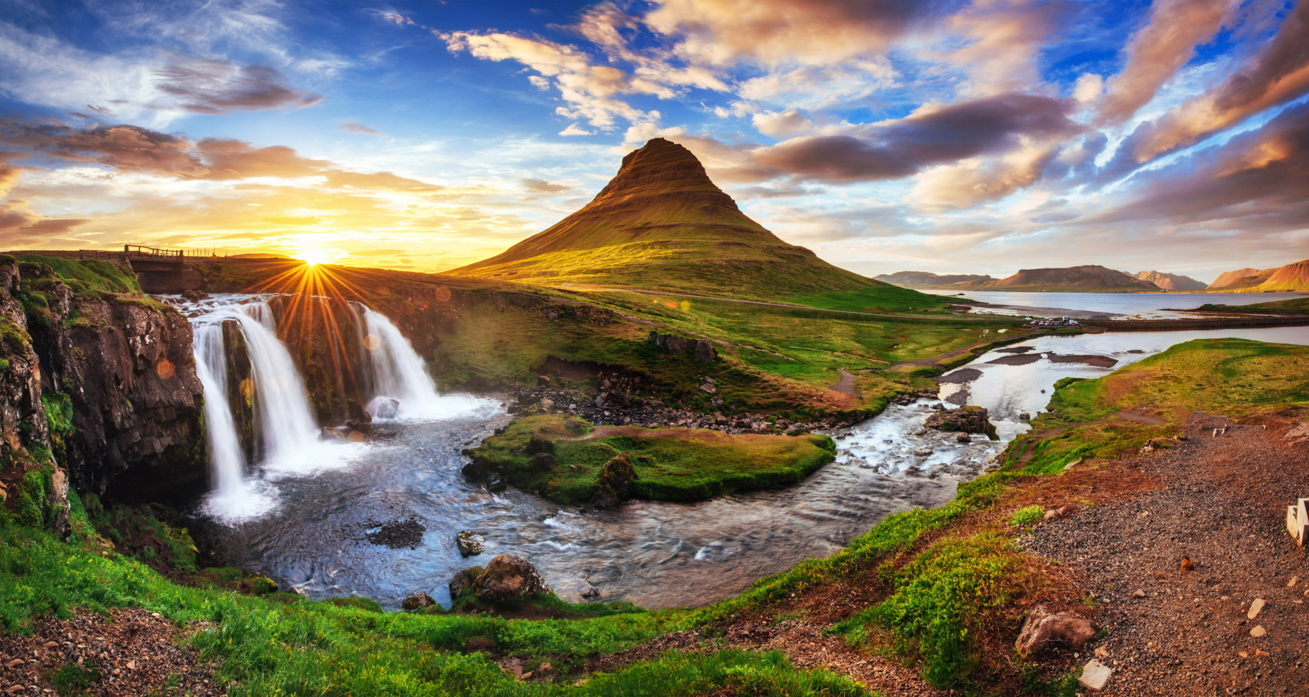
Skorhagafoss is a waterfall on the Brynjudalsá river in West Iceland.
It lies on the south coast of Hvalfjörður, on the river Brynjudalsá, which flows out of Lake Sandvatn. The waterfall is 4 metres high. The Hvalfjarðarvegur road crosses the river barely 500 m west of Skorhagafoss, and the waterfall is easy to overlook. Only 8 km away (as the crow flies), the Glymur plunges 196 m deep.
Translated from Icelandic Wikipedia · CC BY-SA 4.0
Map of Skorhagafoss
64.3582°N, 21.4009°W · West Iceland
Tours near Skorhagafoss
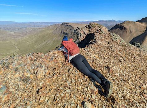 Day Hike to Moskardshnjukar: The Knife's Edgefrom 12.430 ISK · 5 h
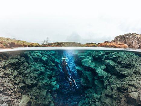 Self drive: Wetsuit Snorkeling in Silfra - with underwater photosfrom 22.990 ISK · 2 h 30 min
 Snorkeling Silfra Tour - meet on locationfrom 21.499 ISK
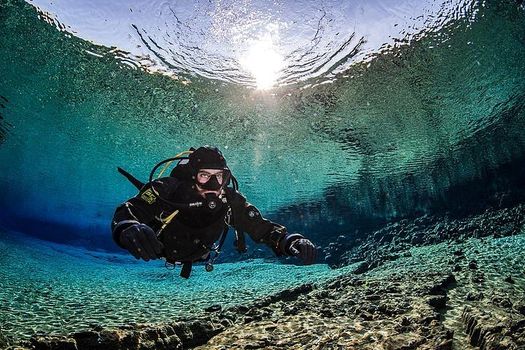 Diving Silfra Tour - Selfdrivefrom 34.499 ISK · 3 h
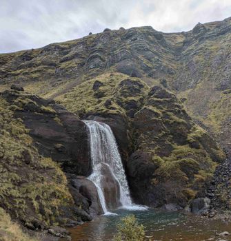 Day Hike to Grimannsfell: Helgufoss Waterfall and the Literary Legacyfrom 13.418 ISK · 5 h 30 min
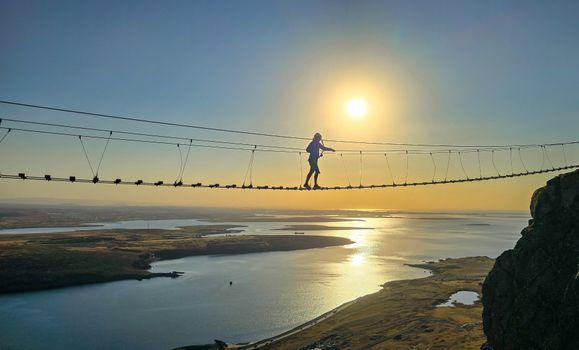 Fálkaklettur Via Ferrata close to Reykjavikfrom 19.900 ISK · 3 h
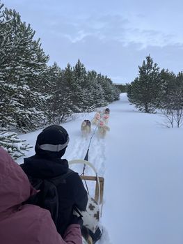 Dog Sleddingfrom 49.900 ISK · 1 h
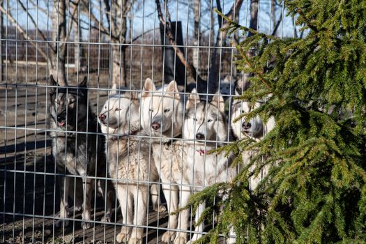 Husky Park - Kennel Visitfrom 11.500 ISK · 1 h
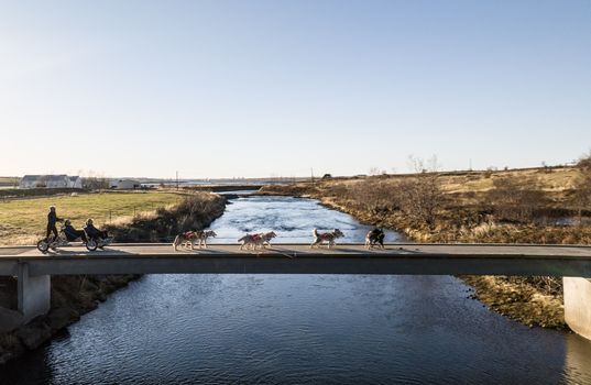 Husky Cart Ridefrom 55.000 ISK · 1 h
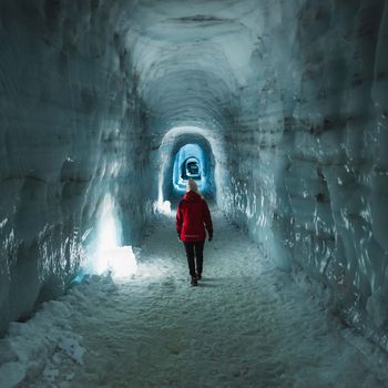 Into The Glacier - From Húsafellfrom 27.900 ISK · 4 h
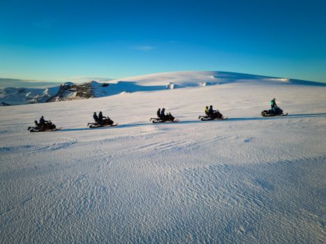 Snowmobile on Langjökull Glacier - Meet us in Husafellfrom 33.490 ISK · 2 h
 Golden Circle and Laugarás Lagoon Lerki Admissionfrom 23.039 ISK · 9 h 30 minAll 1,648 toursBy activity and region
Skorhagafoss weather and conditions
Last updated

Cars & campers
 KEF airport pickup 24/74.8
 Transmission
 Fuel
Fuel Seats
Seats Drive
Drive

 Sleeps
Photos & videos
No verified videos yet — we only show footage confirmed to be Skorhagafoss, no lookalikes. Search YouTube
Nearby
km column = your drive
- 1Brynjudalsfoss1 km
- 2Fosslágarfoss3 km
- 3Sjávarfoss3 km
- 4Þrándarstaðafossar3 km
- 5Folaldafoss3 km

 Hot springs
- 1Geothermal hot spring near Kjósarhreppur8 km
- 2Geothermal hot spring near Hvalfjarðarsveit12 km
- 3
 Krosslaug19 km

 Fuel
Fuel
- 1
 Ferstikla11 km · 308.7 kr/L
 - 2Grundartangi18 km · 308.7 kr/L
- 3
 Kjalarnes24 km · 279.8 kr/L
 Supermarkets


 Tours
Tours
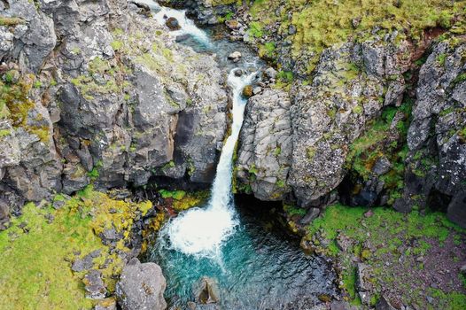 Day Trek to Akrafjall: The Troll's Mountainfrom 17.656 ISK · 6 hours 30 minutes
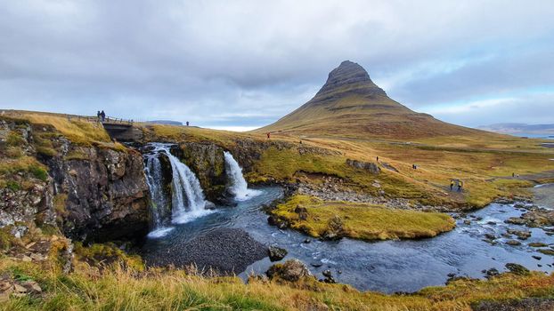 From Grundarfjörður Port: Private Snaefellsness Tourfrom 269.900 ISK · 8 hours
  Grundarfjörður Cruise Tour: Snæfellsnes Peninsula from the portfrom 24.500 ISK · 5 hours 30 minutes
Frequently
asked
questions
How do I get to Skorhagafoss?
Is Skorhagafoss free to visit?
What is the best time to visit Skorhagafoss?
Data & sources
Everything on this page comes from the sources below. Live feeds refresh automatically.
 PhotographyHero & gallery photography · Bromr · CC BY-SA 3.0
 Icelandic WikipediaEncyclopedic description · CC BY-SA 4.0
 VegagerðinLive road status & cameras · Icelandic Road Administration
 Open-MeteoWeather forecast · CC BY 4.0
 NOAA SWPCAurora (planetary Kp) forecast · public domain
 OpenStreetMapInteractive-map data · ODbL
 Esri, Maxar & Earthstar GeographicsSatellite imagery for the 3D terrain render · GIS User Community
Spotted an error, or have something to add? Help us keep this page accurate.