



 Road
Road  Weather


Map of Síká
Map
65.0727°N, 20.9833°W · West Iceland
Plan your visit
 Off the main road
- 5.8 km from Route 1
 Nearest town
- Laugarbakki — 29.4 km away
 Distance from Reykjavík
- 113 km in a straight line
 What else is close
- 29 mapped places within 20 km
Tours near Síká
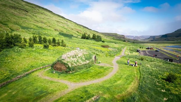 Experience the Settlement Period Farm of Eirik the Red and Leif Eirikssonfrom 2.900 ISK · 1 h
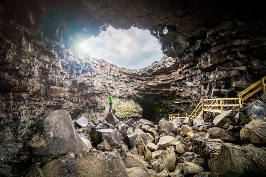 Cave Explorerfrom 9.000 ISK · 1 h 30 min
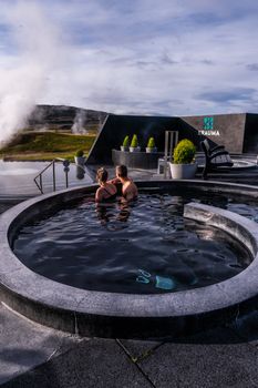 Krauma nature baths - Admission feefrom 7.900 ISK · 1 h
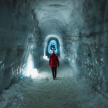 Into The Glacier - From Húsafellfrom 27.900 ISK · 4 h
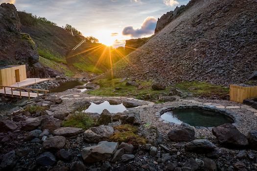 Husafell Canyon Bathsfrom 10.900 ISK · 1 h 45 min
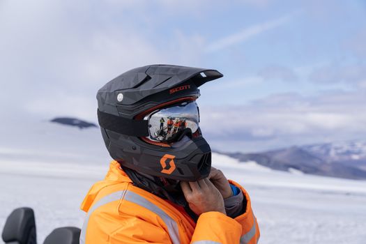 Into The Glacier - With Snowmobiling From Húsafellfrom 36.900 ISK · 4 h 30 min
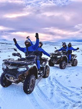 ATV Quad Adventure in Húsafell: Rivers & Mountain Viewsfrom 17.990 ISK · 1 h
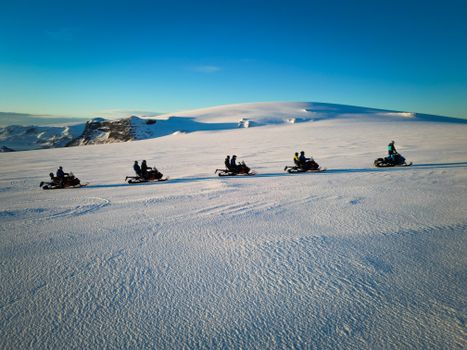 Snowmobile on Langjökull Glacier - Meet us in Husafellfrom 33.490 ISK · 2 h
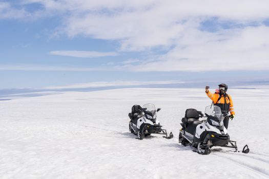 Into The Glacier - With Snowmobiling From Klaki Base Campfrom 36.900 ISK · 2 h 30 minInto The Glacier - From Húsafellfrom 27.900 ISK · 4 hSnowmobile on Langjökull Glacier - Meet us in Husafellfrom 33.490 ISK · 2 h
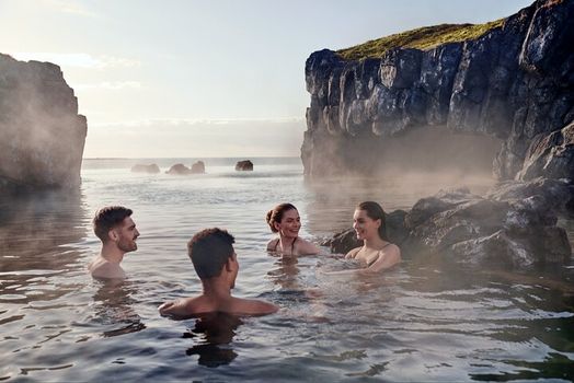 South Coast & Sky Lagoon Sér Pass Tourfrom 32.590 ISK · 13 hAll 1,631 toursBy activity and region
Síká weather and conditions
Last updated
0°Cfog · feels -3°C2 m/swind8 h 37 mdaylight · 08:49 – 17:26

Tonight
Northern lights forecast by region
In season now · Winter in IcelandInto The Glacier - From Húsafellfrom 27.900 ISK · 4 hAll 1,631 tours
Cars & campers
−12%exclusive discountFree cancellation KEF airport pickup 24/74.8
KEF airport pickup 24/74.8
 Transmission
 Fuel
Fuel Seats
Seats Drive
Drive

 Sleeps
Photos & videos
No verified videos yet — we only show footage confirmed to be Síká, no lookalikes. Search YouTube
Nearby
km column = your drive
- 1Svínadalsá8 km
- 2Syðri-Kvísl14 km
- 3Sámsstaðaá28 km
- 4
 Víðidalsá (Húnavatnssýsla)31 km
 - 5
 Kolbeinsá40 km

 Waterfalls
 Hot springs
- 1Geothermal hot spring near Húnaþing vestra21 km
- 2Natural hot pot near Húnaþing vestra22 km
- 3Grafarlaug28 km

 Fuel
Fuel
- 1
 Staðarskáli9 km · 310.9 kr/L
 - 2
 Laugarbakki28 km · 279.8 kr/L
 - 3Hvammstangi36 km · 308.6 kr/L
 Supermarkets
- 1Kaupfélag Vestur-Húnvetninga36 km
- 2Krambúð37 km
- 3Kaupfélag Steingrímsfjarðar72 km

 Tours
Tours
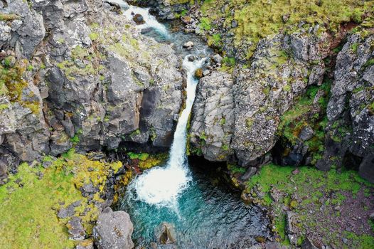 Day Trek to Akrafjall: The Troll's Mountainfrom 17.587 ISK · 6 hours 30 minutes
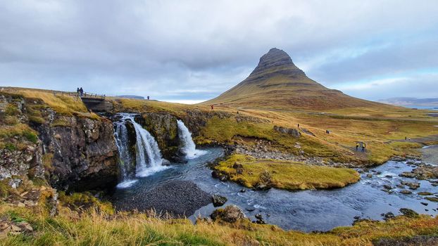 From Grundarfjörður Port: Private Snaefellsness Tourfrom 269.900 ISK · 8 hours
 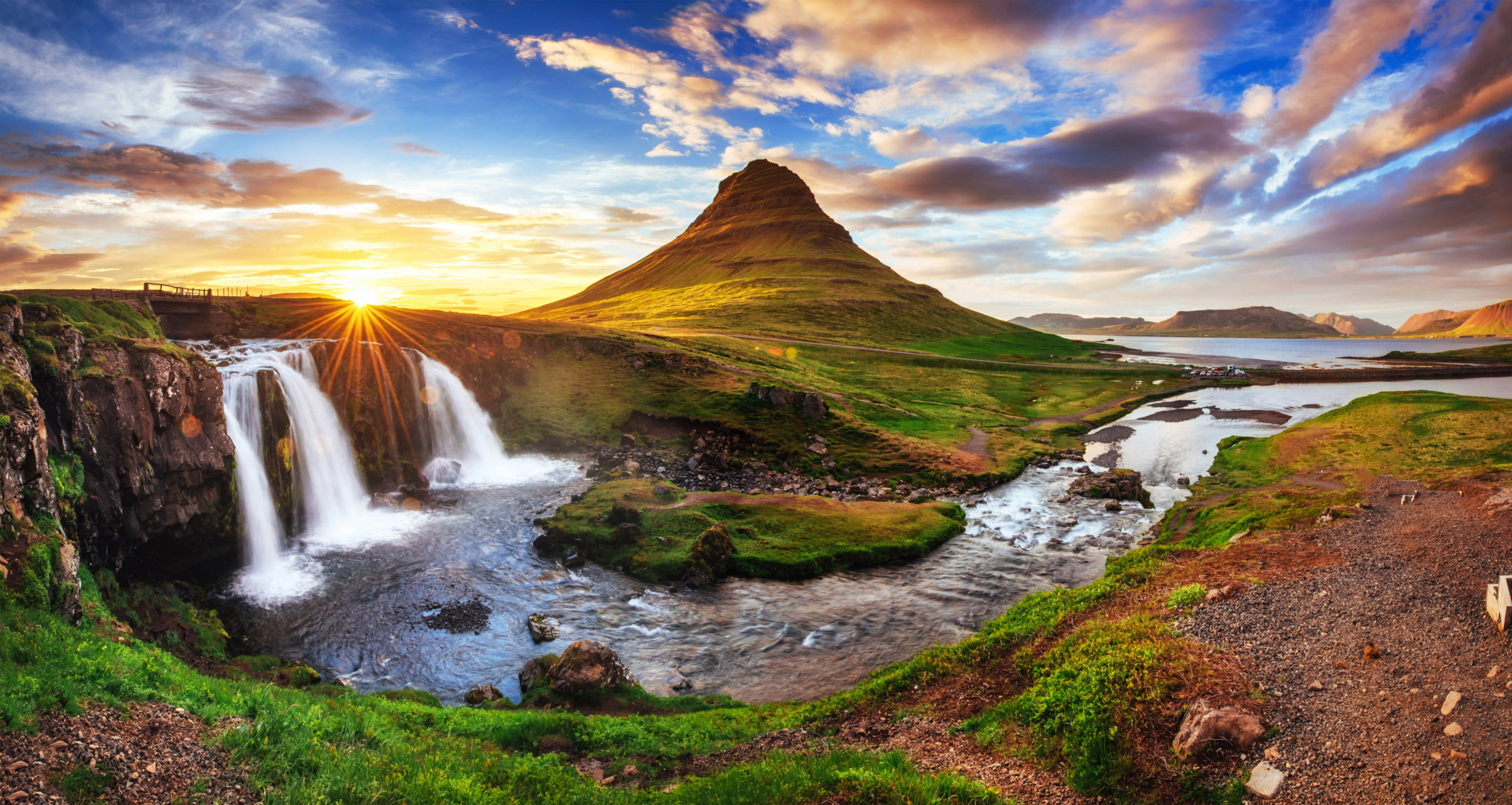 Grundarfjörður Cruise Tour: Snæfellsnes Peninsula from the portfrom 24.500 ISK · 5 hours 30 minutes
Frequently
asked
questions
Where is Síká?
Síká is a river in West Iceland, Iceland. Check the map on this page for its course and the nearest access points.
Can you fish in Síká?
Fishing any Icelandic river needs a permit sold per river or beat. Salmon rivers book far ahead and can be expensive; trout and char are more accessible. Never fish without a permit, and disinfect gear brought from abroad.
Is Síká safe to cross?
If Síká is crossed by an unbridged highland ford, treat it with real caution: glacial water is cold, fast, deeper than it looks and higher by afternoon. Cross only with the right 4WD and experience, watch another vehicle first, and if in doubt turn back.
When does Síká run highest?
Glacial rivers peak on warm summer afternoons, after rain and during the spring melt. A ford that is passable in the cool morning can be dangerous by late afternoon. Check road.is before highland driving.
Data & sources
Everything on this page comes from the sources below. Live feeds refresh automatically.
 Wikimedia CommonsHero & gallery photography · AB Flygtrafik, Dals Långed · Wikimedia Commons · Public domain
 VegagerðinVisitor access & practical facts
 VegagerðinLive road status & cameras · Icelandic Road Administration
 Open-MeteoWeather forecast · CC BY 4.0
 NOAA SWPCAurora (planetary Kp) forecast · public domain
 OpenStreetMapInteractive-map data · ODbL
 Esri, Maxar & Earthstar GeographicsSatellite imagery for the 3D terrain render · GIS User Community
Spotted an error, or have something to add? Help us keep this page accurate.
Iceland nowfrom 19 Sep 06:10