


Urriðavatn
Lakeside area7 facilitiesFamily-friendlyDogs welcomeFree parking


 Road loading…
 Weather loading…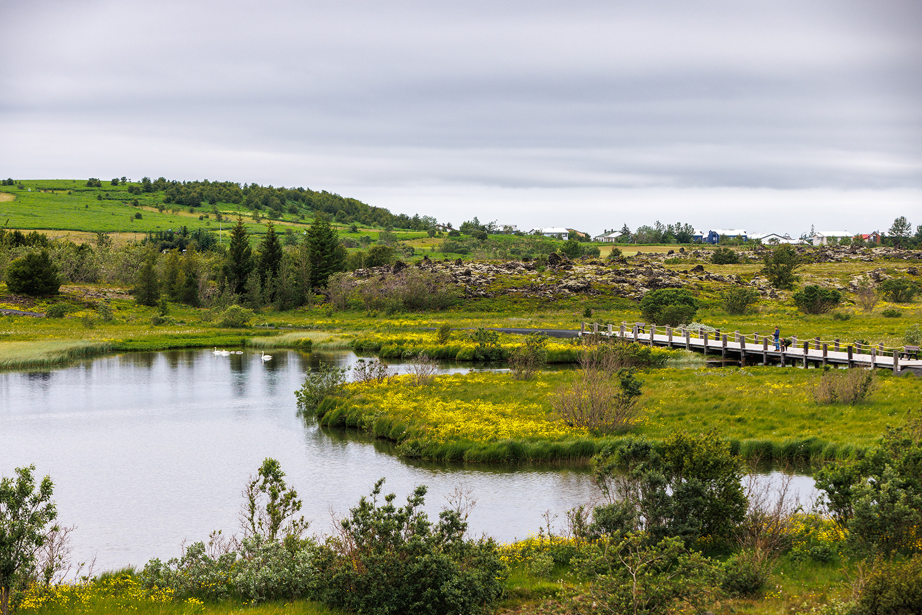

 ParkReykjavík Area
Urriðavatn

About
Urriðavatn is a lakeside area in Garðabær, in Iceland's Reykjavík capital region. It has walking paths, cycling path and parking. Family-friendly and free to visit.
On the ground you will find walking paths, cycling path, parking, exercise equipment and ev charging station. It is child-friendly and dog-friendly. 6 marked walking and running routes run through it.
Map of Urriðavatn
Map
64.0687°N, 21.9129°W · Reykjavík Area
Plan your visit
 Getting there
- Road 410 (Elliðavatnsvegur)
 Off the main road
- 2.3 km from Route 40
 Nearest town
- Garðabær — 2.5 km away
 Distance from Reykjavík
- 9 km in a straight line
 What else is close
- 1,079 mapped places within 20 km
Tours near Urriðavatn
 Relax - The essential Vök Baths experiencefrom 7.690 ISK · 1 h 30 min
 E-MOUNTAIN BIKE TOUR FOR BEGINNERS IN REYKJAVIKfrom 29.000 ISK · 2 h
 Lava Tour - Horseback Riding through the Lava Fieldsfrom 16.900 ISK · 2 h
 Waterproof Phonecasefrom 2.990 ISK
 Beer & brewery tour at Gæðingur breweryfrom 5.900 ISK · 1 h
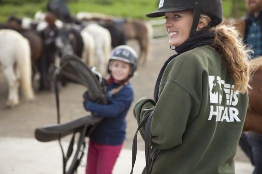 Horses and Wafflesfrom 16.900 ISK · 1 h
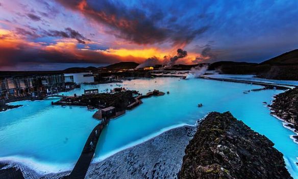 The Golden Circle, (optional) Blue Lagoon & Kerið Volcanic Crater | Small Group Day Tourfrom 17.900 ISK · 11 h
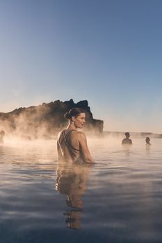 Sky Lagoon Saman Passfrom 14.990 ISK · 2 h
 Sky Lagoon To Keflavik Airportfrom 25.000 ISK · 1 h
 Blue Ice - Glacier Hike & Ice Climbing from Reykjavíkfrom 32.990 ISK · 13 h 30 min
 Golden Circle and Laugarás Lagoon Lerki Admissionfrom 23.039 ISK · 9 h 30 min
 Spirit of the Aurora (28 person max vehicle)from 14.990 ISK · 5 hAll 1,648 toursBy activity and region
Urriðavatn weather and conditions
Last updated
7°Covercast · feels 3°C4 m/sgusts 99 h 51 mdaylight · 08:17 – 18:09

Tonight
Northern lights forecast by region
In season now · Winter in IcelandBlue Ice - Glacier Hike & Ice Climbing from Reykjavíkfrom 32.990 ISK · 13 h 30 minAll 1,648 tours
Cars & campers
−12%exclusive discountFree cancellation KEF airport pickup 24/74.8
KEF airport pickup 24/74.8
 Transmission
 Fuel
Fuel Seats
Seats Drive
Drive

 Sleeps
Photos & videos
No verified videos yet — we only show footage confirmed to be Urriðavatn, no lookalikes. Search YouTube
Nearby
km column = your drive
- 1
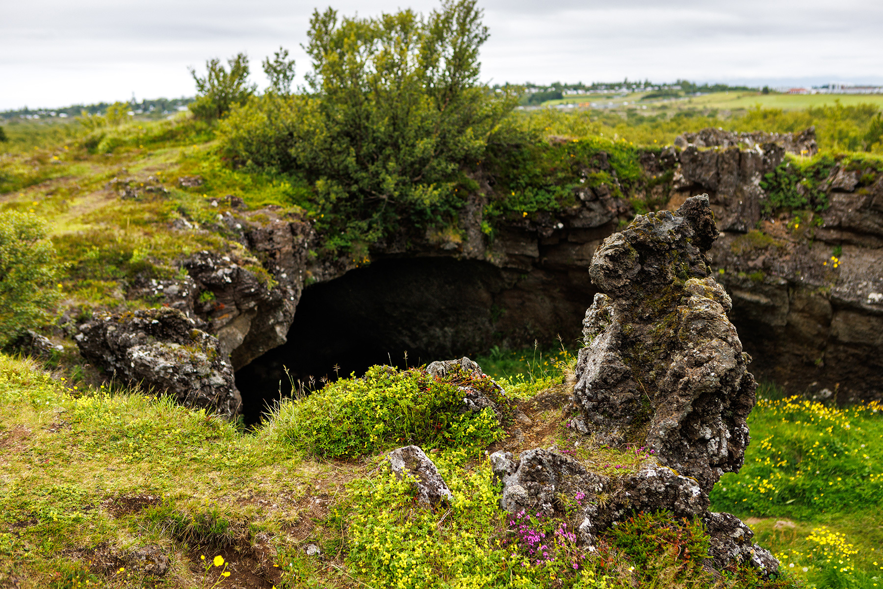 Maríuhellar1 km
 - 2
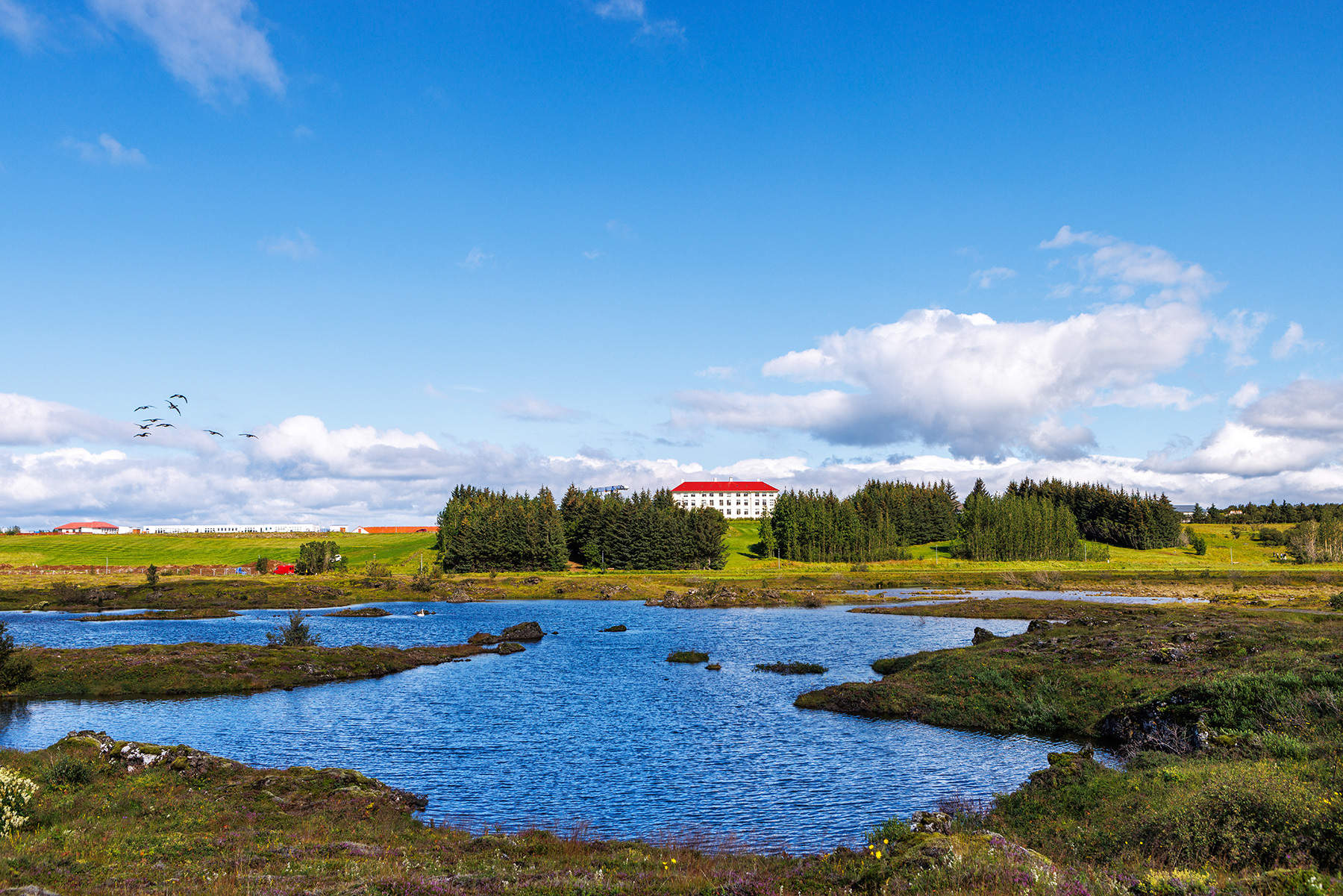 Vífilsstaðavatn2 km
 - 3
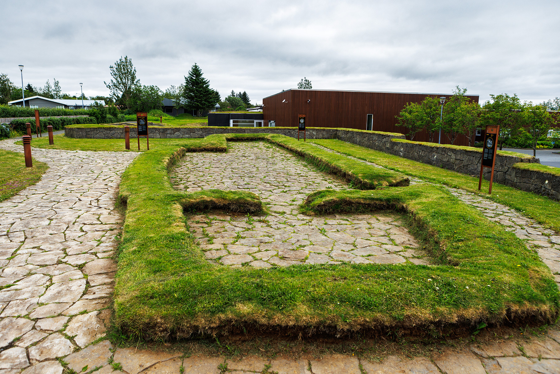 Hofsstaðir2 km
 - 4
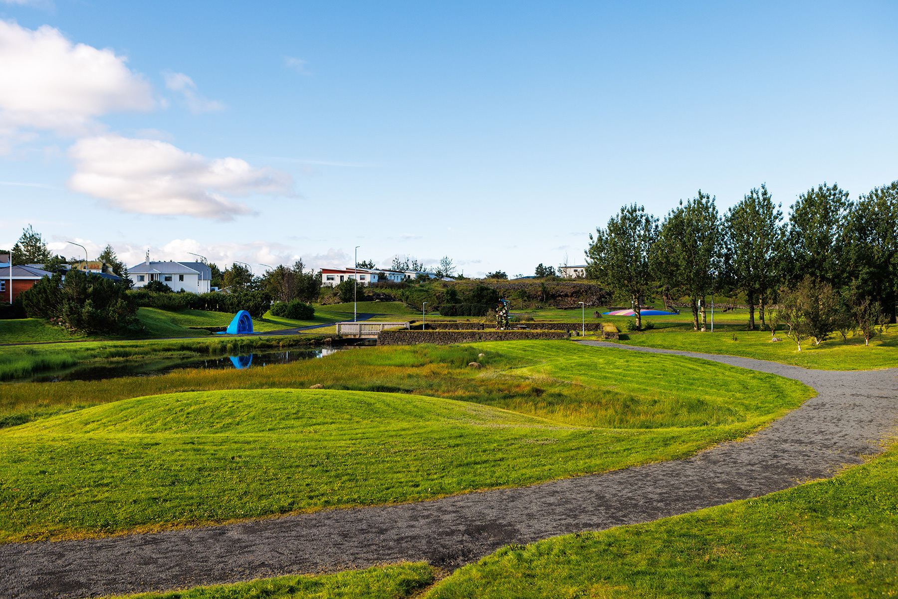 Víðistaðatún2 km
 - 5
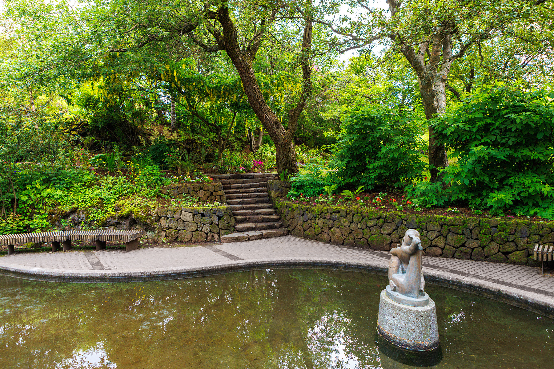 Hellisgerði2 km
 Waterfalls
 Hot springs
- 1Geothermal hot spring near Garðabær2 km
- 2Geothermal hot spring near Hafnarfjarðarkaupstaður3 km
- 3Natural hot pot near Hafnarfjarðarkaupstaður4 km

 Fuel
Fuel


 Supermarkets


 Tours
Tours
 A Gourmet golden circle - a taste of Iceland combined with amazing nature attractions!from 159.000 ISK · 8 hours
  A Magical Day in Iceland - a private custom made tour - Up to 9 passengersfrom 195.000 ISK · 8 hours
  Adventure in Landmannalaugar and Hot Springs - Reykjavík and Hellafrom 26.900 ISK · 13 hours
Frequently
asked
questions
How do I get to Urriðavatn?
Urriðavatn is in Garðabær, part of the Reykjavík capital area — a short drive or bus ride from central Reykjavík. Tap Directions for the exact route.
Is Urriðavatn free to visit?
Yes — Urriðavatn is a public park, free and open year-round. Parking is free too.
What can you do at Urriðavatn?
Urriðavatn has walking paths, cycling path, parking and exercise equipment. 6 marked walking and running routes pass through it.
Data & sources
Everything on this page comes from the sources below. Live feeds refresh automatically.
 PhotographyHero & gallery photography · Út um allt / Visit Reykjavík
 Út um allt / Visit ReykjavíkDescription & facts
 VegagerðinVisitor access & practical facts
 VegagerðinLive road status & cameras · Icelandic Road Administration
 Open-MeteoWeather forecast · CC BY 4.0
 NOAA SWPCAurora (planetary Kp) forecast · public domain
 OpenStreetMapInteractive-map data · ODbL
 Esri, Maxar & Earthstar GeographicsSatellite imagery for the 3D terrain render · GIS User Community
Spotted an error, or have something to add? Help us keep this page accurate.
Iceland nowfrom 19 Sep 06:10