
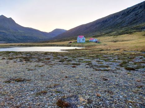

 Road
 Weather


Map of Skarð
Map
65.4857°N, 20.9876°W · West Iceland
Plan your visit
 Getting there
- Road 711 (Vatnsnesv.: Hvammst. - Þorgrímsstaðav.)
 Off the main road
- 12.4 km from Route 68
 Nearest town
- Hvammstangi — 10 km away
 Distance from Reykjavík
- 156 km in a straight line
 What else is close
- 78 mapped places within 20 km
Tours near Skarð
 German-language small-group shore trip to Góðafoss & Mývatn from Akureyrifrom 22.511 ISK · 8 h
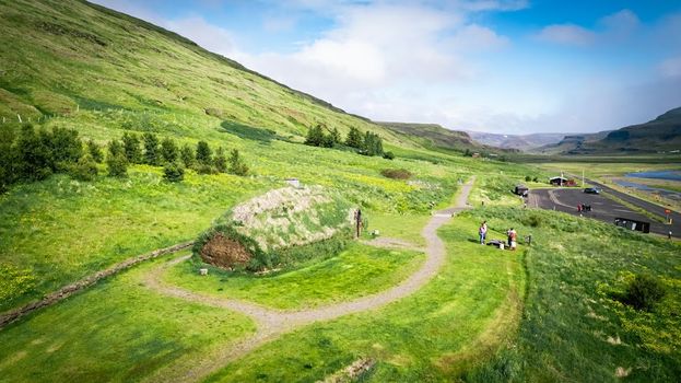 Experience the Settlement Period Farm of Eirik the Red and Leif Eirikssonfrom 2.900 ISK · 1 h
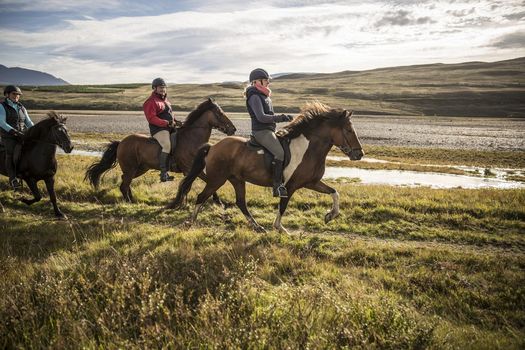 Give me 5from 31.000 ISK · 3 h
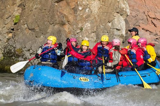 Ride & Raftfrom 35.400 ISK · 8 h
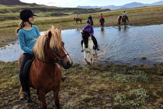 River Deltafrom 28.000 ISK · 3 h
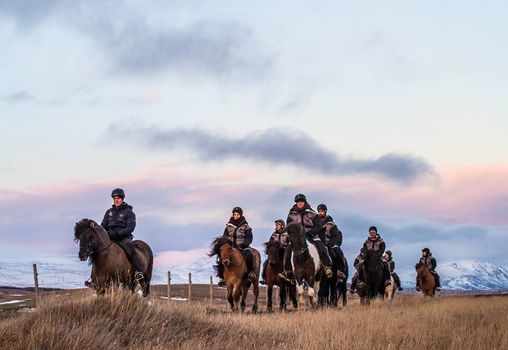 The Viking-Ride- All in Onefrom 15.000 ISK · 1 h 30 min
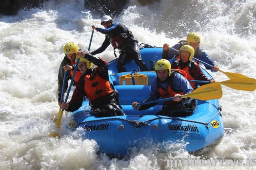 Extreme River Raftingfrom 33.000 ISK · 4 h 30 min
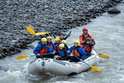 Family River raftingfrom 22.000 ISK · 3 h
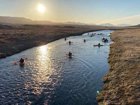 Kayak tripfrom 14.900 ISK · 2 h 15 min
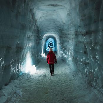 Into The Glacier - From Húsafellfrom 27.900 ISK · 4 h
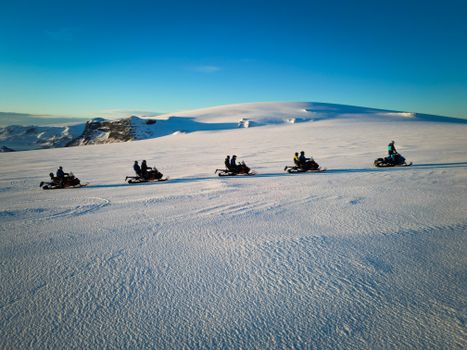 Snowmobile on Langjökull Glacier - Meet us in Husafellfrom 33.490 ISK · 2 h
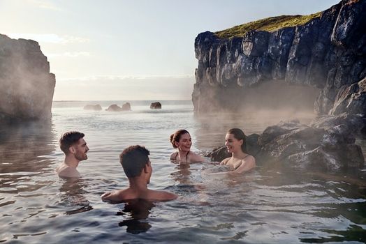 South Coast & Sky Lagoon Sér Pass Tourfrom 32.590 ISK · 13 hAll 1,631 toursBy activity and region
Skarð weather and conditions
Last updated
5°Covercast · feels -1°C9 m/sgusts 128 h 32 mdaylight · 08:52 – 17:24

Tonight
Northern lights forecast by region
In season now · Winter in IcelandInto The Glacier - From Húsafellfrom 27.900 ISK · 4 hAll 1,631 tours
Cars & campers
−12%exclusive discountFree cancellation KEF airport pickup 24/74.8
 Transmission
 Fuel
 Seats
 Drive


 Sleeps
Photos & videos
No verified videos yet — we only show footage confirmed to be Skarð, no lookalikes. Search YouTube
Nearby
km column = your drive
- 1
 Súgandisey92 km
- 2
 Klofningsviti92 km
- 3
 Elliðaey92 km
- 4Skipavík95 km
- 5Höskuldsey104 km

 Waterfalls


 Hot springs
- 1Geothermal hot spring near Húnaþing vestra10 km
- 2Natural hot pot near Húnaþing vestra26 km
- 3Geothermal hot spring near Kaldrananeshreppur31 km

 Fuel
- 1Hvammstangi11 km · 308.6 kr/L
- 2
 Laugarbakki18 km · 279.8 kr/L
- 3
 Víðihlíð20 km · 310.9 kr/L
 Supermarkets
- 1Kaupfélag Vestur-Húnvetninga10 km
- 2Kaupfélag Steingrímsfjarðar31 km
- 3
 Kjörbúðin38 km

 Tours
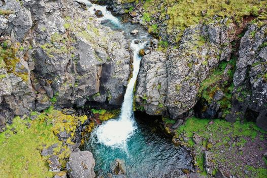 Day Trek to Akrafjall: The Troll's Mountainfrom 17.587 ISK · 6 hours 30 minutes
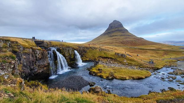 From Grundarfjörður Port: Private Snaefellsness Tourfrom 269.900 ISK · 8 hours
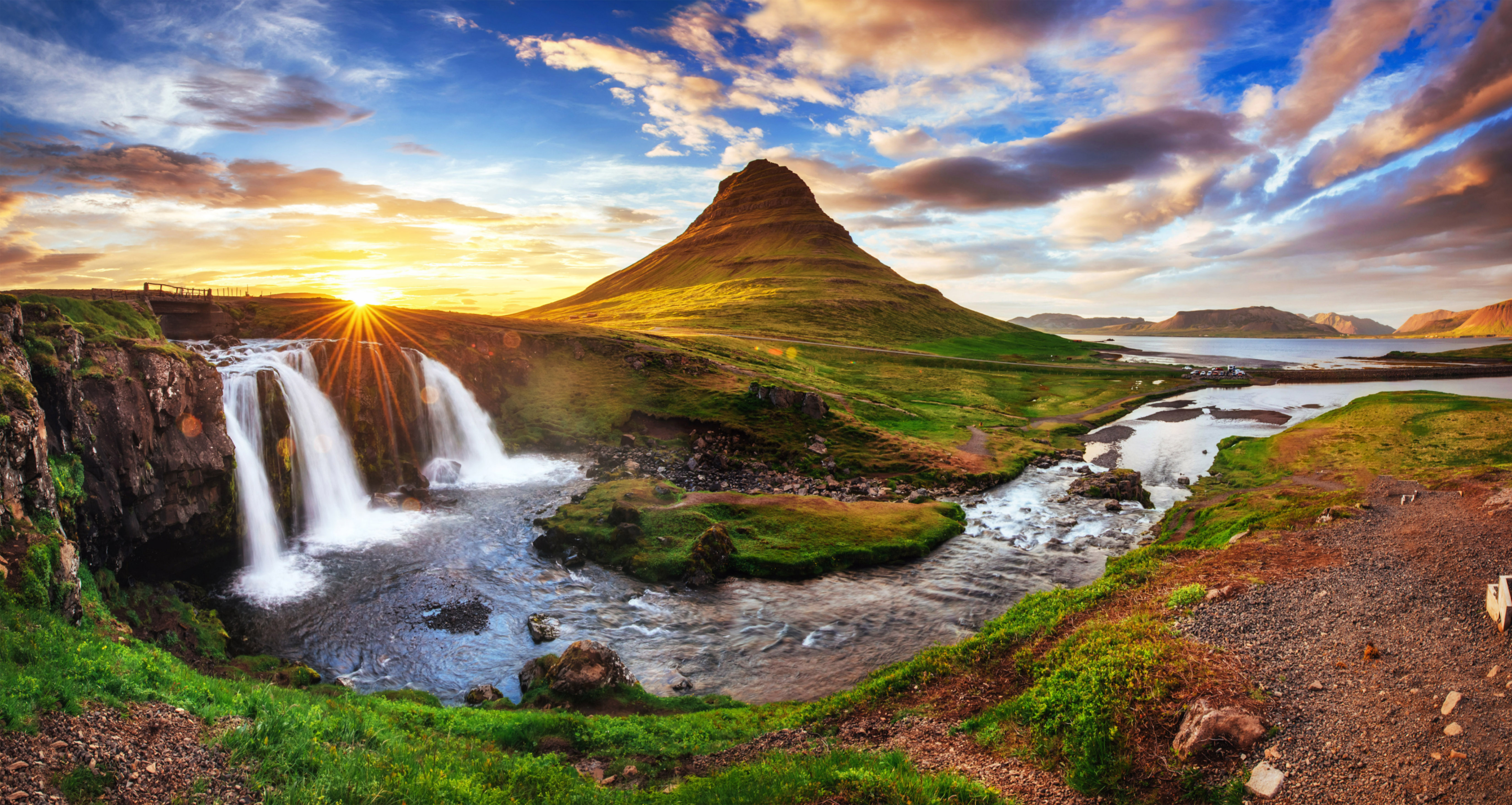 Grundarfjörður Cruise Tour: Snæfellsnes Peninsula from the portfrom 24.500 ISK · 5 hours 30 minutes
Frequently
asked
questions
Can you go inside Skarð?
Skarð is a working navigation aid, so the tower is usually closed to the public. Treat the door as locked unless there is a sign or posted opening hours — the reward is the headland and the view, not the interior.
How do I get to Skarð?
Skarð is in West Iceland. Check live road conditions on this page before you drive — remote coastal lighthouses often sit at the end of rough gravel tracks, and exposed headlands can be very windy.
Is Skarð worth visiting?
It depends on what you want. Lighthouses in Iceland are usually about the setting — the cliffs, the birds, the exposed coast — rather than the building itself. If you are already passing through West Iceland, it is an easy stop; few are worth a long detour on their own.
When is the best time to visit Skarð?
Summer gives the clearest access roads and the seabird season on nearby cliffs; clear winter nights can be good for northern lights on this dark coast. Either way, check road conditions and dress for strong wind before you go.
Data & sources
Everything on this page comes from the sources below. Live feeds refresh automatically.
 Wikimedia CommonsHero & gallery photography · Alexander Klink · Wikimedia Commons · CC BY 4.0
 VegagerðinVisitor access & practical facts
 VegagerðinLive road status & cameras · Icelandic Road Administration
 Open-MeteoWeather forecast · CC BY 4.0
 NOAA SWPCAurora (planetary Kp) forecast · public domain
 OpenStreetMapInteractive-map data · ODbL
 Esri, Maxar & Earthstar GeographicsSatellite imagery for the 3D terrain render · GIS User Community
Spotted an error, or have something to add? Help us keep this page accurate.
Iceland nowfrom 19 Sep 06:10