





 Road
Road  Weather


About
Tungnafellsjökull is an ice cap in the Vatnajökull Group, the Highlands.
It's part of the Vatnajökull Group. The name comes from the Tungnafell mountain.
Ice caves are winter-only experiences. In summer, they collapse. Book ahead in peak season.
Map of Tungnafellsjökull
Map
64.7300°N, 17.9200°W · Highlands
Plan your visit
 Nearest town
- Hrafnagil — 95.1 km away
 Distance from Reykjavík
- 204 km in a straight line
 What else is close
- 53 mapped places within 20 km
Tours near Tungnafellsjökull
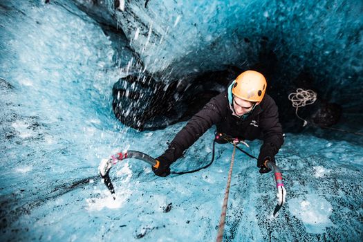 Ice Climbing Captured in Skaftafellfrom 32.500 ISK · 4 h
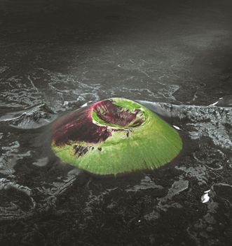 Laki Craters Airplane Tour from Skaftafellfrom 51.900 ISK · 50 min
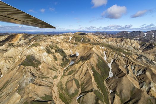 Landmannalaugar & Highland Wonders Airplane Tour from Skaftafellfrom 67.900 ISK · 1 h 15 min
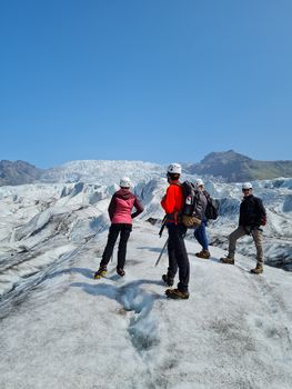 Skaftafell 3 Hour Glacier Walkfrom 17.900 ISK · 3 h
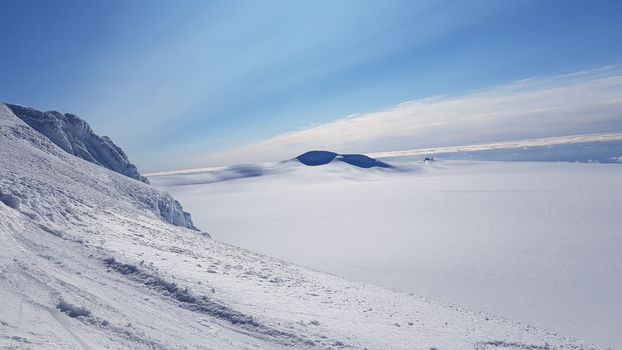 Rótarfjallshnúkur skiingfrom 64.900 ISK · 10 h
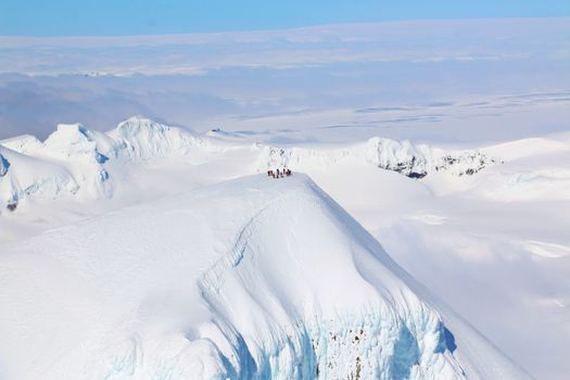 Lagoons, Glaciers & Colorful Mountains Airplane Tour from Skaftafellfrom 51.900 ISK · 50 min
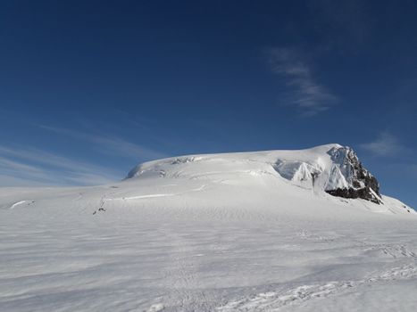 Hvannadalshnúkur The Great Withe Onefrom 79.900 ISK · 14 h
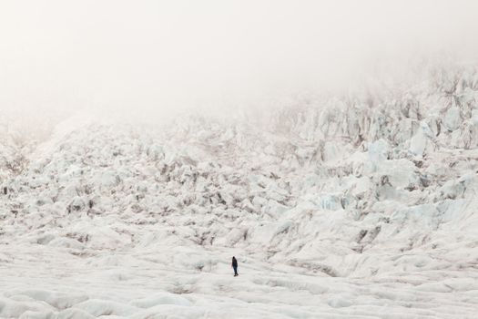 Skaftafell Glacier Adventurefrom 23.400 ISK · 4 h 30 min
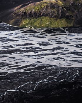 Black Sands & Riverbeds Airplane Tour from Skaftafellfrom 49.900 ISK · 45 min
 Blue Ice - Glacier Hike & Ice Climbing from Reykjavíkfrom 32.990 ISK · 13 h 30 min
 Golden Circle and Laugarás Lagoon Lerki Admissionfrom 23.039 ISK · 9 h 30 min
 Spirit of the Aurora (28 person max vehicle)from 14.990 ISK · 5 hAll 1,648 toursBy activity and region
Tungnafellsjökull weather and conditions
Last updated
-10°Cfog · feels -20°C12 m/sgusts 179 h 54 mdaylight · 08:00 – 17:54

Tonight
Northern lights forecast by region
In season now · Winter in IcelandBlue Ice - Glacier Hike & Ice Climbing from Reykjavíkfrom 32.990 ISK · 13 h 30 minAll 1,648 tours
Cars & campers
−12%exclusive discountFree cancellation KEF airport pickup 24/74.8
KEF airport pickup 24/74.8
 Transmission
 Fuel
Fuel Seats
Seats Drive
Drive

 Sleeps
Photos & videos
Nearby
km column = your drive
- 1Köldukvíslarjökull17 km
- 2Rjúpnabrekkujökull19 km
- 3
 Skaftárkatlar33 km
 - 4
 Hofsjökull43 km
 - 5Tungnaárjökull46 km

 Waterfalls
 Hot springs
 Fuel
Fuel
 Supermarkets

 Tours
Tours
 (Cruise Ships) Lake Mývatn and Goðafossfrom 25.300 ISK · 6 hours 30 minutes
 (RS) Lake Myvatn & Godafoss Waterfall Day Tour from Akureyrifrom 25.900 ISK · 6 hours
  A Gourmet golden circle - a taste of Iceland combined with amazing nature attractions!from 159.000 ISK · 8 hours
Frequently
asked
questions
What does the name Tungnafellsjökull mean?
Tungnafellsjökull is named after the Tungnafell mountain.
What type of glacier is Tungnafellsjökull?
Tungnafellsjökull is an ice cap, in the Vatnajökull Group.
Is Tungnafellsjökull part of a bigger glacier system?
Yes — Tungnafellsjökull belongs to the Vatnajökull Group, per the USGS gazetteer of Icelandic glaciers.
Data & sources
Everything on this page comes from the sources below. Live feeds refresh automatically.
 Wikimedia CommonsHero & gallery photography · Christian Wirth · Wikimedia Commons · CC BY-SA 2.5
 USGS Professional Paper 1746Glacier facts · Public domain
 OpenStreetMapVisitor access & practical facts
 VegagerðinLive road status & cameras · Icelandic Road Administration
 Open-MeteoWeather forecast · CC BY 4.0
 NOAA SWPCAurora (planetary Kp) forecast · public domain
 OpenStreetMapInteractive-map data · ODbL
 Esri, Maxar & Earthstar GeographicsSatellite imagery for the 3D terrain render · GIS User Community
Spotted an error, or have something to add? Help us keep this page accurate.
Iceland nowfrom 19 Sep 06:10