

 Road
 Weather


Map of Garðakirkja
Map
64.0862°N, 21.9969°W · Reykjavík Area
Plan your visit
 Getting there
- Road 415 (Álftanesvegur)
 Off the main road
- 2.6 km from Route 40
 Nearest town
- Álftanes — 2.5 km away
 Distance from Reykjavík
- 7 km in a straight line
 What else is close
- 1,028 mapped places within 20 km
Tours near Garðakirkja
 E-MOUNTAIN BIKE TOUR FOR BEGINNERS IN REYKJAVIKfrom 29.000 ISK · 2 h
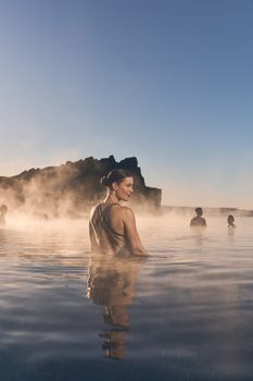 Sky Lagoon Saman Passfrom 14.990 ISK · 2 h
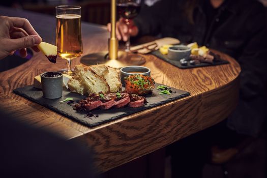 Sky Lagoon for Two with a Platter and Drinks: Sér Passesfrom 22.090 ISK · 3 h
 Sky Lagoon for Two with a Platter and Drinks: Saman Passesfrom 19.490 ISK · 3 h
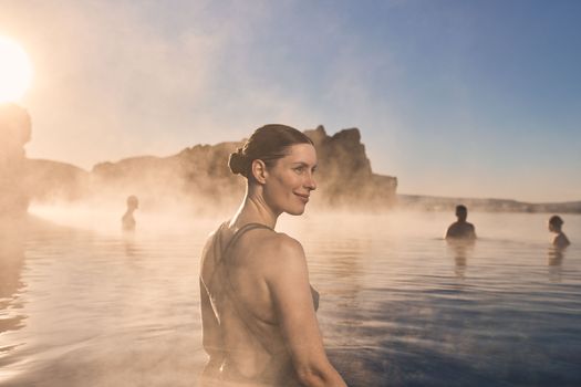 Sky Lagoon Sér Passfrom 17.990 ISK · 2 h
 Sky Lagoon for Two with Breakfast: Sér Passesfrom 20.115 ISK · 3 h
 Sky Lagoon for Two with Breakfast: Saman Passesfrom 17.390 ISK · 3 h
 Sky Lagoon To Keflavik Airportfrom 25.000 ISK · 1 h
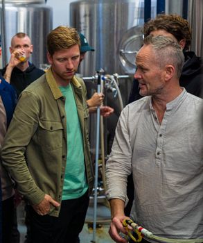 Beer & brewery tour at Gæðingur breweryfrom 5.900 ISK · 1 h
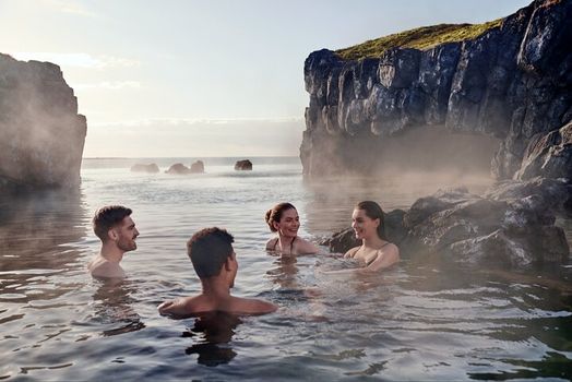 South Coast & Sky Lagoon Sér Pass Tourfrom 32.590 ISK · 13 h
 Blue Ice - Glacier Hike & Ice Climbing from Reykjavíkfrom 32.990 ISK · 13 h 30 min
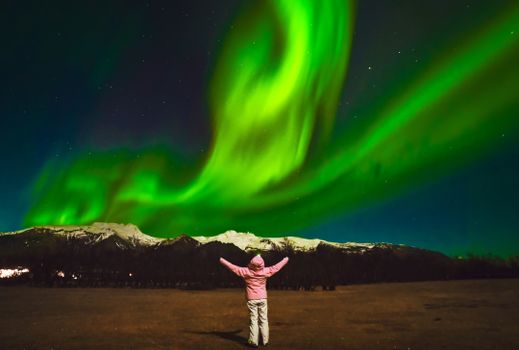 Northern Lights Tour Led by Local Hunters - Hotel pickup availablefrom 11.990 ISK · 4 hAll 1,631 toursBy activity and region
Garðakirkja weather and conditions
Last updated
2°Covercast · feels -1°C2 m/swind8 h 46 mdaylight · 08:49 – 17:35

Tonight
Northern lights forecast by region
In season now · Winter in IcelandSouth Coast & Sky Lagoon Sér Pass Tourfrom 32.590 ISK · 13 hAll 1,631 tours
Cars & campers
−12%exclusive discountFree cancellation KEF airport pickup 24/74.8
 Transmission
 Fuel
 Seats
 Drive


 Sleeps
Photos & videos
No verified videos yet — we only show footage confirmed to be Garðakirkja, no lookalikes. Search YouTube
Nearby
km column = your drive
- 1
 Víðistaðakirkja2 km
- 2
 Bessastaðakirkja2 km
- 3
 Kópavogskirkja5 km
- 4Digraneskirkja6 km
- 5
 Neskirkja6 km

 Waterfalls

 Hot springs
- 1Geothermal hot spring near Hafnarfjarðarkaupstaður2 km
- 2Geothermal hot spring near Garðabær2 km
- 3Natural hot pot near Hafnarfjarðarkaupstaður4 km

 Fuel
- 1
 Reykjavíkurvegur3 km · 279.9 kr/L
- 2
 Hafnarfjarðarhöfn3 km · 279.8 kr/L
- 3
 Fjarðarkaup3 km · 279.8 kr/L
 Supermarkets


 Tours
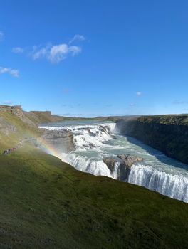 A Gourmet golden circle - a taste of Iceland combined with amazing nature attractions!from 159.000 ISK · 8 hours
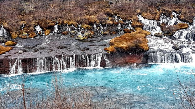 A Magical Day in Iceland - a private custom made tour - Up to 9 passengersfrom 195.000 ISK · 8 hours
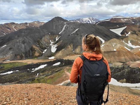 Adventure in Landmannalaugar and Hot Springs - Reykjavík and Hellafrom 26.900 ISK · 13 hours
Frequently
asked
questions
Can I go inside Garðakirkja?
Garðakirkja is in Reykjavík Area. Many Icelandic churches are open to visitors during the day, but smaller rural churches are often locked outside services. Check opening hours before making a long drive, and never enter or photograph during a service in progress.
How do I get to Garðakirkja?
Garðakirkja is located in Reykjavík Area. Use the map and directions on this page — most churches sit in or near a town and are reachable by any car on paved roads.
Is there an entry fee for Garðakirkja?
Entry to Icelandic churches is generally free, though a couple of city churches charge for tower viewing platforms or museums. Donations are welcomed at many rural churches.
What kind of church is Garðakirkja?
Most churches in Iceland are Evangelical Lutheran parish churches of the Church of Iceland — the national church. A small number are Catholic. Details for this church, where recorded, come from Wikidata and Wikipedia.
Data & sources
Everything on this page comes from the sources below. Live feeds refresh automatically.
 Wikimedia CommonsHero & gallery photography · Steinninn ♨ · Wikimedia Commons · CC BY-SA 3.0
 VegagerðinVisitor access & practical facts
 VegagerðinLive road status & cameras · Icelandic Road Administration
 Open-MeteoWeather forecast · CC BY 4.0
 NOAA SWPCAurora (planetary Kp) forecast · public domain
 OpenStreetMapInteractive-map data · ODbL
 Esri, Maxar & Earthstar GeographicsSatellite imagery for the 3D terrain render · GIS User Community
Spotted an error, or have something to add? Help us keep this page accurate.
Iceland nowfrom 19 Sep 06:10