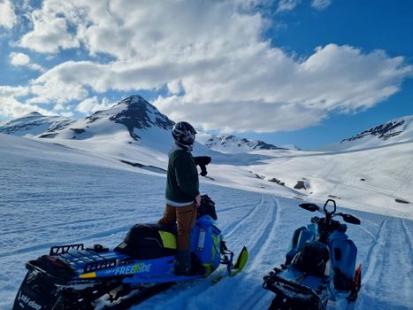
Berserkur · Wikimedia Commons · CC0
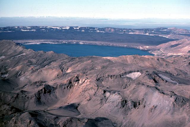 Michael Ryan · Wikimedia Commons · Public domain
North Iceland F-Roads

4 F-roads in North Iceland — mapped with live road conditions, drive times, and directions.
4 F-roads in North Iceland, led by Leirdalsheiðarvegur and Dyngjufjöll. All mapped with drive times, directions, and live road conditions.
Top F-roads in North Iceland
The region's stand-outs — each with photos, facts, and its own page. Distances on the cards are straight-line from Reykjavík.
Leirdalsheiðarvegur
F839 (Leirdalsheiðarvegur) runs from the highlands down to the coast in North Iceland, rated medium difficulty and requiring at least a medium 4x4. It has small-to-medium river crossings and, on record, opens later and closes earlier than many nearby routes.
4 F-roads in North Iceland
Kollafjarðarheiði
F66 (Kollafjarðarheiði) is the only road across the central part of this region, rated medium difficulty and requiring any 4x4. It's a mountain pass with steep switchbacks, and weather here is noted to change quickly.
Ófeigsfjarðarvegur
F649 (Ófeigsfjarðarvegur) leads to an abandoned fjord, passing a herring factory left standing since 1952. It's rated medium difficulty, needs at least a medium 4x4, and has one river crossing near the end before reaching the waterfall Hvalárfoss.
Leirdalsheiðarvegur
F839 (Leirdalsheiðarvegur) runs from the highlands down to the coast in North Iceland, rated medium difficulty and requiring at least a medium 4x4. It has small-to-medium river crossings and, on record, opens later and closes earlier than many nearby routes.
Cars & campers
 KEF airport pickup 24/74.8
 Transmission
 Fuel
Fuel Seats
Seats Drive
Drive

 Sleeps
Tours near North Iceland
 Small groups
 Duration
 Highlights
 Type
Type