





 Road
Road  Weather


About
Krafla is a volcanic caldera of about 10 km (6. 2 mi) in diameter with a 90 km (56 mi) long fissure zone.
Standing on a volcano puts things in perspective. The earth beneath your feet is alive and restless.
2 mi) in diameter with a 90 km (56 mi) long fissure zone. It is located in the north of Iceland in the Mývatn region and is situated on the Iceland hotspot atop the Mid-Atlantic Ridge, which forms the divergent boundary between the North American Plate and the Eurasian Plate. Its highest peak reaches up to 818 m (2,684 ft) and it is 2 km (1.
Check road conditions before heading to volcanic areas. Some roads close seasonally or after weather events.
Map of Krafla
65.7377°N, 16.8276°W · North Iceland
Plan your visit
 Elevation
- 818 m above sea level
 Off the main road
- 10.1 km from Route 1
 Nearest town
- Reykjahlíð — 11.3 km away
 Distance from Reykjavík
- 299 km in a straight line
 What else is close
- 211 mapped places within 20 km
Tours near Krafla
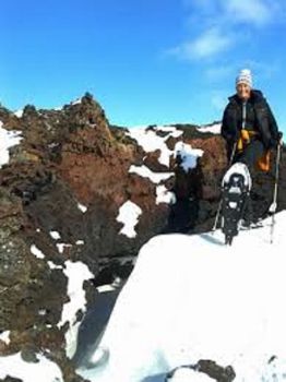 Snowshoeing in Krafla volcanic areafrom 18.900 ISK · 3 h
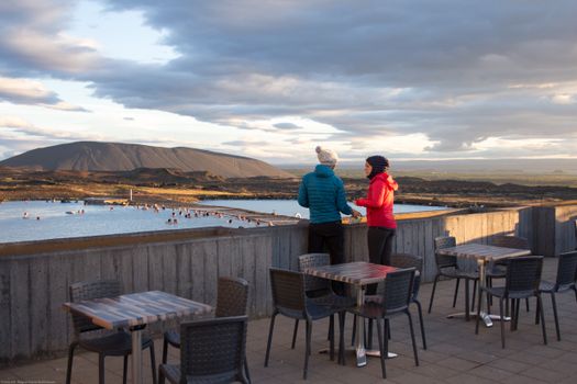 Bike and Bathfrom 18.900 ISK · 3 h
 Hike and Bathfrom 18.900 ISK · 5 h
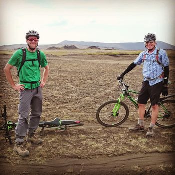 Fat Bike Mountain challengefrom 24.900 ISK · 3 h
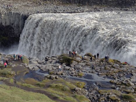 Lake Myvatn and Dettifoss Waterfall (from Lake Myvatn)from 39.900 ISK · 6 h
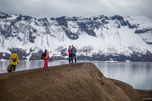 Askja & Herðubreið Super Jeep Tourfrom 59.900 ISK · 12 h
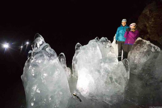 Lofthellir Ice-Cave Exploration - Super Jeep Tourfrom 49.900 ISK · 4 h 30 min
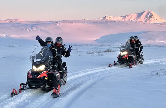 Lake Mývatn 1.Hour Snowmobile Safarifrom 29.900 ISK · 1 h 30 min
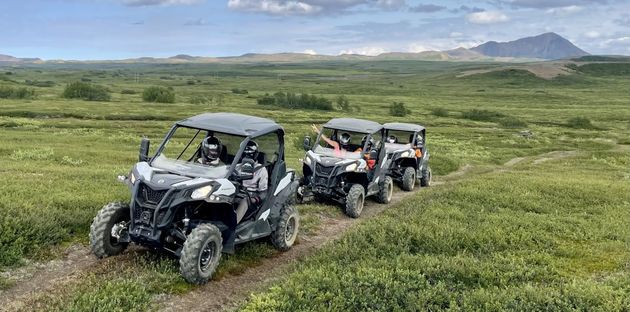 Buggy Adventure Mývatn - ATV tourfrom 27.900 ISK · 2 h
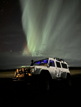 Northern Lights 4x4 Tour from Akureyrifrom 34.799 ISK · 2 h 30 min
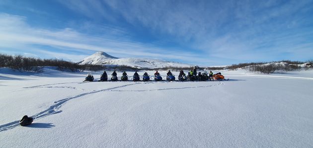 Lake Mývatn & Snowmobile Tour from Akureyrifrom 59.900 ISK · 9 h
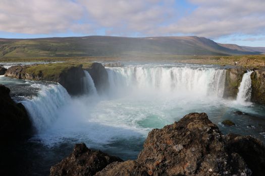 Goðafoss and the Forest Lagoonfrom 26.400 ISK · 4 hAll 1,648 toursBy activity and region
Krafla weather and conditions
Last updated

Cars & campers
 KEF airport pickup 24/74.8
 Transmission
 Fuel
Fuel Seats
Seats Drive
Drive

 Sleeps
Photos & videos
No verified videos yet — we only show footage confirmed to be Krafla, no lookalikes. Search YouTube
Nearby
km column = your drive
- 1
 Leirhnjúkur2 km
 - 2
 Víti4 km
 - 3Þeistareykjarbunga16 km
- 4Gígur18 km
- 5
 Búrfell á Mývatnsöræfum22 km

 Waterfalls


 Hot springs
- 1Geothermal hot spring near Þingeyjarsveit3 km
- 2
.jpg?width=1280) Grjótagjá13 km
Grjótagjá13 km - 3Stóragjá Cave14 km

 Fuel
Fuel
 Supermarkets

 Tours
Tours
 (Cruise Ships) Lake Mývatn and Goðafossfrom 25.300 ISK · 6 hours 30 minutes
 (RS) Lake Myvatn & Godafoss Waterfall Day Tour from Akureyrifrom 25.900 ISK · 6 hours
 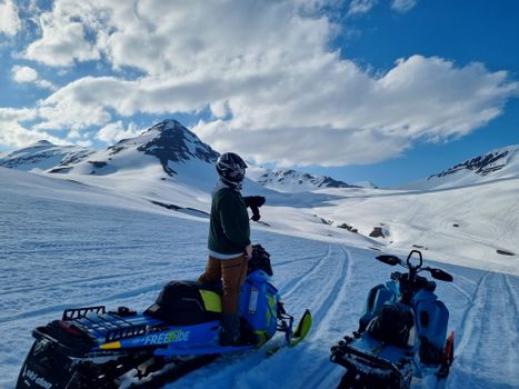 Adventure snowmobile tour Akureyrifrom 166.750 ISK · 5 hours
Frequently
asked
questions
Is it safe to visit Krafla?
How do I get to Krafla?
Can I hike Krafla?
What should I know about volcanic gas near Krafla?
Data & sources
Everything on this page comes from the sources below. Live feeds refresh automatically.
 Wikimedia CommonsHero & gallery photography · Andreas Tille · Wikimedia Commons · CC BY-SA 4.0
 VegagerðinVisitor access & practical facts
 VegagerðinLive road status & cameras · Icelandic Road Administration
 Open-MeteoWeather forecast · CC BY 4.0
 NOAA SWPCAurora (planetary Kp) forecast · public domain
 OpenStreetMapInteractive-map data · ODbL
 Esri, Maxar & Earthstar GeographicsSatellite imagery for the 3D terrain render · GIS User Community
Spotted an error, or have something to add? Help us keep this page accurate.