



Akureyri
Iceland's second city — today's fuel prices, the pool, the campsite, and every stop nearby with coordinates.
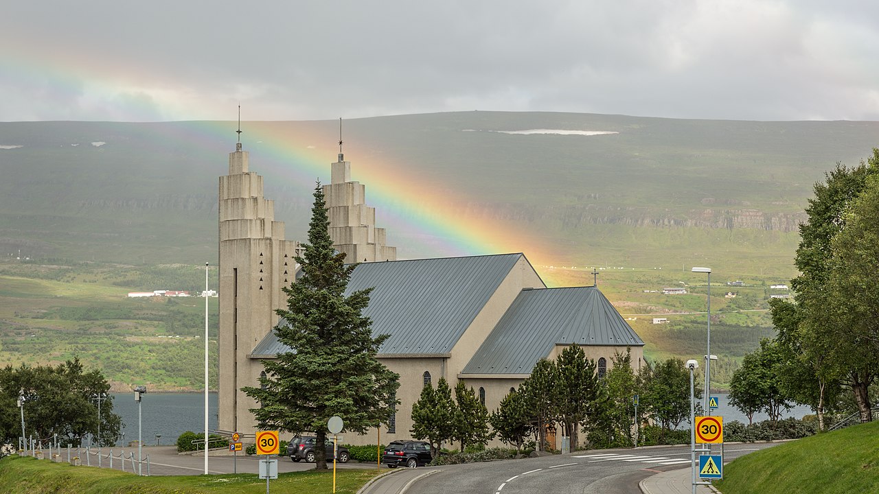
Akureyri sits at the head of Eyjafjörður at 65.68, -18.09, about 388 km and five hours north of Reykjavík. It is the only place outside the capital area with a full set of services, which makes it the base for the north: Goðafoss is 25 km east, Mývatn about an hour, the whale boats at Húsavík ninety minutes. It has seven filling stations inside a kilometre and a half — the last easy fuel before the north-east.
Fuel in town, today
Straight-line distances from the town centre, not driving distance. Fill up here before the north-east and the east fjords — stations thin out fast once you leave.
- ÓB Akureyri BSO — 0.1 km · bensín 95 282.4 ISK/L · diesel 329.8
- Atlantsolía Glerártorg Akureyri — 0.7 km · bensín 95 253.3 ISK/L · diesel 306.2
- Orkan Furuvellir — 0.8 km · bensín 95 253.2 ISK/L · diesel 306.1
- N1 Akureyri Tryggvabraut — 0.8 km · bensín 95 254.6 ISK/L · diesel 307.9
- Olís Akureyri — 0.9 km · bensín 95 275.7 ISK/L · diesel 325.2
- Orkan Mýrarvegur — 1.0 km · bensín 95 253.2 ISK/L · diesel 306.1
- N1 Akureyri Hörgárbraut — 1.2 km · bensín 95 279.5 ISK/L · diesel 324.7
What is nearby, with coordinates
- Sundlaug Akureyrar — 1.4 km
The town pool — outdoor lanes, hot pots and a slide, open year round. In a northern town this is the social centre, not a sports facility.65.67733, -18.11442 - Nonnahús — 1.8 km
The childhood home of Jón Sveinsson — "Nonni" — whose books were translated into forty languages. One of six museums inside two kilometres.65.66704, -18.08578 - Hamrar campsite — 4.1 km
In the woodland south of town, which is unusual in Iceland — Akureyri has actual trees.65.64763, -18.10334 - Hlíðarfjall — 8.1 km
The mountain above town and Iceland’s main ski area. In summer it is the view; in winter it is the reason people come.65.66513, -18.25992 - Goðafoss — 24.6 km
The waterfall of the gods, half an hour east on Route 1 — the obvious stop between Akureyri and Mývatn.65.68282, -17.55062
Cars & campers
 KEF airport pickup 24/74.8
 Transmission
 Fuel
Fuel Seats
Seats Drive
Drive

 Sleeps
Akureyri — questions people actually ask
Is Akureyri worth visiting?
How far is Akureyri from Reykjavík?
Where do you fill up in Akureyri?
What is there to do around Akureyri?
Does Akureyri get the northern lights?
Hero photograph: Akureyrarkirkja by Villy Fink Isaksen, CC BY-SA 4.0, via Wikimedia Commons. Fuel prices: gasvaktin.is. Coordinates and distances: our own datasets.