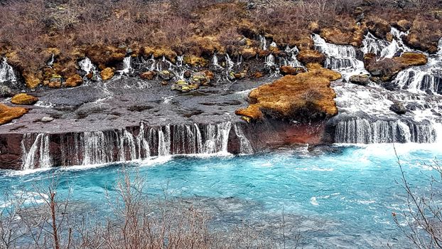
Jakub Hałun · Wikimedia Commons · CC BY-SA 4.0
 Olga Ernst · Wikimedia Commons · CC BY-SA 4.0
 TommyBee · Wikimedia Commons · Public domain
Reykjavík Area Rivers

4 rivers in Reykjavík Area — mapped with live road conditions, drive times, and directions.
4 rivers in Reykjavík Area, led by Ölfusá and Elliðaár. All mapped with drive times, directions, and live road conditions.
Top rivers in Reykjavík Area
The region's stand-outs — each with photos, facts, and its own page. Distances on the cards are straight-line from Reykjavík.

Ölfusá
Iceland's largest river by volume, formed where Hvítá and Sog meet near Selfoss. Despite its size, Ölfusá is short - only about 25km to the ocean. The town of Selfoss sits where the Ring Road crosses. Historically important for commerce - boats could navigate upstream. Now bridged and mostly unnoticed by tourists rushing past.

Elliðaár
The rivers Elliðaár are situated in the Reykjavík area in the south-west of Iceland. Two small rivers have their source in the volcanic mountain range of Bláfjöll and stream down to Elliðavatn lake at the eastern suburban border of the city, its outlet forming the river. On their way, they pass through the nature reserve area of Heiðmörk. Icelandic river shaped by glaciers and volcanic landscape. Fishing permits are required and often expensive for prime salmon rivers.
4 rivers in Reykjavík Area
Svínadalsá
Icelandic river shaped by glaciers and volcanic landscape. River conditions change rapidly with weather and glacier melt. Check before attempting crossings.
Reykjadalsá
Icelandic river shaped by glaciers and volcanic landscape. Many rivers offer rafting opportunities - operators know the safe sections.
Ölfusá
Iceland's largest river by volume, formed where Hvítá and Sog meet near Selfoss. Despite its size, Ölfusá is short - only about 25km to the ocean. The town of Selfoss sits where the Ring Road crosses. Historically important for commerce - boats could navigate upstream. Now bridged and mostly unnoticed by tourists rushing past.
Elliðaár
The rivers Elliðaár are situated in the Reykjavík area in the south-west of Iceland. Two small rivers have their source in the volcanic mountain range of Bláfjöll and stream down to Elliðavatn lake at the eastern suburban border of the city, its outlet forming the river. On their way, they pass through the nature reserve area of Heiðmörk. Icelandic river shaped by glaciers and volcanic landscape. Fishing permits are required and often expensive for prime salmon rivers.
Cars & campers
 KEF airport pickup 24/74.8
 Transmission
 Fuel
Fuel Seats
Seats Drive
Drive

 Sleeps
Tours near Reykjavík Area
 Small groups
 Duration
 Highlights
 Type
Type