

 Weather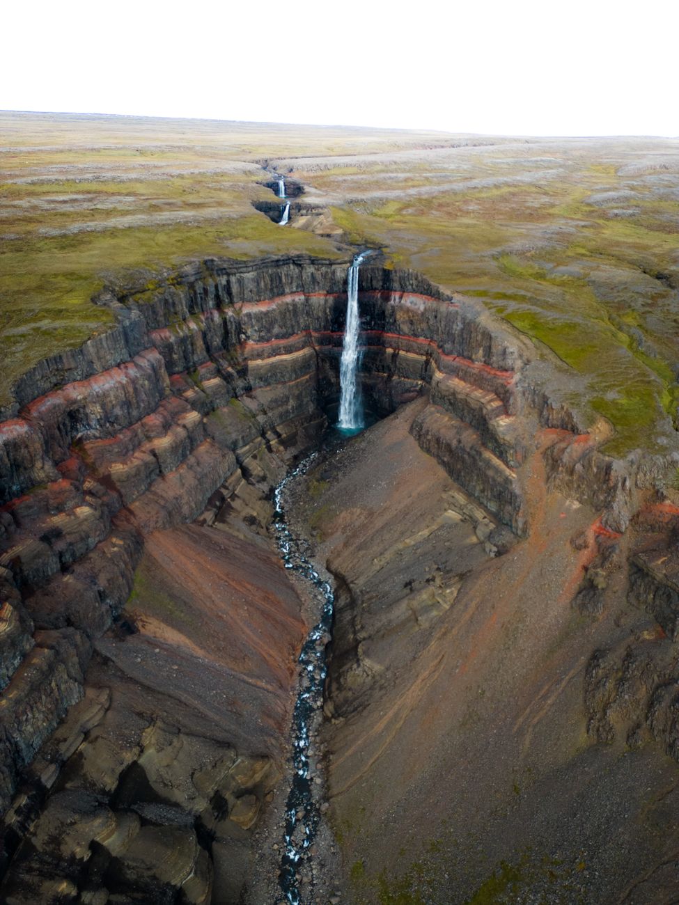
Hengifoss
About
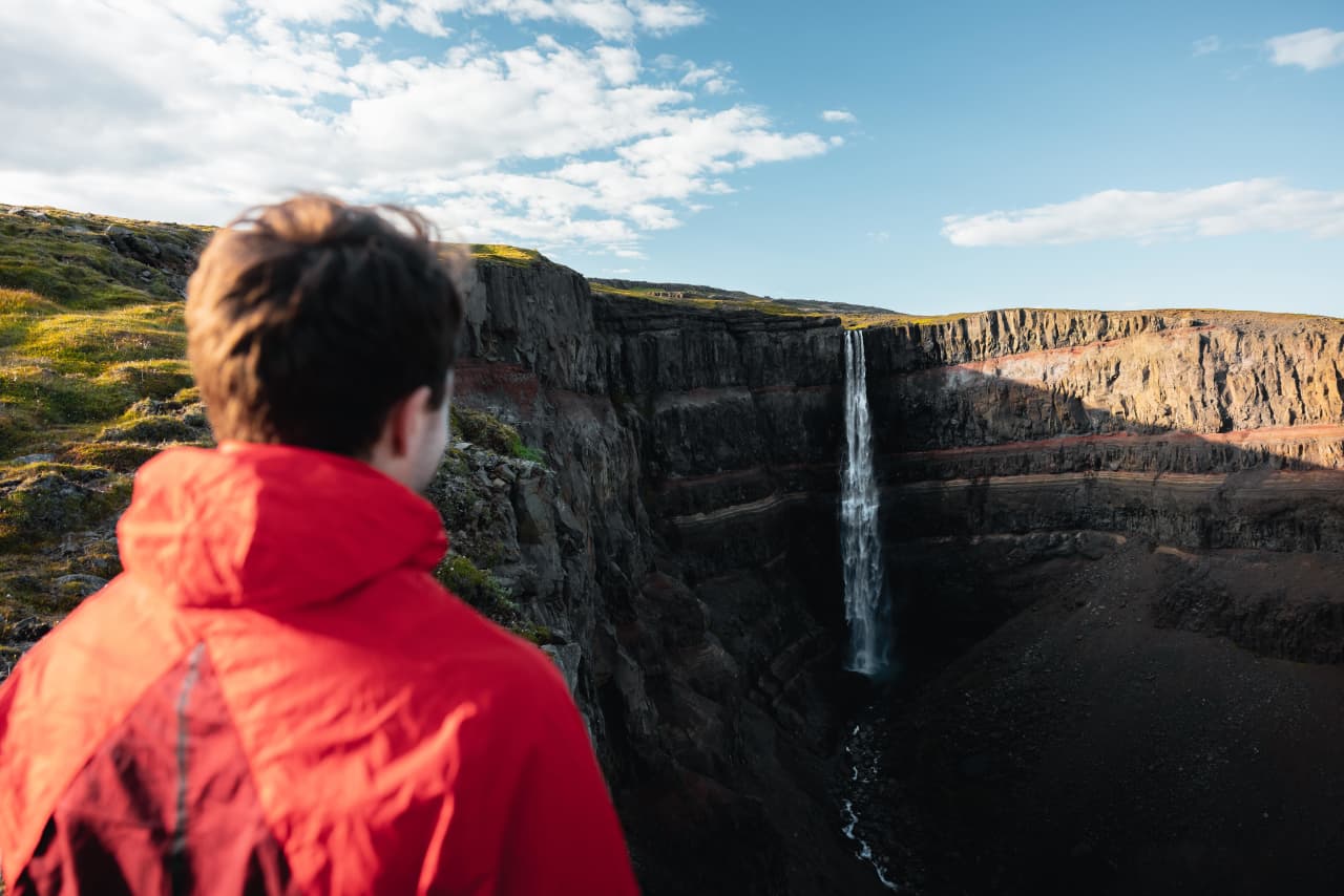
Hengifoss is a 128-meter waterfall on the Stekkalækur stream in East Iceland.
Hengifoss is the third highest waterfall in Iceland, 128 meters. It is located in Hengifossá in Fljótsdalshreppur, East Iceland.
The sound of falling water fills the air. Mist catches the light. This is Iceland at its most elemental.
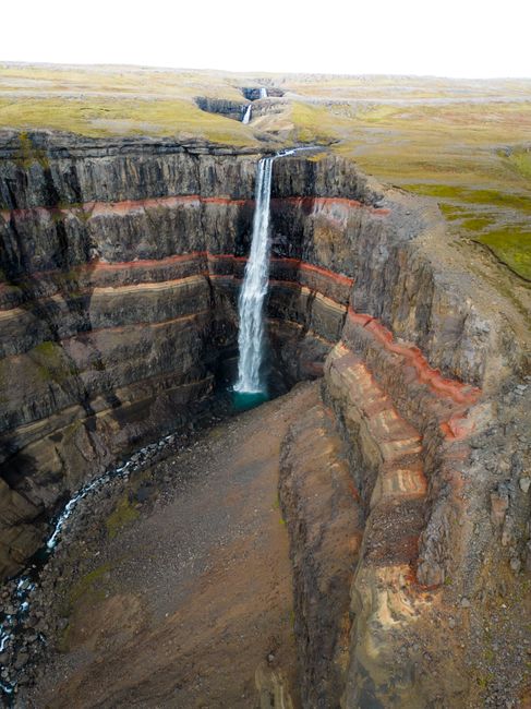
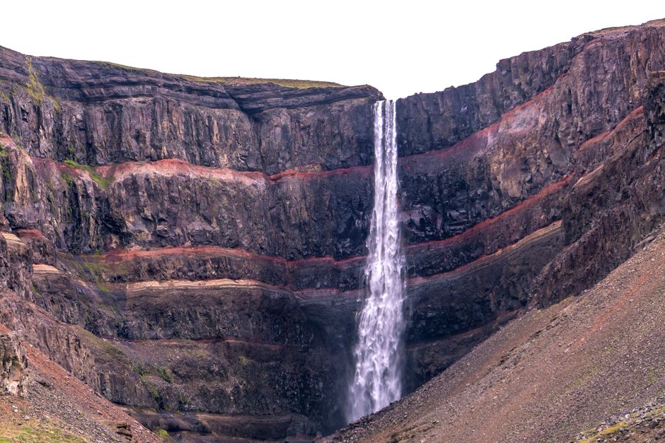
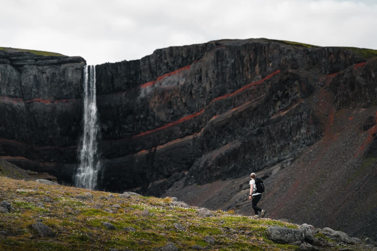
It is located in Hengifossá in Fljótsdalshreppur, East Iceland. It is surrounded by basaltic strata with thin, red layers of clay between the basaltic layers. Fossilized trunks of coniferous trees, sensitive to cold, and lignite, which depict warmer climates during the latter part of Tertiary.
Come early morning or late evening to avoid crowds. The light's better for photos anyway. Bring layers - waterfall spray plus Icelandic wind equals cold.
Plan your visit
 Getting there
- Road 933; reached via Route 931 off Highway 1 (west side) or Route 95 then Route 931 via Hallormsstaður (east side) · ~35 km from Egilsstaðir
 Parking
- Car park at the end of the main road with a service/visitor center at the trailhead
 The walk
- 2 km each way to the waterfall on a gravel trail, 40-60 min one way
 Best time
- June-July for peak water flow; morning light (waterfall faces southeast)
 Heads up
- Steep canyon trails with loose gravel; falling hazard at canyon edges (especially with children); winter ice makes gorge entry unsafe due to falling-ice risk; snowmelt in late May/early June makes trails muddy and may require wading streams
 128 m high
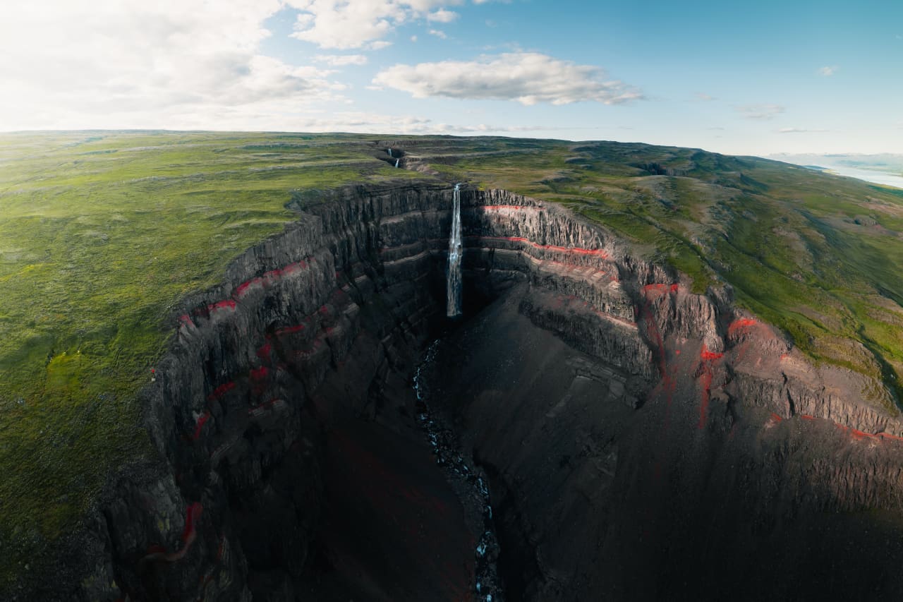
- Reddish bands in the cliff face from Tertiary (Tertiary-era) lava strata layers
- Plunges from a plateau into the Hengifossárgil gorge
- Neighboring waterfall Litlanesfoss (~1.2 km from the car park) flanked by basalt columns

 Drive: Good·
 Visit now·
 30 min stop
 Ring Road 1Checking…
 F-roadsOpen
 ClosuresChecking…
 Wind—
Wind— Visibility—
 Entry: Free
 Parking: Free
 No booking
 Entry feeFree
 ParkingFree
 BookingNot needed
 Getting thereCar recommended
 —
— —
— —
— Loading…
 Moon—
Moon— ——
—— —
— Sunrise—
 Golden hour AM—
 Golden hour PM—
 Sunset—
 Blue hour—
Cars & campers
 KEF airport pickup 24/74.8
Dacia Duster 4x4
Cheapest real 4WD in the fleet — gravel, the Westfjords and easy summer F-roads without truck prices.
 TransmissionManual
 FuelPetrol/diesel
 Seats5
 Drive4WD
VW Caravelle
Whole family or friend group in one car — gear in the back, room to stretch.
TransmissionAutomaticFuelDieselSeats9Drive2WD
Key Camper Wild Duo
Sleep right by the trailhead, wake up at the falls — F-road ready from mid-June.
TransmissionManualFuelPetrol Sleeps2Drive4WD
Tours near Hengifoss
 Small groups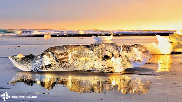
Jökulsárlón Glacier Lagoon
Floating icebergs at Jökulsárlón plus the best of South Iceland on the way.
 Duration14 hours
 PickupReykjavík
 HighlightsSouth Iceland
 StopsHot springs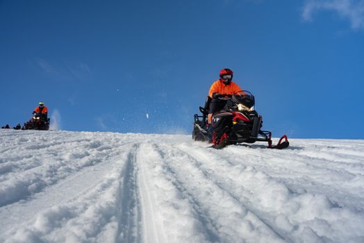
Glacier & Golden Circle
Snowmobile across a glacier, then hit the Golden Circle classics.
Duration10 hoursPickupReykjavík ActivitySnowmobile
 VehicleSuper Jeep
Photos & videos



Reviews
Nearby
 Waterfalls
Litlanesfoss is a waterfall in Hengifossá in Fljótsdalur, Eastern Iceland, also known as…

A waterfall in East Iceland. One of many cascades that make Iceland a waterfall paradise.
A waterfall in East Iceland. One of many cascades that make Iceland a waterfall paradise.
A waterfall in East Iceland. One of many cascades that make Iceland a waterfall paradise.
 Hot Springs
Natural hot pot. Coordinates only - verify before visiting.
Geothermal spot
Natural hot pot. Coordinates only - verify before visiting.
Hot spring in East Iceland. Natural geothermal bathing spot.
 Campsites
East Iceland campsite in the remote and beautiful Eastfjords. Fewer tourists means better…
Atlavík is next to the populated area Hallormsstaður. There are many small and large flat…
There are two camp sites in the forest, one in Atlavík and the other in Höfðavík. Atlavík…
East Iceland campsite in the remote and beautiful Eastfjords. Fewer tourists means better…
 Supermarkets
Nettó supermarket — supplies
Bónus supermarket — supplies
Krónan supermarket — supplies
Supermarket — supplies
 Gas stations
Orkan · 308.6 kr/L petrol
Orkan · 308.6 kr/L petrol
N1 · 310.9 kr/L petrol
Orkan · 308.6 kr/L petrol
 Tours
Tours
Floating icebergs at Jökulsárlón plus the best of South Iceland on the way.
Snowmobile across a glacier, then hit the Golden Circle classics.
Frequently
asked
questions
How do I get to Hengifoss?
Is Hengifoss free to visit?
What is the best time to visit Hengifoss?
Data & sources
Everything on this page comes from the sources below. Live feeds refresh automatically.
 PexelsHero & gallery photography · Tomáš Malík / Pexels
 Visit Austurland (east.is)Visitor access & practical facts · tourism board
 WikipediaEncyclopedic description · CC BY-SA 4.0
 VegagerðinLive road status & cameras · Icelandic Road Administration
 Open-MeteoWeather forecast · CC BY 4.0
 NOAA SWPCAurora (planetary Kp) forecast · public domain
 OpenStreetMapInteractive-map data · ODbL
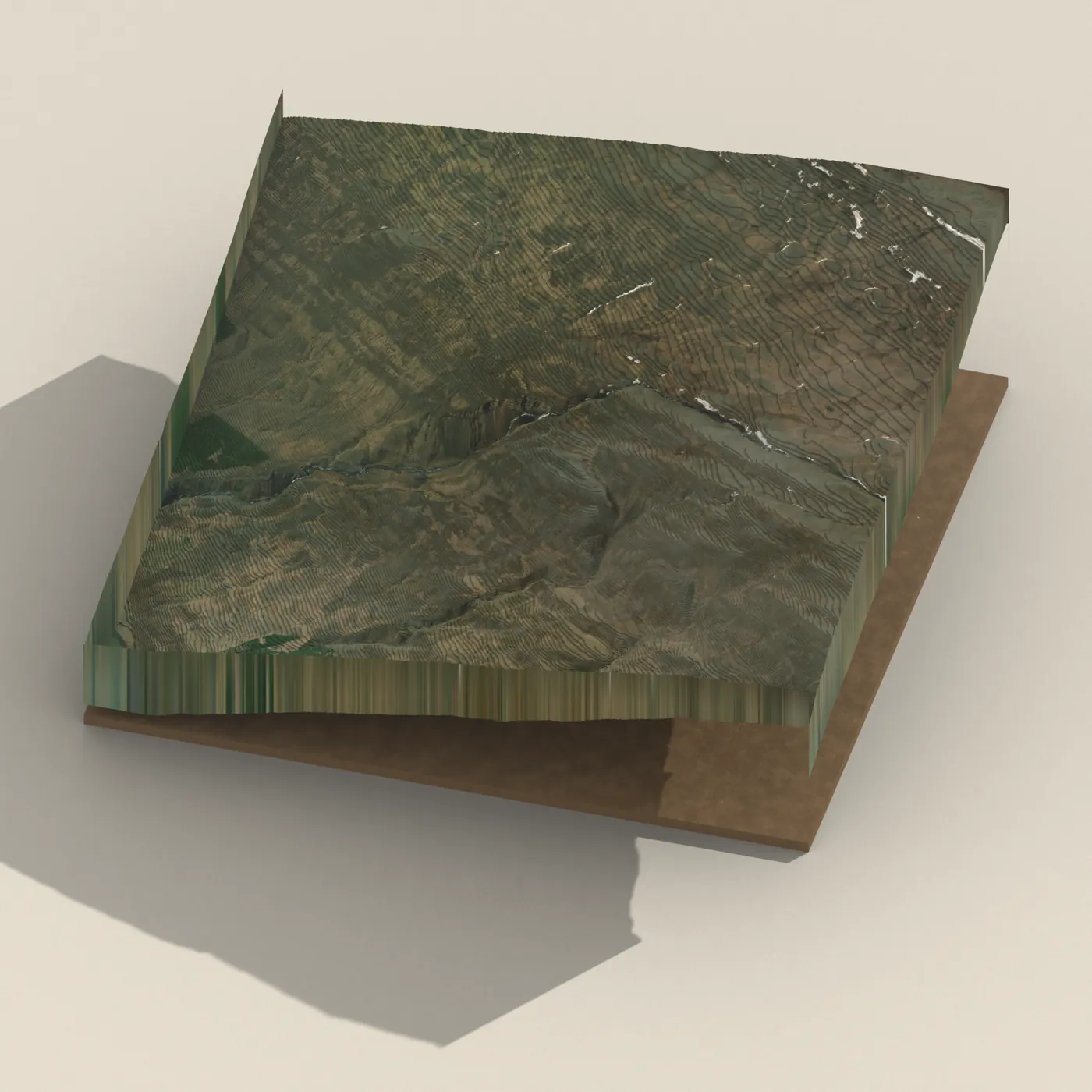
 Esri, Maxar & Earthstar GeographicsSatellite imagery for the 3D terrain render · GIS User Community
Spotted an error, or have something to add? Help us keep this page accurate.