
 Road
 Weather


About
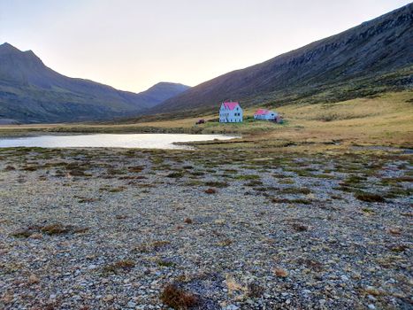
Gönguskarðsá river is a spring creek in Skagafjörður, Iceland that flows to the ocean in the Gönguskörð estuary in Sauðárkrókur off of the north part of Sauðárkrókur.
A unique Icelandic experience. Worth your time.
Check local conditions before visiting. Iceland's weather changes fast.
Map of Gönguskarðsá
Map
65.7442°N, 19.7210°W · North Iceland
Plan your visit
 Getting there
- Road 73 (Skagav-Sauðárkrbr)
 Off the main road
- 0.3 km from Route 73
 Nearest town
- Sauðárkrókur — 3.7 km away
 Distance from Reykjavík
- 206 km in a straight line
 What else is close
- 81 mapped places within 20 km
Tours near Gönguskarðsá
 Give me 5from 31.000 ISK · 3 h
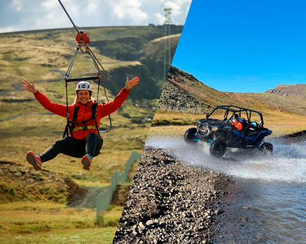
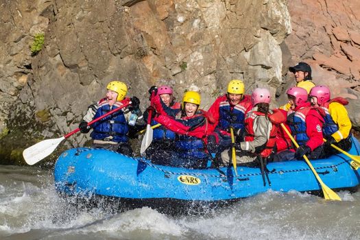 Ride & Raftfrom 35.400 ISK · 8 h
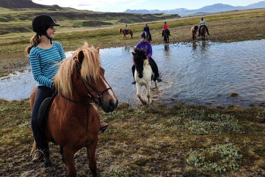 River Deltafrom 28.000 ISK · 3 h
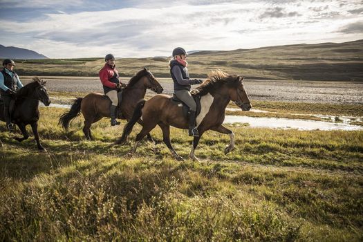
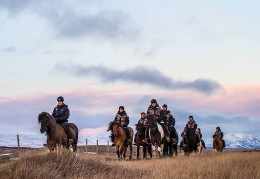 The Viking-Ride- All in Onefrom 15.000 ISK · 1 h 30 min
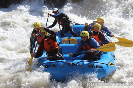 Extreme River Raftingfrom 33.000 ISK · 4 h 30 min
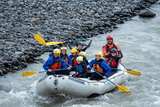 Family River raftingfrom 22.000 ISK · 3 h
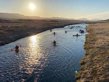 Kayak tripfrom 14.900 ISK · 2 h 15 min
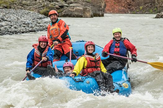 Family Rafting (West)from 21.990 ISK · 3 h 30 min
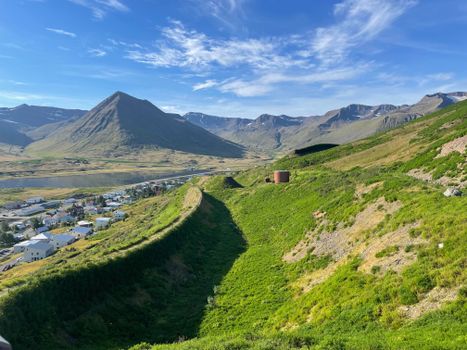 Hvanneyrarskál Walking Tourfrom 6.900 ISK · 2 h
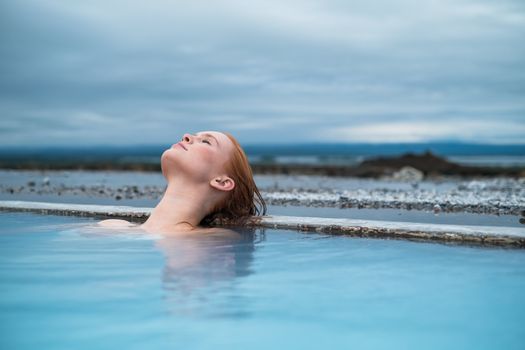 Godafoss Waterfall & Earth Lagoon (Myvatn Nature Baths) Tour with Admissionfrom 28.990 ISK · 6 h
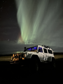 Northern Lights 4x4 Tour from Akureyrifrom 34.799 ISK · 2 h 30 min
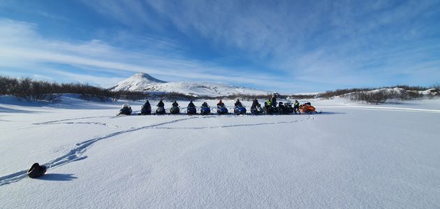 Lake Mývatn & Snowmobile Tour from Akureyrifrom 59.900 ISK · 9 hAll 1,631 toursBy activity and region
Gönguskarðsá weather and conditions
Last updated
2°Cpartly cloudy1 m/swind8 h 30 mdaylight · 08:48 – 17:18

Tonight
Northern lights forecast by region
In season now · Winter in IcelandGodafoss Waterfall & Earth Lagoon (Myvatn Nature Baths) Tour with Admissionfrom 28.990 ISK · 6 hAll 1,631 tours
Cars & campers
−12%exclusive discountFree cancellation KEF airport pickup 24/74.8
 Transmission
 Fuel
 Seats
 Drive


 Sleeps
Photos & videos
No verified videos yet — we only show footage confirmed to be Gönguskarðsá, no lookalikes. Search YouTube
Nearby
km column = your drive
- 1
 Sauðá4 km
- 2
 Svartá15 km
- 3Vestari Héraðsvötn16 km
- 4Austari Héraðsvötn17 km
- 5
 Sæmundará17 km

 Waterfalls


 Hot springs
All hot springs →
 Fuel
- 1Sauðárkrókur3 km · 308.6 kr/L
- 2
 Sauðárkrókur Borgarflöt4 km · 308.7 kr/L
- 3
 Hofsós22 km · 310.9 kr/L
 Supermarkets


 Tours
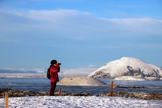 (Cruise Ships) Lake Mývatn and Goðafossfrom 25.300 ISK · 6 hours 30 minutes
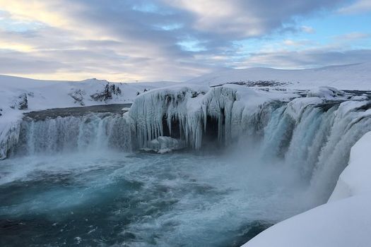 (RS) Lake Myvatn & Godafoss Waterfall Day Tour from Akureyrifrom 25.900 ISK · 6 hours
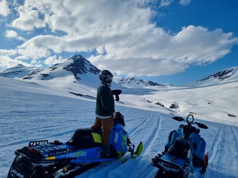 Adventure snowmobile tour Akureyrifrom 166.750 ISK · 5 hours
Frequently
asked
questions
Where is Gönguskarðsá?
Gönguskarðsá is a river in North Iceland, Iceland. Check the map on this page for its course and the nearest access points.
Can you fish in Gönguskarðsá?
Fishing any Icelandic river needs a permit sold per river or beat. Salmon rivers book far ahead and can be expensive; trout and char are more accessible. Never fish without a permit, and disinfect gear brought from abroad.
Is Gönguskarðsá safe to cross?
If Gönguskarðsá is crossed by an unbridged highland ford, treat it with real caution: glacial water is cold, fast, deeper than it looks and higher by afternoon. Cross only with the right 4WD and experience, watch another vehicle first, and if in doubt turn back.
When does Gönguskarðsá run highest?
Glacial rivers peak on warm summer afternoons, after rain and during the spring melt. A ford that is passable in the cool morning can be dangerous by late afternoon. Check road.is before highland driving.
Data & sources
Everything on this page comes from the sources below. Live feeds refresh automatically.
 Wikimedia CommonsHero & gallery photography · Steinninn · Wikimedia Commons · CC BY 4.0
 VegagerðinVisitor access & practical facts
 VegagerðinLive road status & cameras · Icelandic Road Administration
 Open-MeteoWeather forecast · CC BY 4.0
 NOAA SWPCAurora (planetary Kp) forecast · public domain
 OpenStreetMapInteractive-map data · ODbL
 Esri, Maxar & Earthstar GeographicsSatellite imagery for the 3D terrain render · GIS User Community
Spotted an error, or have something to add? Help us keep this page accurate.
Iceland nowfrom 19 Sep 06:10