
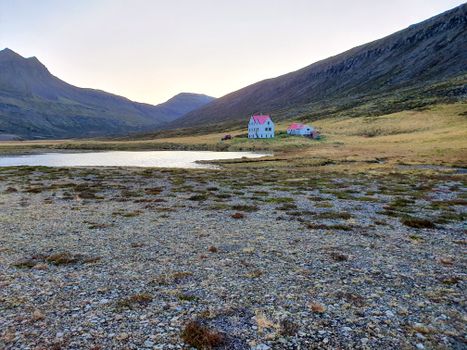
 Road
 Weather


Map of Grímsey á Steingrímsfirði
Map
65.6862°N, 21.3954°W · North Iceland
Plan your visit
 Off the main road
- 5.8 km from Route 68
 Nearest town
- Drangsnes — 1.9 km away
 Distance from Reykjavík
- 173 km in a straight line
 What else is close
- 81 mapped places within 20 km
Tours near Grímsey á Steingrímsfirði
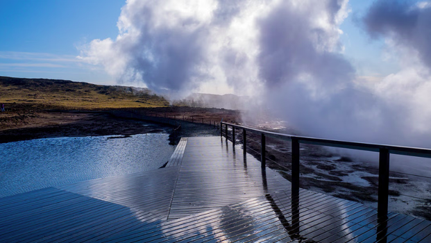 Embark on an exhilarating journey through the Reykjanes Peninsula,from 42.990 ISK · 8 h
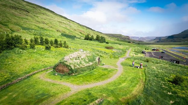 Experience the Settlement Period Farm of Eirik the Red and Leif Eirikssonfrom 2.900 ISK · 1 h
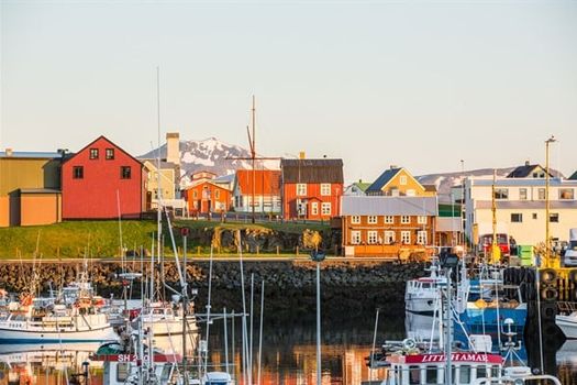 Flatey - Stykkishólmurfrom 4.320 ISK · 1 h 30 min
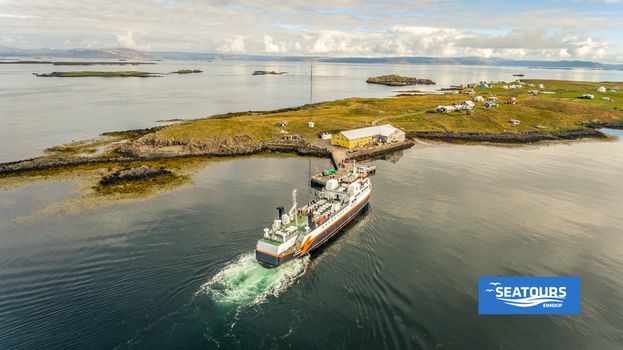 Flatey - Brjánslækurfrom 3.560 ISK · 1 h
 Brjánslækur - Flatey - Stykkishólmurfrom 6.300 ISK · 2 h 30 min
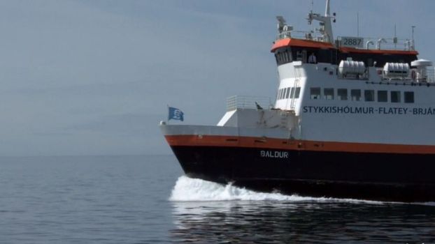 Brjánslækur - Flateyfrom 3.560 ISK · 1 h
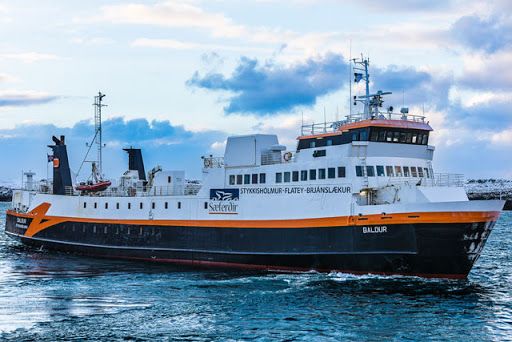 Stykkishólmur - Flateyfrom 4.320 ISK · 1 h 30 min
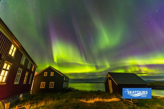 Stykkishólmur - Flatey - Brjánslækurfrom 6.300 ISK · 2 h 30 min
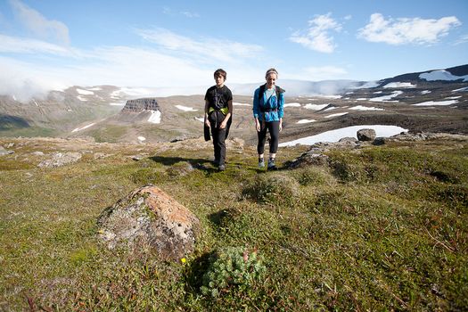 Hornstrandir Panoramafrom 63.100 ISK · 10 h
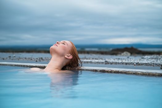 Godafoss Waterfall & Earth Lagoon (Myvatn Nature Baths) Tour with Admissionfrom 28.990 ISK · 6 h
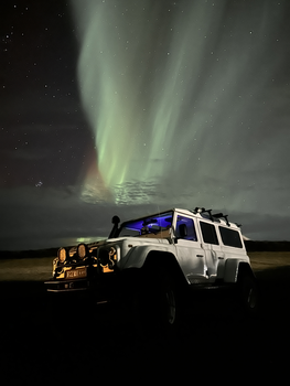 Northern Lights 4x4 Tour from Akureyrifrom 34.799 ISK · 2 h 30 min
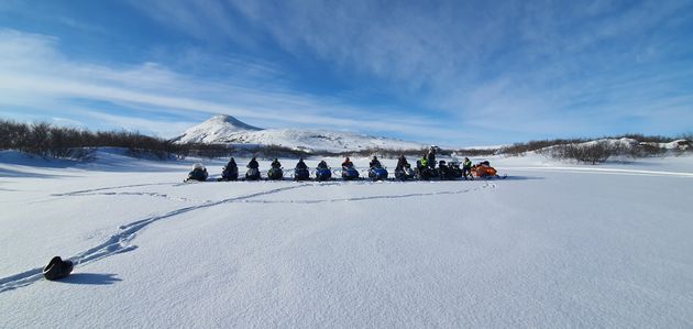 Lake Mývatn & Snowmobile Tour from Akureyrifrom 59.900 ISK · 9 hAll 1,631 toursBy activity and region
Grímsey á Steingrímsfirði weather and conditions
Last updated
4°Covercast · feels -1°C5 m/sgusts 88 h 30 mdaylight · 08:54 – 17:25

Tonight
Northern lights forecast by region
In season now · Winter in IcelandGodafoss Waterfall & Earth Lagoon (Myvatn Nature Baths) Tour with Admissionfrom 28.990 ISK · 6 hAll 1,631 tours
Cars & campers
−12%exclusive discountFree cancellation KEF airport pickup 24/74.8
 Transmission
 Fuel
 Seats
 Drive


 Sleeps
Photos & videos
No verified videos yet — we only show footage confirmed to be Grímsey á Steingrímsfirði, no lookalikes. Search YouTube
Nearby
km column = your drive
- 1
 Malarhorn2 km
- 2
 Gjögur35 km
- 3
 Kálfshamar57 km
- 4Skagatáarviti76 km
- 5
 Sauðárkrókur front range80 km

 Waterfalls


 Hot springs
- 1Geothermal hot spring near Kaldrananeshreppur2 km
- 2
Drangsnes Hot Pots3 km
- 3Gvendarlaug hin forna12 km

 Fuel

 Supermarkets
- 1Kaupfélag Steingrímsfjarðar2 km
- 2Krambúð13 km
- 3Kaupfélag Vestur-Húnvetninga38 km

 Tours
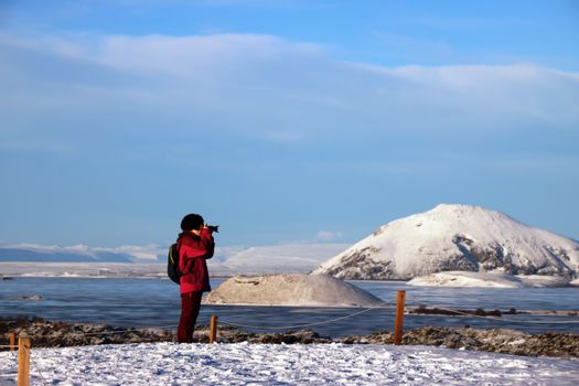 (Cruise Ships) Lake Mývatn and Goðafossfrom 25.300 ISK · 6 hours 30 minutes
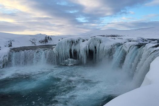 (RS) Lake Myvatn & Godafoss Waterfall Day Tour from Akureyrifrom 25.900 ISK · 6 hours
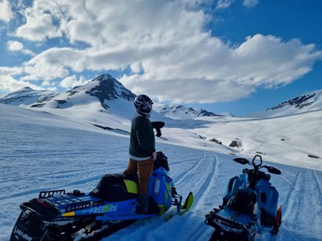 Adventure snowmobile tour Akureyrifrom 166.750 ISK · 5 hours
Frequently
asked
questions
Can you go inside Grímsey á Steingrímsfirði?
Grímsey á Steingrímsfirði is a working navigation aid, so the tower is usually closed to the public. Treat the door as locked unless there is a sign or posted opening hours — the reward is the headland and the view, not the interior.
How do I get to Grímsey á Steingrímsfirði?
Grímsey á Steingrímsfirði is in North Iceland. Check live road conditions on this page before you drive — remote coastal lighthouses often sit at the end of rough gravel tracks, and exposed headlands can be very windy.
Is Grímsey á Steingrímsfirði worth visiting?
It depends on what you want. Lighthouses in Iceland are usually about the setting — the cliffs, the birds, the exposed coast — rather than the building itself. If you are already passing through North Iceland, it is an easy stop; few are worth a long detour on their own.
When is the best time to visit Grímsey á Steingrímsfirði?
Summer gives the clearest access roads and the seabird season on nearby cliffs; clear winter nights can be good for northern lights on this dark coast. Either way, check road conditions and dress for strong wind before you go.
Data & sources
Everything on this page comes from the sources below. Live feeds refresh automatically.
 Wikimedia CommonsHero & gallery photography · Bromr · Wikimedia Commons · CC BY-SA 3.0
 VegagerðinVisitor access & practical facts
 VegagerðinLive road status & cameras · Icelandic Road Administration
 Open-MeteoWeather forecast · CC BY 4.0
 NOAA SWPCAurora (planetary Kp) forecast · public domain
 OpenStreetMapInteractive-map data · ODbL
 Esri, Maxar & Earthstar GeographicsSatellite imagery for the 3D terrain render · GIS User Community
Spotted an error, or have something to add? Help us keep this page accurate.
Iceland nowfrom 19 Sep 06:10