
 HikeSouth Coast
Hvolsvollur


 Road loading…
 Weather loading…
Map of Hvolsvollur
Hvolsvollur is on Iceland's South Coast at 63.6761°N, 19.9468°W. The interactive map has the exact pin, parking and everything around it.
Plan your visit
- Getting there
- Road 250 (Dímonarvegur)
- Off the main road
- 6.4 km from Route 1
 Nearest town
- Hvolsvöllur — 16.3 km away
- Distance from Reykjavík
- 111 km in a straight line
- What else is close
- 142 mapped places within 20 km
Hvolsvollur weather and conditions
At Hvolsvollur in South Coast, conditions as of 15 September 2026, 22:30 (Iceland time): 8°C (feels like 5°C), overcast, wind 3 m/s. Daylight today: 13 h 09 m (sunrise 06:40, sunset 19:50). Check road status before driving on live road conditions.
Data verified 15 September 2026, 22:30 · source: Open-Meteo at this location’s coordinates · refreshes hourly

 —
— —
— —
— —
— Moon—
Moon— ——
—— —
— Sunrise—
 Golden hour AM—
 Golden hour PM—
 Sunset—
 Blue hour—
Cars & campers
 KEF airport pickup 24/74.8
 Transmission
 Fuel
Fuel Seats
Seats Drive
Drive

 Sleeps
Tours near Hvolsvollur
 Small groups
 Duration
 Highlights
 Type
Type
Photos & videos


Reviews
Frequently
asked
questions
How long is the Hvolsvollur hike?
How do I get to the Hvolsvollur trailhead?
Is Hvolsvollur safe to hike alone?
When is the best time to hike Hvolsvollur?
Nearby
km column = your drive
- 1
 Asolfsskali3 km
 - 2
 Nauthusagil Falls4 km
 - 3
 Nauthúsagil4 km
 - 4
 Gluggafoss5 km
 - 5
 Seljalandsfoss – Skogafoss6 km
 Waterfalls
A waterfall in South Coast.
A waterfall in South Coast.
A waterfall in South Coast.

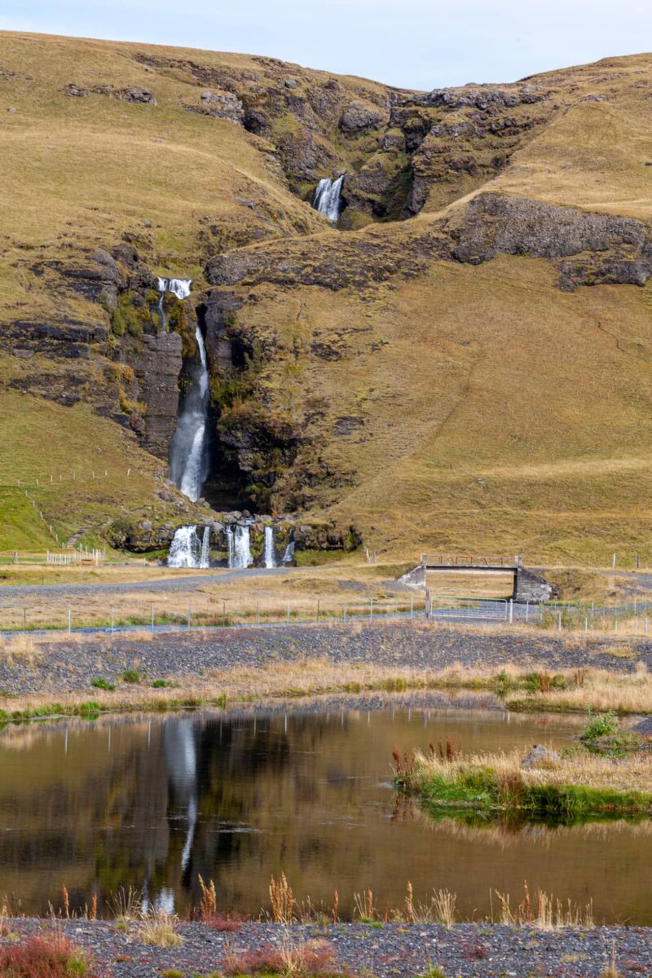
Gluggafoss is a waterfall in southern Iceland, specifically in the Fljótshlíð area. As…
 Hot Springs
Public_bath hot spring
Historic 1923 pool in valley near Seljalandsfoss. Free, 15-min walk, unmaintained. Bring…
Geothermal spot
Listed by Visit South Iceland as Hella's swimming pool — a staffed, geothermally-heated…
 Campsites
Icelandic campsite offering basic facilities for travelers exploring the area. Iceland's…
The camp site is about 2 km from highway no. 1. You turn to north by the waterfall…
The camp site at Hellishólar is a great camp site located in Fljótshlíð, south Iceland.…
Icelandic campsite offering basic facilities for travelers exploring the area. Campfires…
 F-Roads
Loop around Laki craters
The road to Þórsmörk valley
Road to Laki craters
 Supermarkets
Krónan supermarket — supplies
Supermarket — supplies
Bónus supermarket — supplies
Krambúð supermarket — supplies
 Gas stations
N1 · 310.9 kr/L petrol
Orkan · 308.6 kr/L petrol
ÓB · 308.7 kr/L petrol
ÓB · 308.7 kr/L petrol
 Tours
Tours
The Buggy Iceland and Mega Zipline Combo Tour offers an exhilarating adventure for thrill-seekers exploring Iceland.
"Þórsmörk has a spot in every Icelander's heart.
Our transfer service offers a comfortable and safe way to travel from the heart of Iceland's highlands, Landmannalaugar, to the…
Data & sources
Everything on this page comes from the sources below. Live feeds refresh automatically.
 PhotographyHero & gallery photography · sandriera / Wikiloc
 WikilocDescription & facts
 VegagerðinVisitor access & practical facts
 VegagerðinLive road status & cameras · Icelandic Road Administration
 Open-MeteoWeather forecast · CC BY 4.0
 NOAA SWPCAurora (planetary Kp) forecast · public domain
 OpenStreetMapInteractive-map data · ODbL
 Esri, Maxar & Earthstar GeographicsSatellite imagery for the 3D terrain render · GIS User Community
Spotted an error, or have something to add? Help us keep this page accurate.