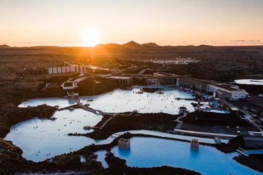
Richard Gould from Vancouver, Canada · Wikimedia Commons · CC BY-SA 2.0
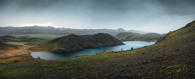
 Christian Bickel · Wikimedia Commons · CC BY-SA 2.0 de
Reykjanes Peninsula Capes
2 mapped

2 capes in Reykjanes Peninsula — mapped with live road conditions, drive times, and directions.
2 capes in Reykjanes Peninsula, led by Reykjanestá. All mapped with drive times, directions, and live road conditions.
2 capes in Reykjanes Peninsula
Distances on the cards are straight-line from Reykjavík.

Reykjanestá
54 km from Reykjavík
Reykjanes is a small headland on the south-western end of the Reykjanes Peninsula in Iceland, giving the main peninsula its name. Volcanic action is responsible for forming the entire peninsula. The nearest town is Keflavik.

Selatangar
38 km from Reykjavík
Cape or headland on the Reykjanes Peninsula. Marks Iceland's coastal features.
Cars & campers
−12%exclusive discountFree cancellation KEF airport pickup 24/74.8
KEF airport pickup 24/74.8
 Transmission
 Fuel
Fuel Seats
Seats Drive
Drive

 Sleeps
Tours near Reykjanes Peninsula
Free cancellation Small groups
Small groups
 Duration
 Highlights
 Type
Type