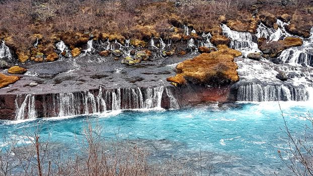
Steinninn · Wikimedia Commons · CC BY 4.0
 Helgi Halldórsson from Reykjavík, Iceland · Wikimedia Commons · CC BY-SA 2.0
 Schnee · Wikimedia Commons · CC BY-SA 3.0
Reykjavík Area Bays
8 mapped

8 bays in Reykjavík Area — mapped with live road conditions, drive times, and directions.
8 bays in Reykjavík Area, led by Skerjafjörður. All mapped with drive times, directions, and live road conditions.
8 bays in Reykjavík Area
Distances on the cards are straight-line from Reykjavík.


Reykjavík harbour
1 km from Reykjavík
Bay or inlet near Reykjavík. Part of Iceland's rugged coastline.


Straumsvík
12 km from Reykjavík
Straumsvík is a harbour on the northern shore of the Reykjanes Peninsula in Iceland.

Skerjafjörður
4 km from Reykjavík
Skerjafjörður is a fjord located immediately west of Iceland's capital Reykjavík. It is part of a larger bay, Faxaflói, on Iceland's west coast.On August 7 2000 a plane crashed into the sea in Skerjafjörður. All 6 people onboard the plane died.
Cars & campers
−12%exclusive discountFree cancellation KEF airport pickup 24/74.8
KEF airport pickup 24/74.8
 Transmission
 Fuel
Fuel Seats
Seats Drive
Drive

 Sleeps
Tours near Reykjavík Area
Free cancellation Small groups
Small groups
 Duration
 Highlights
 Type
Type