



How long is Iceland's Ring Road — and how long does it take to drive?
About 1,320 km, or 820 miles, all the way round. Here's the distance in both units and the honest day count — a measured segment table, live road status, and suggested 5-, 7- and 10-day plans.
Route 1, Iceland's Ring Road, is about 1,320 km — 820 miles all the way round (published figures range from 1,309 to 1,328 km — see below). You can loop it in two to three days flat out, but seven days is the comfortable minimum for the headline stops — and ten or more lets you add the Westfjords, Snæfellsnes and the Diamond Circle without rushing.
Ring Road (R1) slippery in placesHighlands: 16 of 66 monitored roads closed or impassableVegagerðin, updated just now
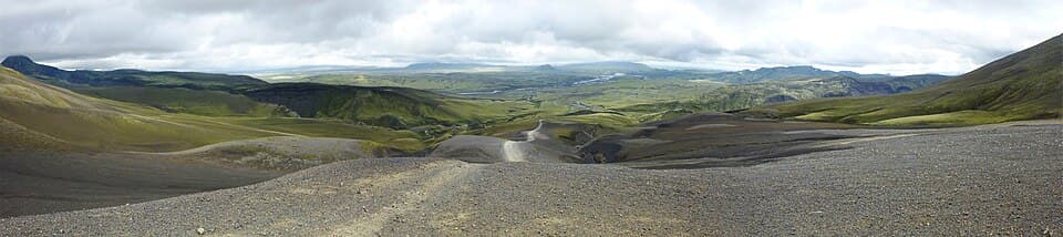
The loop, at a glance
Route 1 traces the coast the whole way round the island. Open the interactive map to see the ring, the detours, and where the tarmac ends.
How many miles is Iceland's Ring Road?
About 820 miles (1,320 km) for the full loop of Route 1. Plan against that.
We say “about” on purpose, and here is the part nobody else tells you: the published lengths of Route 1 do not agree with each other. Wikipedia's Route 1 entry gives 1,309 km (813 mi). Most Iceland travel and rental sites quote 1,328 km (825 mi). Others round to “800 miles”. That is a spread of roughly 12 miles between the figures in circulation, and we could not establish which survey each one comes from — so we are not going to invent a reason for it, and we are not going to pick one and present it as the exact answer.
What it means for you: nothing much. 12 miles is about twenty minutes of driving spread across a whole week. Use 820 miles / 1,320 km, which sits in the middle of the range, and spend your planning effort on the stops instead — that is what actually decides how many days you need.
| Figure | Value |
|---|---|
| Plan against | 1,320 km · 820 mi |
| Lowest published figure | 1,309 km · 813 mi |
| Most commonly quoted | 1,328 km · 825 mi |
| Driving time, no stops | roughly 17–20 hours |
| Over seven days | 189 km · 117 mi per day |
| Over ten days | 132 km · 82 mi per day |
Every detour is on top of that, not inside it. The measured table below gives each big chunk in both units, so you can add your own days up in whichever one you think in.
The short version, then the honest one
The Ring Road is one road — Route 1, or Þjóðvegur 1 — that loops the whole country, and the longest ring road in Europe. Bare of stops, those 820 miles are roughly 17 to 20 hours of driving, which is why you will see “drive it in a day” claims. You can. You just would not see much doing it.
So the real question is not how fast the car can go round — it is how many days you need to stop at the things you came for. That depends on your pace and how far you stray from the tarmac. The table below is built from real measured drives; the plans after it turn those distances into day counts.
| Drive | Distance (km) | Distance (mi) | Driving time | Role on a Ring Road trip |
|---|---|---|---|---|
| Reykjavík → Vík | 186 km | 116 mi | ~2.5 h one way | Main ring · south coast |
| Reykjavík → Jökulsárlón | 370 km | 230 mi | ~4.5–5 h one way | Main ring · southeast (past Vík) |
| Reykjavík → Akureyri | 388 km | 241 mi | ~5 h one way | Main ring · west & north |
| Golden Circle | 250 km | 155 mi | 3–4 h round trip | Detour loop from Reykjavík |
| Diamond Circle | 260 km | 162 mi | ~5 h loop from Akureyri | Detour loop from Akureyri |
Those four numbers per row — distance and one-way (or loop) driving time — are read straight from our measured drive-routes dataset, the same figures behind the live route pages. A caveat worth stating plainly: these are popular measured drives, not a clean slice-up of the ring. The Reykjavík→Jökulsárlón figure already contains the Reykjavík→Vík one, and the eastern quarter — Höfn up through the fjords to Egilsstaðir and Mývatn — is the stretch our dataset doesn't yet break out as its own leg. Read the table as “how far each chunk gets you,” not as five legs that add up to the full loop.
Even so, the shape is clear. The two big paved runs from Reykjavík — 370 km (230 mi) to the glacier lagoon in the southeast, 388 km (241 mi) up to Akureyri in the north — are each about a five-hour driving day on their own. Stack the far side between them and you have the loop. The Golden Circle and Diamond Circle are detour days, not part of the ring, but nearly everyone adds at least one.
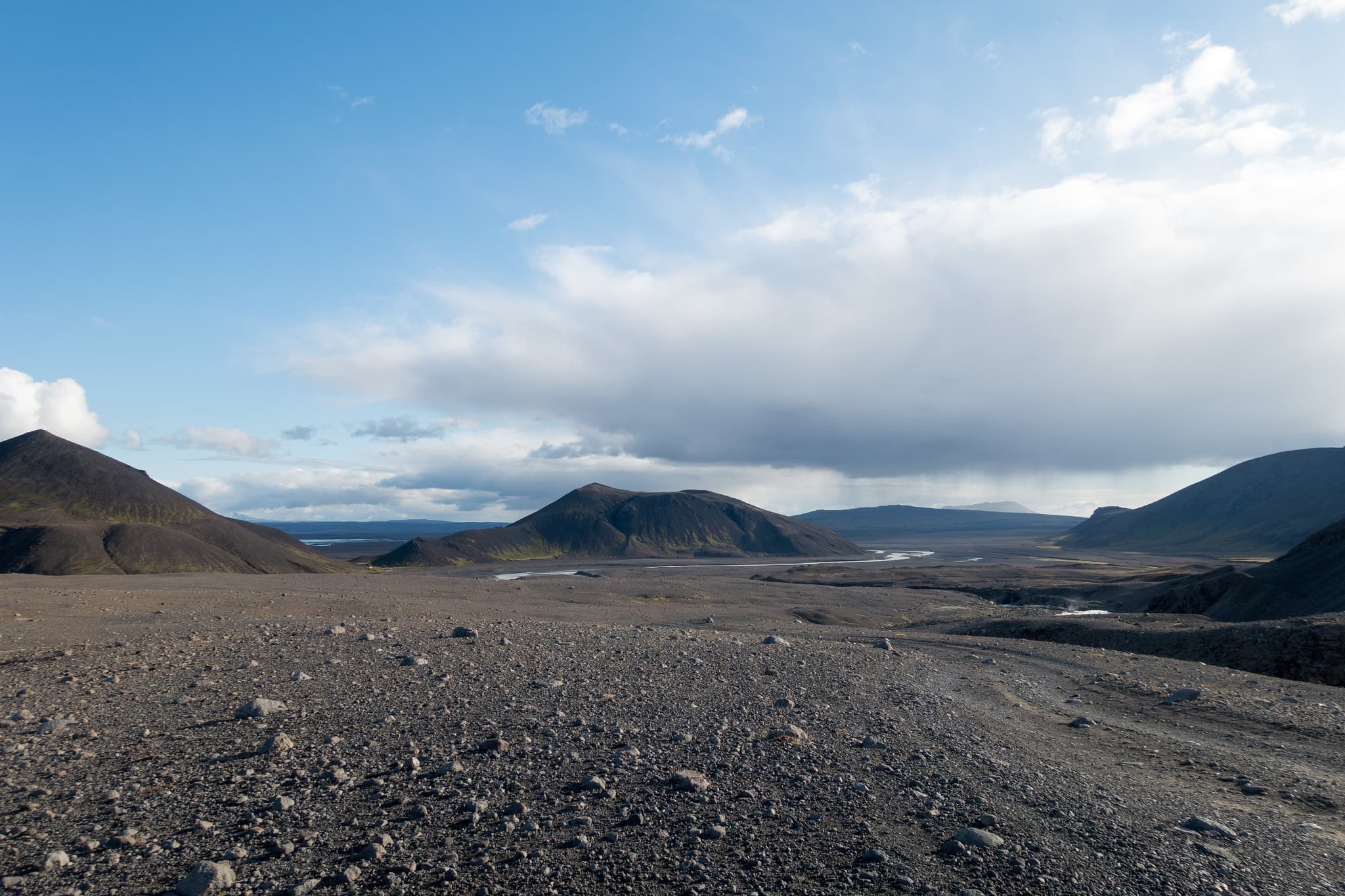
How the days actually add up
Take the total, divide by a realistic daily driving distance, and the day count falls out. Nobody drives 820 miles flat and enjoys it, so the maths is really about pace:
- Two to three days — the flat-out floor. Five to six hours of driving a day, stops measured in minutes. Technically the road; not really the trip.
- Five days — about 264 km, or 164 miles, a day. Headline roadside stops, no detours, no spare day. Fine in summer daylight, tight in shoulder season.
- Seven to eight days — about 176 km, or 109 miles, a day. A couple of hours' driving, the rest for the stops, one buffer day for weather. The version most people should book.
- Ten days or more — the ring plus real detours (Snæfellsnes, the Westfjords, the highlands) and a rest day or two. The right end of the range for winter.
Notice the jump between three days and seven isn't about more road — it's the same 1,320 km / 820 miles either way. It's about how long you stand at each waterfall. Decide that first and the number of days answers itself.
When to add days
Every one of these hangs off Route 1 and adds to your total rather than into it. Budget the extra days up front, because they are the reason people wish they had booked longer:
- The Diamond Circle in the north — Goðafoss, Mývatn, Dettifoss and Húsavík. A measured 260 km loop from Akureyri; a full, worthwhile day on its own. See whether it's open today.
- Snæfellsnes on the way out or back — a peninsula that packs a lot into a day's loop, easy to bolt onto the western side of the ring.
- The Westfjords — the biggest add-on, two to three days of quieter, slower, partly gravel driving off the northwest. Not on the ring, and all the better for it.
- The highlands — F-roads into the interior, summer only and 4WD required by law. A different kind of driving day; plan them as their own thing, not a quick detour.
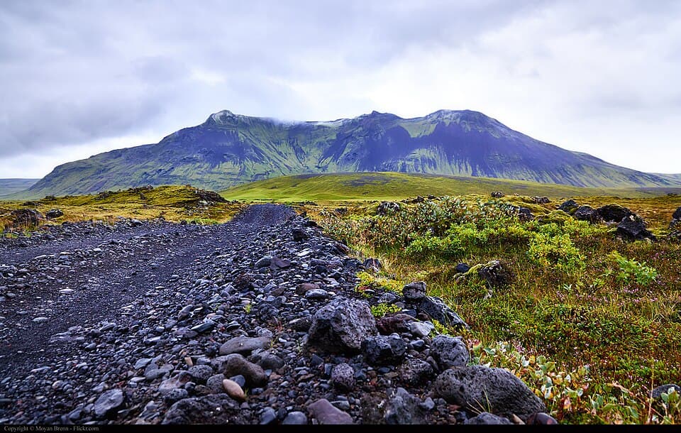
The season changes the maths. The day counts above assume summer, with long daylight and every road open. From roughly November to April, short daylight, snow, ice and wind all cut how far you safely cover in a day — and a single storm can close a mountain heath for hours and pin you in place.
Give a winter loop the ten-day end of the range, not the five, and treat each morning's forecast as the plan. Never push on through a wind or closure warning to keep a schedule — the schedule is the thing that gets people into trouble here. Check live conditions before every leg on our road-conditions guide and the alerts page.
Route 1 right now
Live frames from the passes and stretches that decide how far you get today — the western heath that closes first, the last climb before Akureyri, the windy south coast. A white pass is a straight answer to whether today is a driving day.
 Live
Live Live
Live Live
Live Live
LiveA clear camera doesn't promise a clear hour ahead, but a snowed-in pass is honest. Pair these with the live status line at the top and check the route verdicts for the exact leg you're driving before you commit.
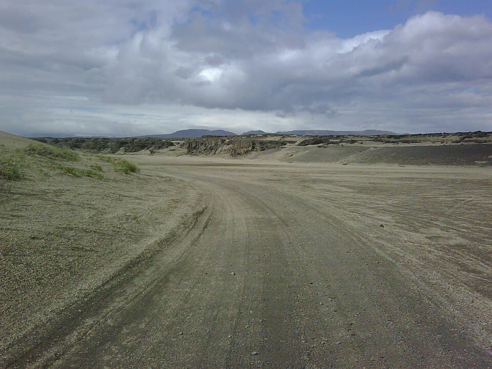
Three plans, by how long you have
Same 1,320 km / 820 miles, three tempos. Pick the one that matches your trip length, then read the measured legs above for the daily driving each involves.
#1.The fast loop
trip length: 5 daysdaily driving: ~264 km (164 mi)/dayscope: headline stops, no detours
Five days is the honest floor for actually seeing the loop rather than just completing it. You drive three to four hours most days and stop for the big roadside names — Seljalandsfoss, Skógafoss, Jökulsárlón, Goðafoss, Mývatn. There is no slack for a bad-weather day, so watch the forecast and be ready to reshuffle. Overnights roughly: Vík, Höfn, Egilsstaðir or Mývatn, Akureyri, back to Reykjavík.
#2.The comfortable loop
trip length: 7–8 daysdaily driving: ~176 km (109 mi)/dayscope: the popular version
A week is what most people should book. The daily driving drops to a couple of hours, which leaves real time for the stops instead of a photo-and-go, and buys one spare day for weather. It also fits a proper Diamond Circle day in the north and an unhurried south coast. This is the version the plans below are built around.
#3.The unhurried loop
trip length: 10+ daysdaily driving: your pacescope: ring + detours + rest days
Ten days or more is where the Ring Road stops being a schedule. You can bolt on Snæfellsnes on the way out, take the Westfjords as a two-to-three-day loop off the northwest, add the highlands if you have a 4WD, and still keep a rest day or two. Anyone travelling in winter should lean toward this end — short daylight and weather closures eat days you did not plan to spend.
Frequently
asked questions
How many days do you need to drive the Ring Road?
How many miles is Iceland’s Ring Road?
How long is Iceland’s Ring Road in kilometres?
How many miles do you drive around Iceland in a week?
Can you drive the Ring Road in a week?
How many hours of driving is the Ring Road?
Can you drive the Ring Road in 5 days?
Does driving the Ring Road take longer in winter?
Which direction should you drive the Ring Road?
Do you need a 4WD to drive the Ring Road?
Cars & campers
 KEF airport pickup 24/74.8
 Transmission
 Fuel
Fuel Seats
Seats Drive
Drive

 Sleeps
Tours near Iceland's Ring Road
 Small groups
 Duration
 Highlights
 Type
Type
