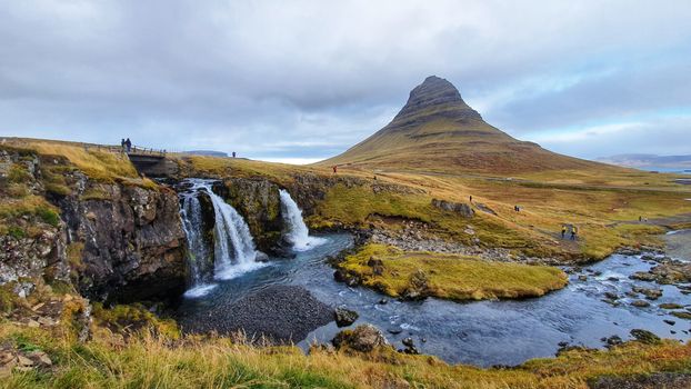
Axel Kristinsson from Reykjavík, Iceland · Wikimedia Commons · CC BY 2.0
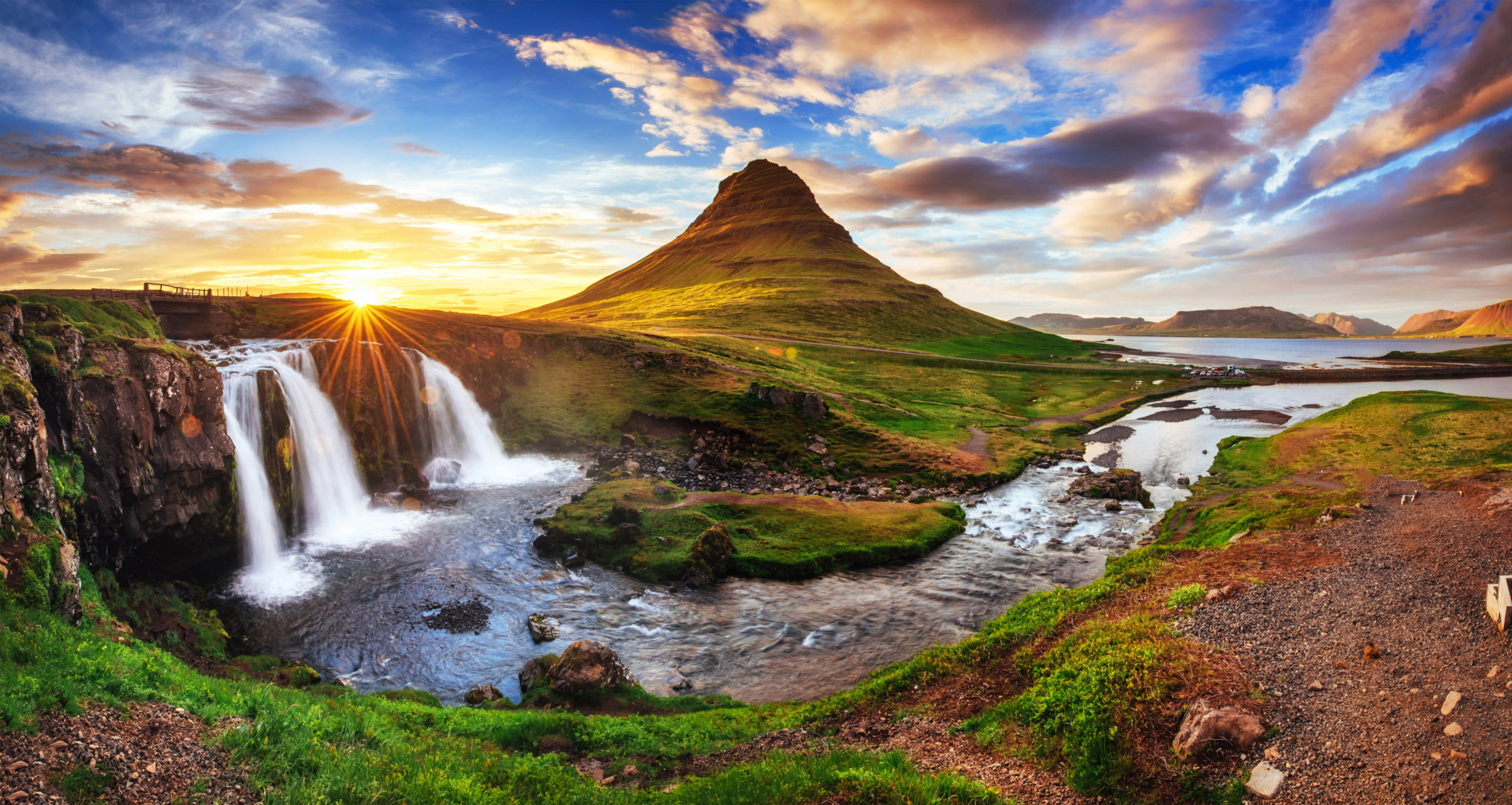
 Christian Bickel fingalo · Wikimedia Commons · CC BY-SA 2.0 de
 Diego Delso · Wikimedia Commons · CC BY-SA 4.0
West Iceland Volcanoes

29 volcanoes in West Iceland — mapped with live road conditions, drive times, and directions.
29 volcanoes in West Iceland, led by Snæfellsjökull and Skjaldbreiður. All mapped with drive times, directions, and live road conditions.
Top volcanoes in West Iceland
The region's stand-outs — each with photos, facts, and its own page. Distances on the cards are straight-line from Reykjavík.
 Dormant
Snæfellsjökull
The glacier-capped volcano at the tip of the Snæfellsnes peninsula. Jules Verne's 'Journey to the Center of the Earth' starts here. On clear days, visible from Reykjavík across the bay. Supposed to be one of Earth's energy centers.
 Dormant
Skjaldbreiður
Skjaldbreiður is an Icelandic lava shield formed in a huge and quite protracted eruption series from about roughly 9,500 years ago. The extensive lava fields which were produced by this eruption, flowed southwards, and formed the basin of Þingvallavatn, Iceland's largest lake, and Þingvellir, the "Parliament Plains" where the Icelandic national assembly, the Alþing was founded in 930.
 Dormant
Prestahnúkur
Glacier-covered volcano in the western highlands. Part of the volcanic zone but rarely discussed. Remote and pristine. For those who want volcanoes without the crowds.
 Dormant
Helgrindur
Helgrindur is a volcanic mountain range or massif in the middle of the Snæfellsnes peninsula that provides a backdrop to the port of Grundarfjörður. The volcano can be regarded as potentially active, with a risk of lava flows and much more rarely explosive tephra eruptions. The range with its prominent peaks, of Tröllkerling at 891 m (2,923 ft) in its south-east, Böðvarskúla at 988 m (3,241 ft) and Kaldnasaborgir (Kaldnasi) in its north-west at 986 m (3,235 ft) is popular with hikers or mountaineers.
 Dormant
Ok
Ok is a shield volcano in Iceland, to the west of Langjökull. It erupted during interglacials in the Pleistocene, and is in proximity to the Prestahnúkur and Oddnýjarhnjúkur-Langjökull volcanic systems. The volcano was once topped by the Okjökull glacier, which may now only be represented by isolated patches of ice, even if still shown on current maps. At its top is the crater lake of Blávatn, which can freeze over.
 Dormant
Ljósufjöll
Volcanic system on the Snæfellsnes peninsula. Less famous than its neighbor Snæfellsjökull but equally volcanic. Last erupted about 1,000 years ago. Part of the dramatic peninsula landscape.
29 volcanoes in West Iceland
DormantSnæfellsjökull
The glacier-capped volcano at the tip of the Snæfellsnes peninsula. Jules Verne's 'Journey to the Center of the Earth' starts here. On clear days, visible from Reykjavík across the bay. Supposed to be one of Earth's energy centers.
DormantSkjaldbreiður
Skjaldbreiður is an Icelandic lava shield formed in a huge and quite protracted eruption series from about roughly 9,500 years ago. The extensive lava fields which were produced by this eruption, flowed southwards, and formed the basin of Þingvallavatn, Iceland's largest lake, and Þingvellir, the "Parliament Plains" where the Icelandic national assembly, the Alþing was founded in 930.
Saxhóll
Part of Iceland's volcanic backbone. The country has over 30 active volcanic systems. This one's contribution to the landscape is all around you.
Stóra Grábrók
Volcanic heritage site. Iceland is one of the most volcanically active places on Earth. Features like this are why.
Vatnsborg
Grashóll
Volcanic heritage site. Iceland is one of the most volcanically active places on Earth. Features like this are why.
Öldungahóll
One of Iceland's many volcanic systems. Some are famous, some are quiet. They all contribute to the geothermal energy and dramatic landscapes.
 125 m
125 mSaxhólar
Volcanic heritage site. Iceland is one of the most volcanically active places on Earth. Features like this are why.

Reykjanes/Svartsengi volcanic system
One of Iceland's many volcanic systems. Some are famous, some are quiet. They all contribute to the geothermal energy and dramatic landscapes.
 112 m
112 mEldborg
Volcanic crater in West Iceland. Perfect cone shape. Popular hiking destination. Name means 'Fire Castle'.
Rauðhóll
Volcanic heritage site. Iceland is one of the most volcanically active places on Earth. Features like this are why.
Sjónarhóll
Volcanic feature in Iceland's active zone. The island sits on the Mid-Atlantic Ridge, and this is part of why. Reminders that this land is still being made.
Sauðhóll
 211 m
211 mGráakúla
Volcanic heritage site. Iceland is one of the most volcanically active places on Earth. Features like this are why.

Kothraunskúla
Volcanic heritage site. Iceland is one of the most volcanically active places on Earth. Features like this are why.

Rauðakúla
Evidence of Iceland's fiery origins. Every landscape here was shaped by volcanoes, whether erupting today or millions of years ago.
Rauðháls
Volcanic heritage site. Iceland is one of the most volcanically active places on Earth. Features like this are why.
 154 m
154 mSyðri-Rauðamelskúlur
Volcanic feature in Iceland's active zone. The island sits on the Mid-Atlantic Ridge, and this is part of why. Reminders that this land is still being made.
 222 m
222 mYtri-Rauðamelskúlur
Evidence of Iceland's fiery origins. Every landscape here was shaped by volcanoes, whether erupting today or millions of years ago.
Grábrókarfell
Volcanic heritage site. Iceland is one of the most volcanically active places on Earth. Features like this are why.
Litla Grábrók
Volcanic heritage site. Iceland is one of the most volcanically active places on Earth. Features like this are why.
DormantPrestahnúkur
Glacier-covered volcano in the western highlands. Part of the volcanic zone but rarely discussed. Remote and pristine. For those who want volcanoes without the crowds.
DormantHelgrindur
Helgrindur is a volcanic mountain range or massif in the middle of the Snæfellsnes peninsula that provides a backdrop to the port of Grundarfjörður. The volcano can be regarded as potentially active, with a risk of lava flows and much more rarely explosive tephra eruptions. The range with its prominent peaks, of Tröllkerling at 891 m (2,923 ft) in its south-east, Böðvarskúla at 988 m (3,241 ft) and Kaldnasaborgir (Kaldnasi) in its north-west at 986 m (3,235 ft) is popular with hikers or mountaineers.
DormantOk
Ok is a shield volcano in Iceland, to the west of Langjökull. It erupted during interglacials in the Pleistocene, and is in proximity to the Prestahnúkur and Oddnýjarhnjúkur-Langjökull volcanic systems. The volcano was once topped by the Okjökull glacier, which may now only be represented by isolated patches of ice, even if still shown on current maps. At its top is the crater lake of Blávatn, which can freeze over.
 Dormant
Ármannsfell
One of Iceland's many volcanic systems. Some are famous, some are quiet. They all contribute to the geothermal energy and dramatic landscapes.
 Dormant
Hrafnabjörg
One of Iceland's many volcanic systems. Some are famous, some are quiet. They all contribute to the geothermal energy and dramatic landscapes.
DormantLjósufjöll
Volcanic system on the Snæfellsnes peninsula. Less famous than its neighbor Snæfellsjökull but equally volcanic. Last erupted about 1,000 years ago. Part of the dramatic peninsula landscape.
 Dormant
Grábrók
Well-preserved crater in West Iceland. Short hike to rim with views. Easy family walk. Near Bifröst.
Cars & campers
 KEF airport pickup 24/74.8
 Transmission
 Fuel
Fuel Seats
Seats Drive
Drive

 Sleeps
Tours near West Iceland
 Small groups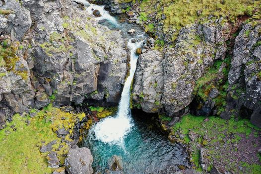
 Duration
 Highlights
 Type
Type