





 Road
Road  Weather


About
Eiríksjökull is an ice cap in the Langjökull Group, the Highlands.
It's part of the Langjökull Group. The name comes from a fugitive robber named Eiríkur who got away from pursuers by scaling Eiríksnípa on the northwestern slope of Eiríksjökull.
Never walk on glaciers without a guide and proper equipment. Crevasses can be hidden by snow bridges.
Map of Eiríksjökull
Map
64.7733°N, 20.4094°W · Highlands
Plan your visit
 Off the main road
- 36 km from Route 1
 Nearest town
- Reykholt — 43.9 km away
 Distance from Reykjavík
- 101 km in a straight line
 What else is close
- 19 mapped places within 20 km
Tours near Eiríksjökull
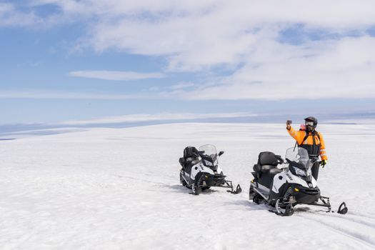 Into The Glacier - With Snowmobiling From Klaki Base Campfrom 36.900 ISK · 2 h 30 min
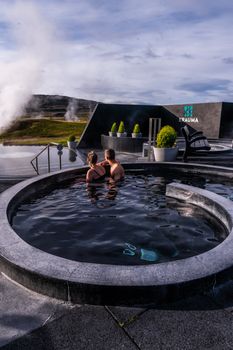 Krauma nature baths - Admission feefrom 7.900 ISK · 1 h
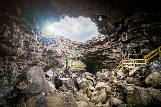 Cave Explorerfrom 9.000 ISK · 1 h 30 min
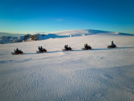 Snowmobile on Langjökull Glacier - Meet us in Husafellfrom 33.490 ISK · 2 h
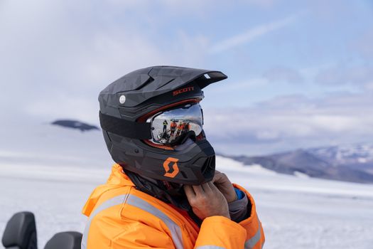 Into The Glacier - With Snowmobiling From Húsafellfrom 36.900 ISK · 4 h 30 min
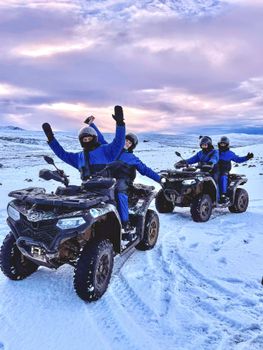 ATV Quad Adventure in Húsafell: Rivers & Mountain Viewsfrom 17.990 ISK · 1 h
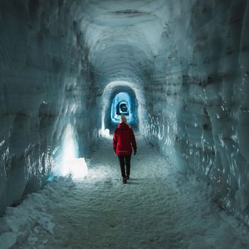 Into The Glacier - From Húsafellfrom 27.900 ISK · 4 h
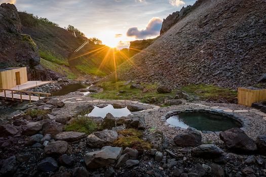 Husafell Canyon Bathsfrom 10.900 ISK · 1 h 45 min
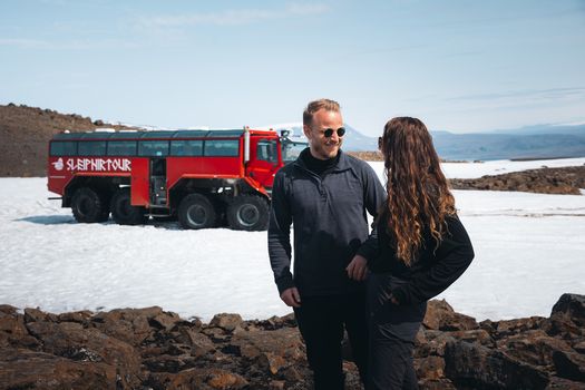 Red Glacier Monster Truck Tour - Unique Langjökull Glacier Tour from Gullfossfrom 22.900 ISK · 4 h
 Blue Ice - Glacier Hike & Ice Climbing from Reykjavíkfrom 32.990 ISK · 13 h 30 min
 Golden Circle and Laugarás Lagoon Lerki Admissionfrom 23.039 ISK · 9 h 30 min
 Spirit of the Aurora (28 person max vehicle)from 14.990 ISK · 5 hAll 1,648 toursBy activity and region
Eiríksjökull weather and conditions
Last updated
-11°Csnow · feels -23°C15 m/sgusts 209 h 54 mdaylight · 08:10 – 18:04

Tonight
Northern lights forecast by region
In season now · Winter in IcelandBlue Ice - Glacier Hike & Ice Climbing from Reykjavíkfrom 32.990 ISK · 13 h 30 minAll 1,648 tours
Cars & campers
−12%exclusive discountFree cancellation KEF airport pickup 24/74.8
KEF airport pickup 24/74.8
 Transmission
 Fuel
Fuel Seats
Seats Drive
Drive

 Sleeps
Photos & videos
Nearby
km column = your drive
- 1Ögmundarjökull3 km
- 2
 Brækur3 km
 - 3Klofajökull4 km
- 4
 Langjökull14 km
 - 5Nyrðri-Skriðjökull27 km

 Waterfalls
 Hot springs
- 1Selgil22 km
- 2Geothermal hot spring near Borgarbyggð23 km
- 3Englandshverir38 km

 Fuel
Fuel
 Supermarkets
 Tours
Tours
 (Cruise Ships) Lake Mývatn and Goðafossfrom 25.300 ISK · 6 hours 30 minutes
 (RS) Lake Myvatn & Godafoss Waterfall Day Tour from Akureyrifrom 25.900 ISK · 6 hours
  A Gourmet golden circle - a taste of Iceland combined with amazing nature attractions!from 159.000 ISK · 8 hours
Frequently
asked
questions
What does the name Eiríksjökull mean?
Eiríksjökull is named after a fugitive robber named Eiríkur who got away from pursuers by scaling Eiríksnípa on the northwestern slope of Eiríksjökull.
What type of glacier is Eiríksjökull?
Eiríksjökull is an ice cap, in the Langjökull Group.
Is Eiríksjökull part of a bigger glacier system?
Yes — Eiríksjökull belongs to the Langjökull Group, per the USGS gazetteer of Icelandic glaciers.
Data & sources
Everything on this page comes from the sources below. Live feeds refresh automatically.
 Wikimedia CommonsHero & gallery photography · Christine und David Schmitt from Klosterneuburg, Austria · Wikimedia Commons · CC BY 2.0
 USGS Professional Paper 1746Glacier facts · Public domain
 VegagerðinVisitor access & practical facts
 VegagerðinLive road status & cameras · Icelandic Road Administration
 Open-MeteoWeather forecast · CC BY 4.0
 NOAA SWPCAurora (planetary Kp) forecast · public domain
 OpenStreetMapInteractive-map data · ODbL
 Esri, Maxar & Earthstar GeographicsSatellite imagery for the 3D terrain render · GIS User Community
Spotted an error, or have something to add? Help us keep this page accurate.
Iceland nowfrom 19 Sep 06:10